
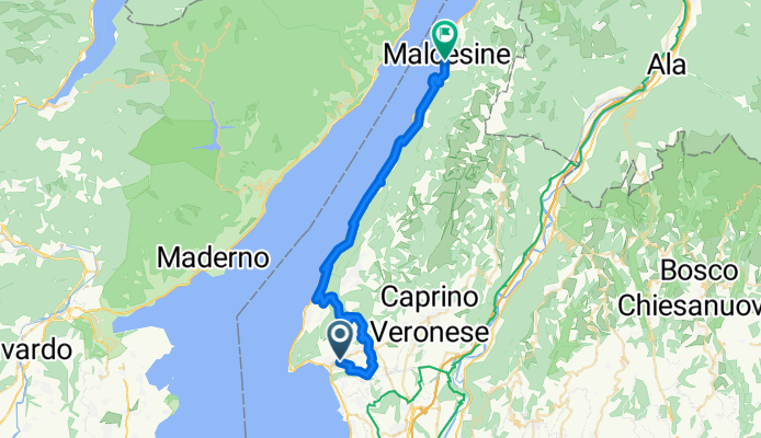
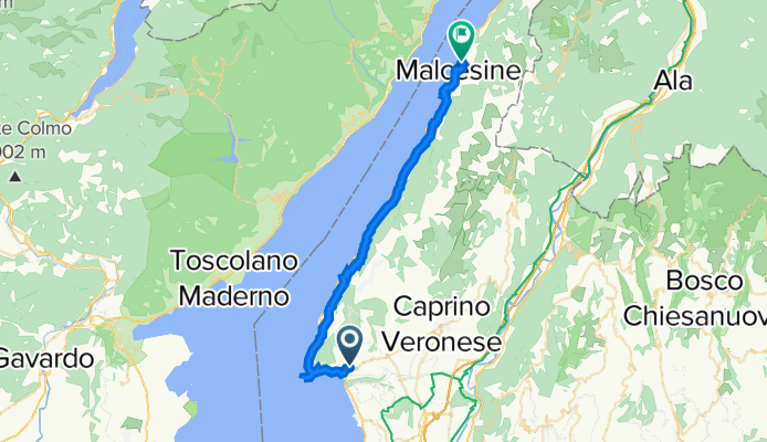
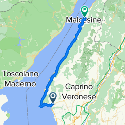
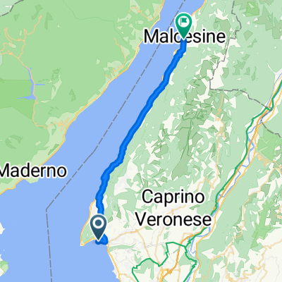
Route template
Garda to Malcesine
- 2 h 49 min
- Duration
- 37.1 km
- Distance
- 992 m
- Ascent
- 990 m
- Descent
- 13.2 km/h
- Avg. speed
- 401 m
- Max. altitude
Roll out from Garda’s pretty bay and promenade, with the Rocca di Garda looming above, and trace the east shore of Lake Garda north toward Malcesine. It’s about 37 km with roughly 1,000 m of climbing—mostly short, punchy rises as the route slips up into olive terraces and back down to the water. Expect mostly paved surfaces with a few brief gravel or cobbled bits, plus a mix of quiet back roads and lakeside paths; there are occasional stretches on the busier Gardesana road, so lights are handy for tunnels.
You’ll pass Torri del Benaco (worth a pause for its Scaliger castle and harbor) and the hamlets of Brenzone sul Garda, where promenades and pebbly beaches tempt a quick swim or gelato stop. The views across to Monte Baldo keep getting bigger as you near Malcesine.
Finish in Malcesine’s postcard lanes beneath the dramatic Scaliger Castle. If you’ve still got legs, the cable car to Monte Baldo offers a spectacular victory lap; otherwise, linger by the harbor—this town lives for sailing and sunsets.
Community
Top users in this region


From our community
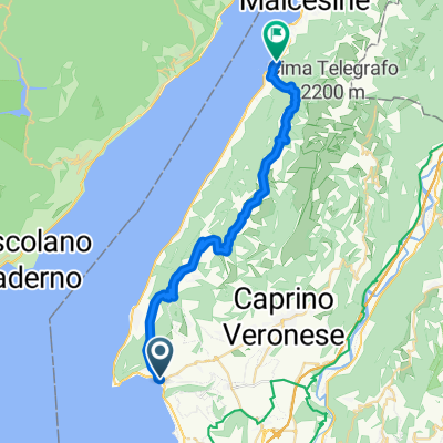
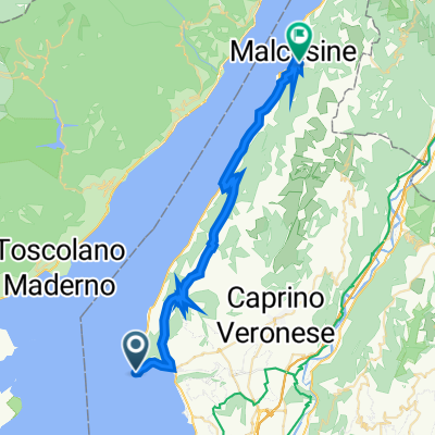
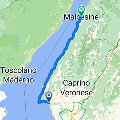
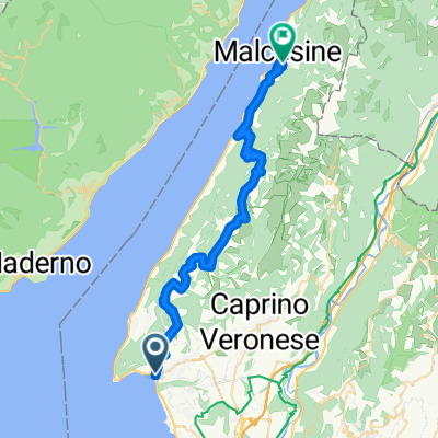
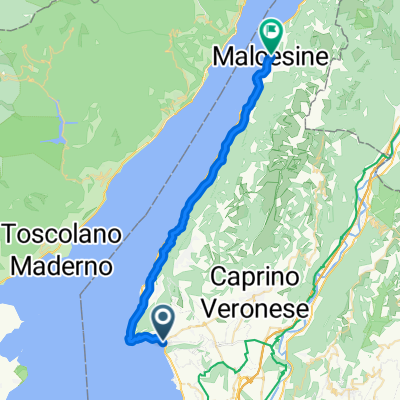
The best bike routes from Garda to Malcesine

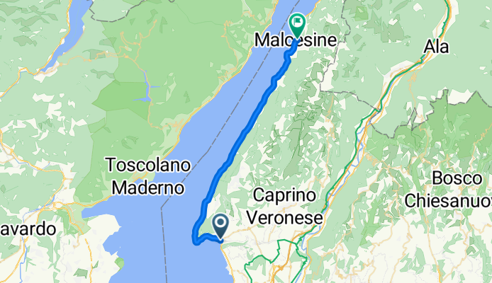
Garda-Malcesine
Cycling route in Garda, Veneto, Italy
- 30 km
- Distance
- 577 m
- Ascent
- 560 m
- Descent
Garda - Malcesine
Cycling route in Garda, Veneto, Italy
- 28.2 km
- Distance
- 108 m
- Ascent
- 85 m
- Descent

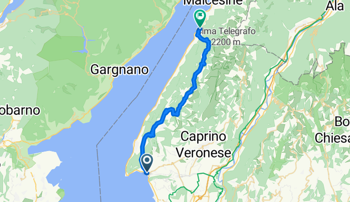
452 Garda Malcesine Panoramatour
Cycling route in Garda, Veneto, Italy
- 29.2 km
- Distance
- 511 m
- Ascent
- 513 m
- Descent

MB Tour Garda - Malcesine CLONED FROM ROUTE 83046
Cycling route in Garda, Veneto, Italy
- 30 km
- Distance
- 577 m
- Ascent
- 560 m
- Descent


Garda - Malcesine Panoramica
Cycling route in Garda, Veneto, Italy
- 29.9 km
- Distance
- 576 m
- Ascent
- 561 m
- Descent
Via Guglielmo Marconi nach Via Gardesana
Cycling route in Garda, Veneto, Italy
- 28.4 km
- Distance
- 770 m
- Ascent
- 752 m
- Descent
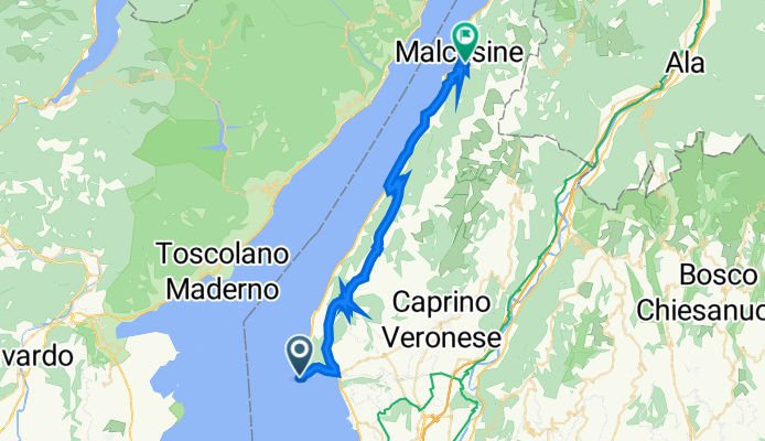
Corso Italia, Garda nach Via Panoramica, Malcesine
Cycling route in Garda, Veneto, Italy
- 39.4 km
- Distance
- 1,868 m
- Ascent
- 1,650 m
- Descent
MB Tour Garda - Malcesine
Cycling route in Garda, Veneto, Italy
- 30 km
- Distance
- 561 m
- Ascent
- 546 m
- Descent
Discover more routes
 Rød rute 3
- Distance
- 32.7 km
- Ascent
- 750 m
- Descent
- 748 m
- Location
- Garda, Veneto, Italy
 Garda malcesine
- Distance
- 28.5 km
- Ascent
- 1,064 m
- Descent
- 1,063 m
- Location
- Garda, Veneto, Italy
 Vigilio
- Distance
- 32.6 km
- Ascent
- 981 m
- Descent
- 779 m
- Location
- Garda, Veneto, Italy
 Rød rute 3
- Distance
- 32.9 km
- Ascent
- 735 m
- Descent
- 734 m
- Location
- Garda, Veneto, Italy
 Garda - Malcesine Panoramica
- Distance
- 29.9 km
- Ascent
- 576 m
- Descent
- 561 m
- Location
- Garda, Veneto, Italy
 Via Guglielmo Marconi nach Via Gardesana
- Distance
- 28.4 km
- Ascent
- 770 m
- Descent
- 752 m
- Location
- Garda, Veneto, Italy
 Corso Italia, Garda nach Via Panoramica, Malcesine
- Distance
- 39.4 km
- Ascent
- 1,868 m
- Descent
- 1,650 m
- Location
- Garda, Veneto, Italy
 MB Tour Garda - Malcesine
- Distance
- 30 km
- Ascent
- 561 m
- Descent
- 546 m
- Location
- Garda, Veneto, Italy
Routes from Garda
Cycling day trip from
Garda to Verona
Routes to Malcesine
Cycling day trip from
Riva del Garda to Malcesine
Cycling day trip from
Torbole sul Garda to Malcesine