
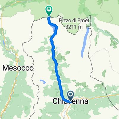
Cycling day trip from Chiavenna to Hinterrhein
Customize your own route based on our template or discover how our community prefers to cycle from Chiavenna to Hinterrhein.
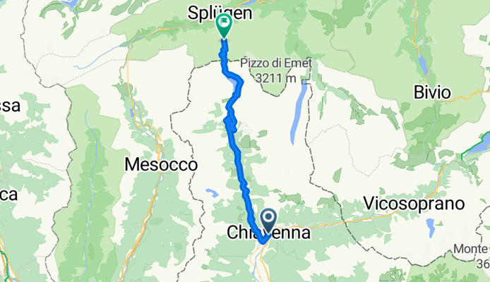
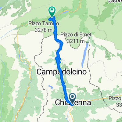
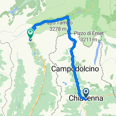
Route template
Chiavenna to Hinterrhein
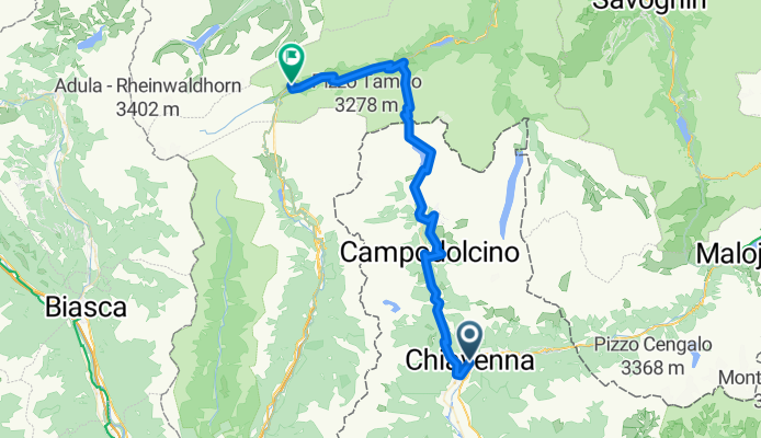
- 5 h 16 min
- Duration
- 60.1 km
- Distance
- 3,039 m
- Ascent
- 1,691 m
- Descent
- 11.4 km/h
- Avg. speed
- 2,135 m
- Max. altitude
Ready for an epic Alpine ride? Start off in Chiavenna, a charming Italian town known for its stone bridges, lively squares, and delicious pizzoccheri (you might want to carbo-load here!). From there, you’ll wind your way north towards Switzerland—all the way to Hinterrhein, a peaceful mountain village perched high in the Swiss Alps.
This 60 km journey isn’t for the faint of heart: you’ll be climbing over 3,000 meters in altitude (yes, really!) and topping out above 2,100 meters at the highest point. The route is mostly paved, but expect a good chunk of gravel and unpaved stretches, so sturdy tires are a plus. Busy roads make up a part of your ride, but you’ll also find lots of quiet stretches and some feeder tracks that let you enjoy stunning mountain views and, on a clear day, endless sky.
Hinterrhein is well known as the source of the Rhine River—a worthy place to catch your breath, soak in the silence of the Swiss mountains, and maybe brag a little about this wild cross-border ride!
Community
Top users in this region


From our community
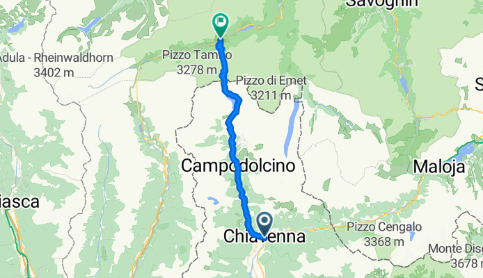
The best bike routes from Chiavenna to Hinterrhein

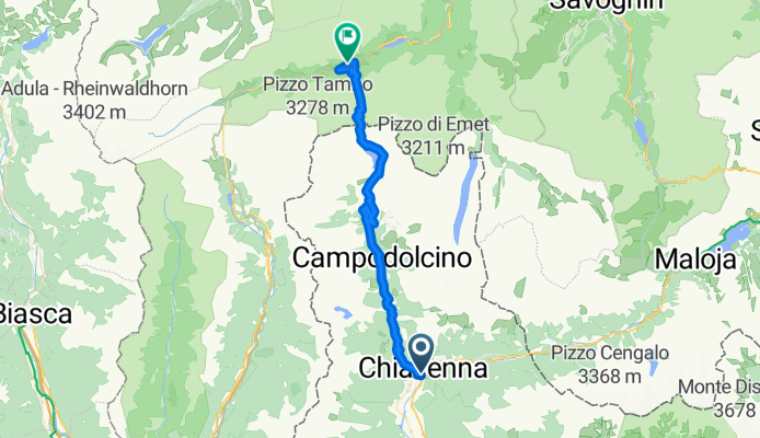
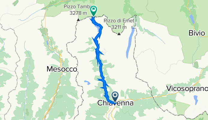
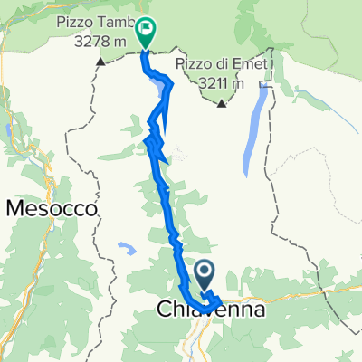
Passo Spluga
Cycling route in Chiavenna, Lombardy, Italy
- 30.5 km
- Distance
- 1,797 m
- Ascent
- 8 m
- Descent

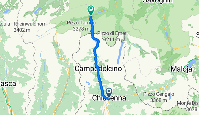
passo spluga
Cycling route in Chiavenna, Lombardy, Italy
- 30.1 km
- Distance
- 1,792 m
- Ascent
- 4 m
- Descent

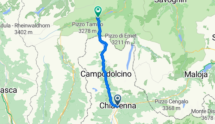
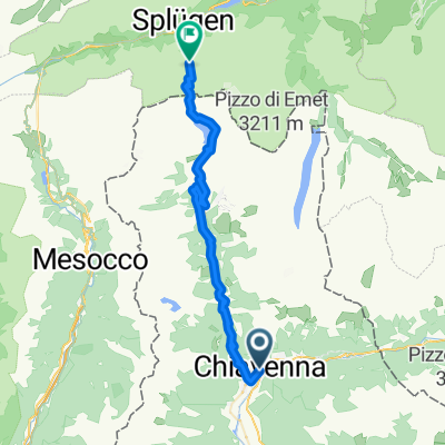
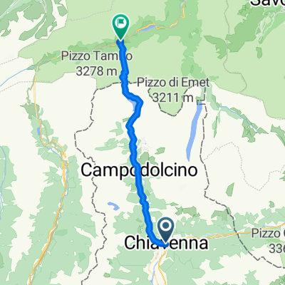
Via Santa Rosalia, Chiavenna nach Splügenpassstrasse, Splügen
Cycling route in Chiavenna, Lombardy, Italy
- 40.7 km
- Distance
- 2,305 m
- Ascent
- 861 m
- Descent
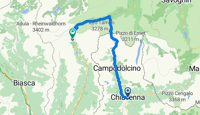
Chiavenna to Splugen
Cycling route in Chiavenna, Lombardy, Italy
- 46.5 km
- Distance
- 2,348 m
- Ascent
- 1,186 m
- Descent
Passo dello Spluga
Cycling route in Chiavenna, Lombardy, Italy
- 36.7 km
- Distance
- 1,962 m
- Ascent
- 1,038 m
- Descent
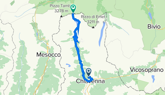
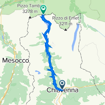
Chiavenna - Monte Spluga - Chiavenna - Monte Spluga
Cycling route in Chiavenna, Lombardy, Italy
- 30.1 km
- Distance
- 2,157 m
- Ascent
- 380 m
- Descent
Discover more routes
 Splügenpass
- Distance
- 39.1 km
- Ascent
- 1,821 m
- Descent
- 687 m
- Location
- Chiavenna, Lombardy, Italy
 Spluggenpas
- Distance
- 30.5 km
- Ascent
- 1,825 m
- Descent
- 29 m
- Location
- Chiavenna, Lombardy, Italy
 Via Santa Rosalia, Chiavenna nach Splügenpassstrasse, Splügen
- Distance
- 40.7 km
- Ascent
- 2,305 m
- Descent
- 861 m
- Location
- Chiavenna, Lombardy, Italy
 Chiavenna to Splugen
- Distance
- 46.5 km
- Ascent
- 2,348 m
- Descent
- 1,186 m
- Location
- Chiavenna, Lombardy, Italy
 Passo dello Spluga
- Distance
- 36.7 km
- Ascent
- 1,962 m
- Descent
- 1,038 m
- Location
- Chiavenna, Lombardy, Italy
 dag7
dag7- Distance
- 38.6 km
- Ascent
- 1,798 m
- Descent
- 665 m
- Location
- Chiavenna, Lombardy, Italy
 Chiavenna - Monte Spluga - Chiavenna - Monte Spluga
- Distance
- 30.1 km
- Ascent
- 2,157 m
- Descent
- 380 m
- Location
- Chiavenna, Lombardy, Italy
 spluga
- Distance
- 59.5 km
- Ascent
- 2,409 m
- Descent
- 687 m
- Location
- Chiavenna, Lombardy, Italy
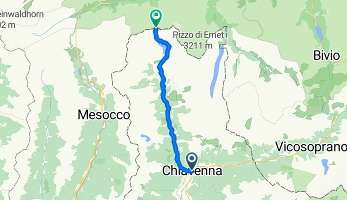
Routes to Hinterrhein
Cycling day trip from
Thusis to Hinterrhein