

Cycling day trip from Königsbach-Stein to Karlsruhe
Customize your own route based on our template or discover how our community prefers to cycle from Königsbach-Stein to Karlsruhe.
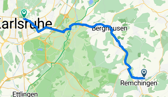
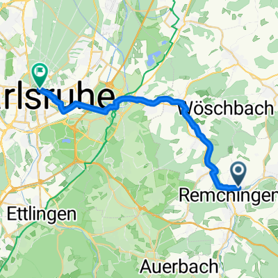
Route template
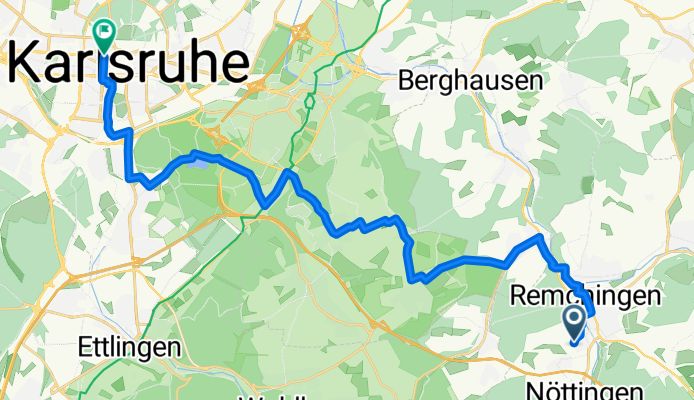
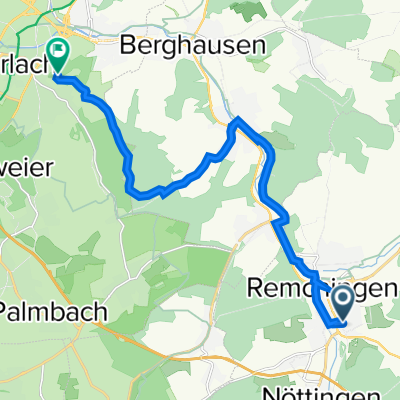
Königsbach-Stein to Karlsruhe
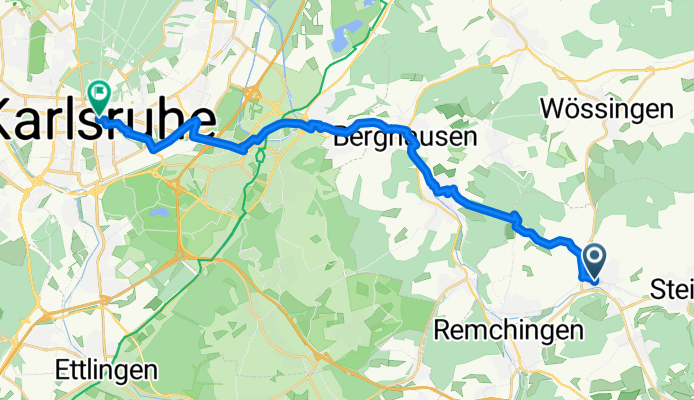
- 1 h 14 min
- Duration
- 21.1 km
- Distance
- 133 m
- Ascent
- 184 m
- Descent
- 17.1 km/h
- Avg. speed
- 274 m
- Max. altitude
Roll out from Königsbach‑Stein, a twin-village community on the edge of the rolling Kraichgau, and point your wheels toward Karlsruhe. It’s about 21 km with gentle ups and downs (around 130 m of climbing) and a net descent as you drop into the Rhine plain—so the ride gets easier as you go.
You’ll cruise mostly on smooth surfaces (predominantly asphalt) with a few short gravel or farm-track stretches; expect a friendly mix of paths and quiet roads before picking up cycleways into the city. Wider tires (28–32 mm) make the brief rough bits comfy.
Gliding into Karlsruhe, you’ll feel the “fan-shaped” layout converge on the palace. The Schloss and its park make a great finish-line spin. Fun fact: Karlsruhe was founded in 1715 and is home to Germany’s Federal Constitutional Court—no wonder it’s big on well-marked bike routes.
Traffic is generally light outside the city; just watch the crossings near the urban edge and enjoy the mostly paved roll into town.
Community
Top users in this region


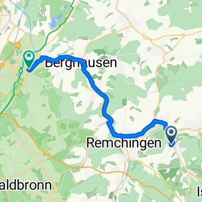
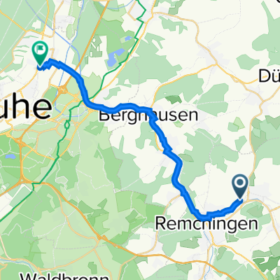
From our community
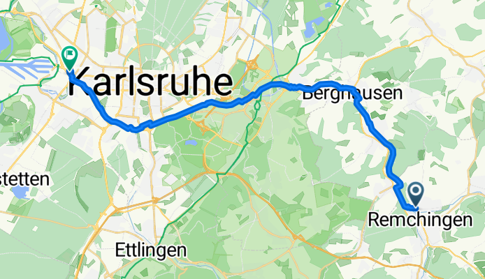
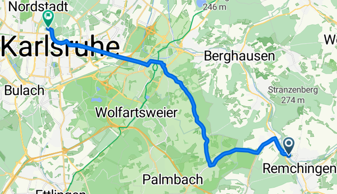
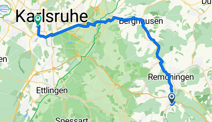
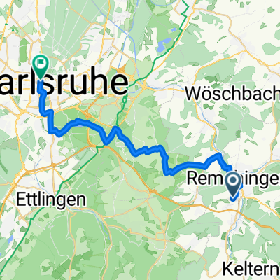
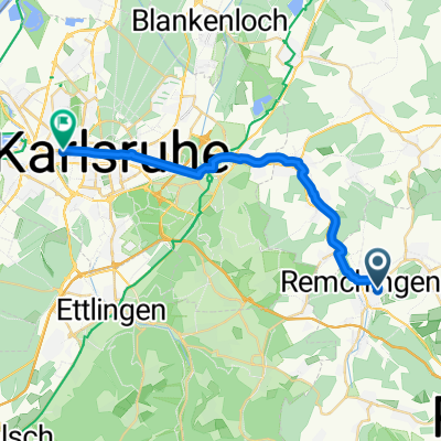
The best bike routes from Königsbach-Stein to Karlsruhe

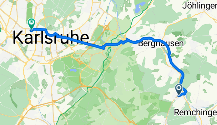
Schwarzwald-Radweg Stupferich, Dobel, Karlsruhe
Cycling route in Königsbach-Stein, Baden-Wurttemberg, Germany
- 58.6 km
- Distance
- 652 m
- Ascent
- 754 m
- Descent

20150120_145441.gpx
Cycling route in Königsbach-Stein, Baden-Wurttemberg, Germany
- 24.6 km
- Distance
- 42 m
- Ascent
- 116 m
- Descent
Feuerwche West
Cycling route in Königsbach-Stein, Baden-Wurttemberg, Germany
- 23.6 km
- Distance
- 28 m
- Ascent
- 75 m
- Descent
Cycle-Sport Remchingen - ABH
Cycling route in Königsbach-Stein, Baden-Wurttemberg, Germany
- 19.1 km
- Distance
- 204 m
- Ascent
- 235 m
- Descent
Heim - Geschäft (Pfinztal)
Cycling route in Königsbach-Stein, Baden-Wurttemberg, Germany
- 25.3 km
- Distance
- 20 m
- Ascent
- 83 m
- Descent
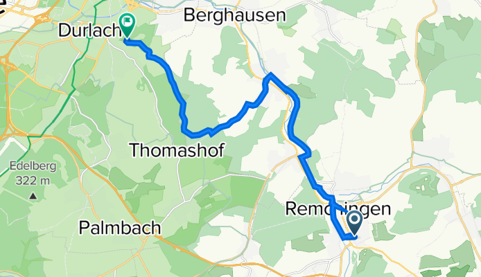
Goethering, Remchingen nach Schlossbezirk, Karlsruhe
Cycling route in Königsbach-Stein, Baden-Wurttemberg, Germany
- 19.8 km
- Distance
- 78 m
- Ascent
- 130 m
- Descent
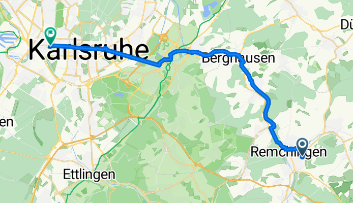
Ausfahrt von Pfinztal nach Karlsruhe
Cycling route in Königsbach-Stein, Baden-Wurttemberg, Germany
- 18.9 km
- Distance
- 32 m
- Ascent
- 84 m
- Descent
Schwarzwaldstraße 6, Kämpfelbach nach Grötzinger Straße 2–6, Karlsruhe
Cycling route in Königsbach-Stein, Baden-Wurttemberg, Germany
- 17.5 km
- Distance
- 23 m
- Ascent
- 117 m
- Descent
Remchinger Straße 16, Königsbach-Stein nach Hofäckerstraße 51, Karlsruhe
Cycling route in Königsbach-Stein, Baden-Wurttemberg, Germany
- 17.5 km
- Distance
- 59 m
- Ascent
- 111 m
- Descent
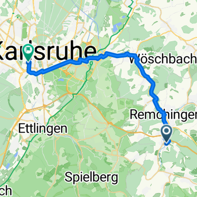
Pforzheimer Straße 18, Remchingen nach Reichardtstraße 31, Karlsruhe
Cycling route in Königsbach-Stein, Baden-Wurttemberg, Germany
- 13.9 km
- Distance
- 230 m
- Ascent
- 168 m
- Descent
Arbeitsweg Max
Cycling route in Königsbach-Stein, Baden-Wurttemberg, Germany
- 25 km
- Distance
- 145 m
- Ascent
- 210 m
- Descent
remchingen Karlsruhe
Cycling route in Königsbach-Stein, Baden-Wurttemberg, Germany
- 21.9 km
- Distance
- 23 m
- Ascent
- 87 m
- Descent
Discover more routes
 Heim - Geschäft (Pfinztal)
- Distance
- 25.3 km
- Ascent
- 20 m
- Descent
- 83 m
- Location
- Königsbach-Stein, Baden-Wurttemberg, Germany
 Goethering, Remchingen nach Schlossbezirk, Karlsruhe
- Distance
- 19.8 km
- Ascent
- 78 m
- Descent
- 130 m
- Location
- Königsbach-Stein, Baden-Wurttemberg, Germany
 Ausfahrt von Pfinztal nach Karlsruhe
- Distance
- 18.9 km
- Ascent
- 32 m
- Descent
- 84 m
- Location
- Königsbach-Stein, Baden-Wurttemberg, Germany
 Schwarzwaldstraße 6, Kämpfelbach nach Grötzinger Straße 2–6, Karlsruhe
- Distance
- 17.5 km
- Ascent
- 23 m
- Descent
- 117 m
- Location
- Königsbach-Stein, Baden-Wurttemberg, Germany
 Remchinger Straße 16, Königsbach-Stein nach Hofäckerstraße 51, Karlsruhe
- Distance
- 17.5 km
- Ascent
- 59 m
- Descent
- 111 m
- Location
- Königsbach-Stein, Baden-Wurttemberg, Germany
 Pforzheimer Straße 18, Remchingen nach Reichardtstraße 31, Karlsruhe
- Distance
- 13.9 km
- Ascent
- 230 m
- Descent
- 168 m
- Location
- Königsbach-Stein, Baden-Wurttemberg, Germany
 Arbeitsweg Max
- Distance
- 25 km
- Ascent
- 145 m
- Descent
- 210 m
- Location
- Königsbach-Stein, Baden-Wurttemberg, Germany
 remchingen Karlsruhe
- Distance
- 21.9 km
- Ascent
- 23 m
- Descent
- 87 m
- Location
- Königsbach-Stein, Baden-Wurttemberg, Germany
Routes to Karlsruhe
Bikepacking from
Freiburg im Breisgau to Karlsruhe
Cycling day trip from
Karlsdorf-Neuthard to Karlsruhe
Cycling day trip from
Strasbourg to Karlsruhe
Quick ride by bicycle from
Rheinstetten to Karlsruhe
Quick ride by bicycle from
Ettlingen to Karlsruhe