
Cycling day trip from Puente Alto to Santiago
Customize your own route based on our template or discover how our community prefers to cycle from Puente Alto to Santiago.
Route template
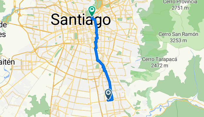
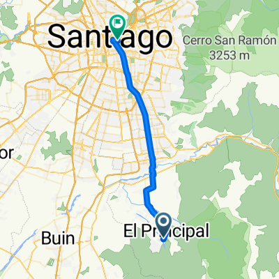
Puente Alto to Santiago

- 1 h 22 min
- Duration
- 24.7 km
- Distance
- 15 m
- Ascent
- 159 m
- Descent
- 18 km/h
- Avg. speed
- 700 m
- Max. altitude
This route starts in Puente Alto, one of the largest and most vibrant communes in southern Santiago, perfect for getting a taste of authentic local life. You’ll head north for just under 25 km, mostly cruising along dedicated cycleways and some quieter city roads, making it a relaxed and mostly traffic-free journey.
There’s hardly any climbing—just a gentle descent into the heart of Santiago, so it’s very beginner-friendly. The path is almost entirely paved, rolling over comfortable asphalt and smooth concrete, with just a hint of busier roads near the city center. As you approach Santiago, you’ll notice how the city skyline rises up, framed by the distant Andes.
The ride ends in downtown Santiago, the lively capital of Chile, where culture, history, and great food await. Perfect for a half-day adventure, whether you’re commuting, sightseeing, or just exploring. Don’t forget to stop for a photo or two with the mountains in the background!
Community
Top users in this region


From our community
The best bike routes from Puente Alto to Santiago
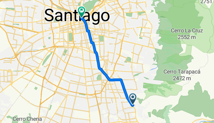
Camino a la Clínica Santa María
Cycling route in Puente Alto, Santiago Metropolitan, Chile
- 21.2 km
- Distance
- 50 m
- Ascent
- 118 m
- Descent

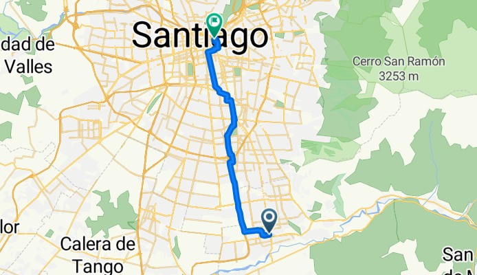
El Llanque 2178, La Florida to Ciclovía Antonio Varas 807, Providencia
Cycling route in Puente Alto, Santiago Metropolitan, Chile
- 17.4 km
- Distance
- 55 m
- Ascent
- 115 m
- Descent

Corcolén 11180, La Florida to Ciclovía Antonio Varas 807, Providencia
Cycling route in Puente Alto, Santiago Metropolitan, Chile
- 17.8 km
- Distance
- 46 m
- Ascent
- 105 m
- Descent

Corcolén 11182, La Florida to Ciclovía Antonio Varas 841–855, Providencia
Cycling route in Puente Alto, Santiago Metropolitan, Chile
- 17.5 km
- Distance
- 90 m
- Ascent
- 150 m
- Descent

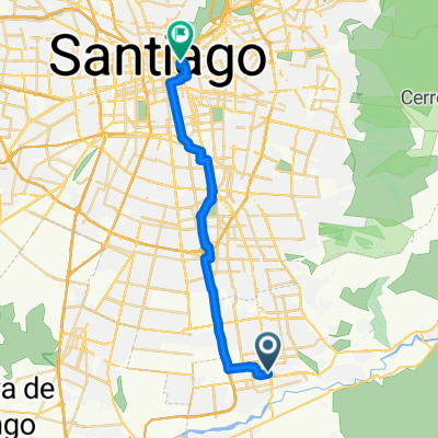
trabajo
Cycling route in Puente Alto, Santiago Metropolitan, Chile
- 21.9 km
- Distance
- 25 m
- Ascent
- 154 m
- Descent

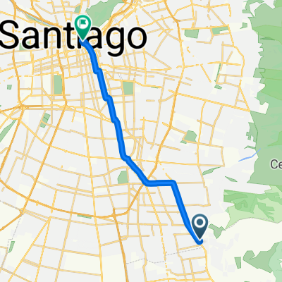
trabajo
Cycling route in Puente Alto, Santiago Metropolitan, Chile
- 21.8 km
- Distance
- 13 m
- Ascent
- 142 m
- Descent

De La Viña 486, Cordillera a El Pinar 106, San Joaquín
Cycling route in Puente Alto, Santiago Metropolitan, Chile
- 15.6 km
- Distance
- 0 m
- Ascent
- 110 m
- Descent
Route to Baquedano
Cycling route in Puente Alto, Santiago Metropolitan, Chile
- 26.8 km
- Distance
- 49 m
- Ascent
- 154 m
- Descent
a santa lucia
Cycling route in Puente Alto, Santiago Metropolitan, Chile
- 17.6 km
- Distance
- 59 m
- Ascent
- 122 m
- Descent

Ruta relajada
Cycling route in Puente Alto, Santiago Metropolitan, Chile
- 11.7 km
- Distance
- 19 m
- Ascent
- 114 m
- Descent
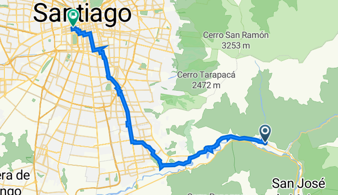
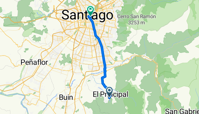
Ruta a Grajales 1970, Santiago
Cycling route in Puente Alto, Santiago Metropolitan, Chile
- 42.9 km
- Distance
- 213 m
- Ascent
- 560 m
- Descent
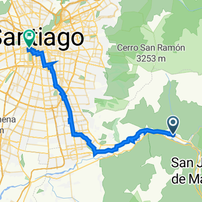
Ruta a Avenida Alameda Libertador Bernardo O'Higgins
Cycling route in Puente Alto, Santiago Metropolitan, Chile
- 39.2 km
- Distance
- 359 m
- Ascent
- 397 m
- Descent
Discover more routes
 trabajo
- Distance
- 21.9 km
- Ascent
- 25 m
- Descent
- 154 m
- Location
- Puente Alto, Santiago Metropolitan, Chile
 trabajo
- Distance
- 21.8 km
- Ascent
- 13 m
- Descent
- 142 m
- Location
- Puente Alto, Santiago Metropolitan, Chile
 De La Viña 486, Cordillera a El Pinar 106, San Joaquín
- Distance
- 15.6 km
- Ascent
- 0 m
- Descent
- 110 m
- Location
- Puente Alto, Santiago Metropolitan, Chile
 Route to Baquedano
- Distance
- 26.8 km
- Ascent
- 49 m
- Descent
- 154 m
- Location
- Puente Alto, Santiago Metropolitan, Chile
 a santa lucia
- Distance
- 17.6 km
- Ascent
- 59 m
- Descent
- 122 m
- Location
- Puente Alto, Santiago Metropolitan, Chile
 Ruta relajada
- Distance
- 11.7 km
- Ascent
- 19 m
- Descent
- 114 m
- Location
- Puente Alto, Santiago Metropolitan, Chile
 Ruta a Grajales 1970, Santiago
- Distance
- 42.9 km
- Ascent
- 213 m
- Descent
- 560 m
- Location
- Puente Alto, Santiago Metropolitan, Chile
 Ruta a Avenida Alameda Libertador Bernardo O'Higgins
- Distance
- 39.2 km
- Ascent
- 359 m
- Descent
- 397 m
- Location
- Puente Alto, Santiago Metropolitan, Chile
Routes from Puente Alto
Cycling day trip from
Puente Alto to Villa Presidente Frei
Quick ride by bicycle from
Puente Alto to La Pintana
Routes to Santiago
Cycling day trip from
San Bernardo to Santiago
Cycling day trip from
La Pintana to Santiago
Quick ride by bicycle from
Villa Presidente Frei to Santiago
Quick ride by bicycle from
Lo Prado to Santiago