
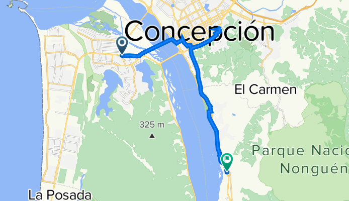
By bicycle from Concepción to Chiguayante
Customize your own route based on our template or discover how our community prefers to cycle from Concepción to Chiguayante.
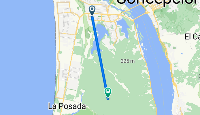
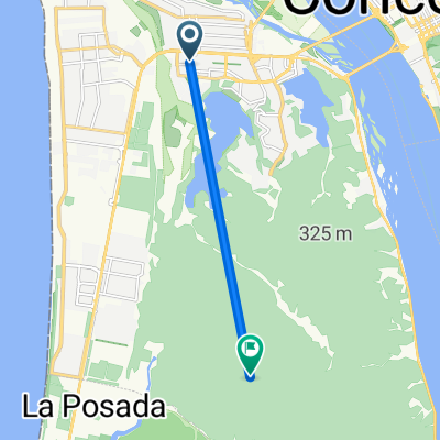
Route template
Concepción to Chiguayante

- 1 h 4 min
- Duration
- 14.4 km
- Distance
- 54 m
- Ascent
- 50 m
- Descent
- 13.5 km/h
- Avg. speed
- 38 m
- Max. altitude
This ride takes you from the vibrant city of Concepción down to the quieter, scenic town of Chiguayante, just over 14 km away. Concepción, known for its dynamic university vibe and cultural scene, is a great place to start. Soon after you leave the city buzz behind, you’ll notice the pace drops and you’re surrounded by more nature and fresh air as you roll towards Chiguayante along the Biobío River.
The route is pretty gentle, with only a few mild climbs—the total ascent isn’t too intimidating. Most of your ride will be on paved cycleways and concrete surfaces, which makes for a comfortable spin, though keep an eye out for some unpaved patches that add a bit of adventure. It’s a good idea to check your tires before heading out!
You’ll pass through a mix of urban and quieter areas, and there are some nice river views along the way. When you reach Chiguayante, enjoy the calmer atmosphere and maybe grab something to eat from a local bakery—after all, you’ve earned it!
Community
Top users in this region


From our community
The best bike routes from Concepción to Chiguayante


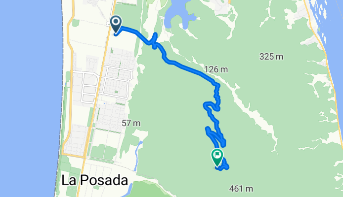
Ruta desde Volcán Ollagüe 1er descanso
Cycling route in Concepción, Región del Biobío, Chile
- 13 km
- Distance
- 139 m
- Ascent
- 89 m
- Descent

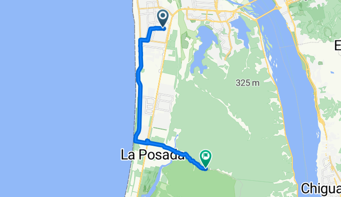
Ruta de descanso
Cycling route in Concepción, Región del Biobío, Chile
- 10.6 km
- Distance
- 385 m
- Ascent
- 139 m
- Descent
esvanso 1
Cycling route in Concepción, Región del Biobío, Chile
- 16.9 km
- Distance
- 185 m
- Ascent
- 153 m
- Descent


De Ruta 160 - Av Pdte. Jorge Alessandri / Norte, San Pedro de la Paz a Calle 2 1106, Concepción
Cycling route in Concepción, Región del Biobío, Chile
- 18.5 km
- Distance
- 89 m
- Ascent
- 88 m
- Descent

De Paicaví 1267, Concepción a Vía sin nombre, San Pedro de la Paz
Cycling route in Concepción, Región del Biobío, Chile
- 21.1 km
- Distance
- 418 m
- Ascent
- 156 m
- Descent

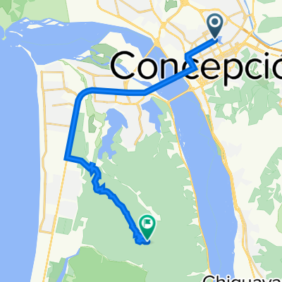
De Víctor Lamas 1270, Concepción a Graham Bell 347, Chiguayante
Cycling route in Concepción, Región del Biobío, Chile
- 10.7 km
- Distance
- 88 m
- Ascent
- 80 m
- Descent

Carlos Pezoa Véliz, San Pedro de la Paz a Itata 8470, San Pedro de la Paz
Cycling route in Concepción, Región del Biobío, Chile
- 7.3 km
- Distance
- 26 m
- Ascent
- 20 m
- Descent
De Ruta 160 - Av Pdte. Jorge Alessandri / Norte, San Pedro de la Paz a Colón Viejo 80, Chiguayante
Cycling route in Concepción, Región del Biobío, Chile
- 17.4 km
- Distance
- 81 m
- Ascent
- 77 m
- Descent

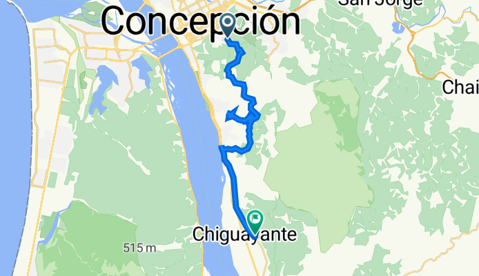
primer descanso
Cycling route in Concepción, Región del Biobío, Chile
- 12.9 km
- Distance
- 136 m
- Ascent
- 85 m
- Descent
Discover more routes
 De Ruta 160 - Av Pdte. Jorge Alessandri / Norte, San Pedro de la Paz a Calle 2 1106, Concepción
- Distance
- 18.5 km
- Ascent
- 89 m
- Descent
- 88 m
- Location
- Concepción, Región del Biobío, Chile
 De Paicaví 1267, Concepción a Vía sin nombre, San Pedro de la Paz
- Distance
- 21.1 km
- Ascent
- 418 m
- Descent
- 156 m
- Location
- Concepción, Región del Biobío, Chile
 De Víctor Lamas 1270, Concepción a Graham Bell 347, Chiguayante
- Distance
- 10.7 km
- Ascent
- 88 m
- Descent
- 80 m
- Location
- Concepción, Región del Biobío, Chile
 Carlos Pezoa Véliz, San Pedro de la Paz a Itata 8470, San Pedro de la Paz
- Distance
- 7.3 km
- Ascent
- 26 m
- Descent
- 20 m
- Location
- Concepción, Región del Biobío, Chile
 De Ruta 160 - Av Pdte. Jorge Alessandri / Norte, San Pedro de la Paz a Colón Viejo 80, Chiguayante
- Distance
- 17.4 km
- Ascent
- 81 m
- Descent
- 77 m
- Location
- Concepción, Región del Biobío, Chile
 primer descanso
- Distance
- 12.9 km
- Ascent
- 136 m
- Descent
- 85 m
- Location
- Concepción, Región del Biobío, Chile
 cantera
- Distance
- 25.4 km
- Ascent
- 642 m
- Descent
- 660 m
- Location
- Concepción, Región del Biobío, Chile
 23 de agosto
- Distance
- 7.8 km
- Ascent
- 6 m
- Descent
- 0 m
- Location
- Concepción, Región del Biobío, Chile
Routes from Concepción
By bicycle from
Concepción to Talcahuano