
Quick ride by bicycle from Houston to West University Place
Customize your own route based on our template or discover how our community prefers to cycle from Houston to West University Place.
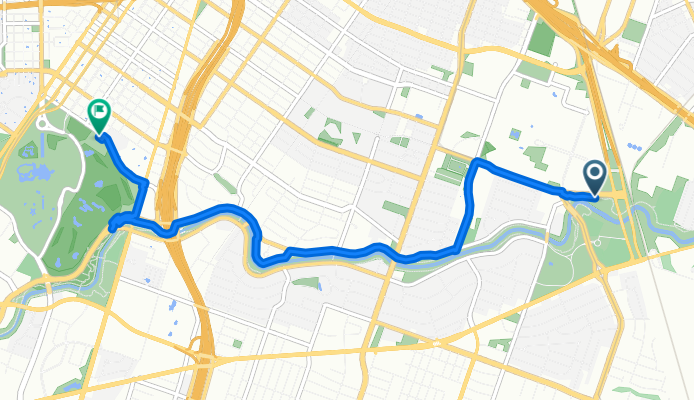
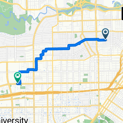
Route template
Houston to West University Place

- 43 min
- Duration
- 12.5 km
- Distance
- 35 m
- Ascent
- 45 m
- Descent
- 17.5 km/h
- Avg. speed
- 32 m
- Max. altitude
This pleasant, roughly 12.5 km ride takes you from the heart of Houston to the charming suburb of West University Place. Kick off downtown—Houston’s a sprawling city, known for its diverse food scene, vibrant arts, and the NASA Space Center. You’ll mostly roll on quiet roads (about 70%), with a good stretch (19%) of your route traversing dedicated cycleways, which makes it easy-going and beginner-friendly.
The route covers mostly paved surfaces, with a blend of both asphalt and concrete, so it’s smooth cruising nearly the whole way. There’s a gentle ascent and descent, but nothing too taxing, making it a relaxed ride.
As you arrive in West University Place—often just called “West U”—you’ll notice a cozy, tree-lined atmosphere that's a big contrast to Houston’s urban core. This residential neighborhood is known for its parks, playgrounds, and walkable streets. Perfect for catching your breath or grabbing a coffee before heading back!
Community
Top users in this region


From our community
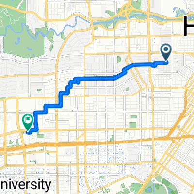
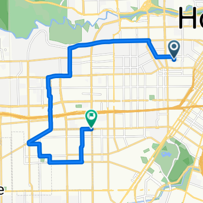
The best bike routes from Houston to West University Place

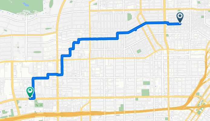
Whitney St, Houston to Richmond Ave, Houston
Cycling route in Houston, Texas, United States
- 5.6 km
- Distance
- 6 m
- Ascent
- 0 m
- Descent

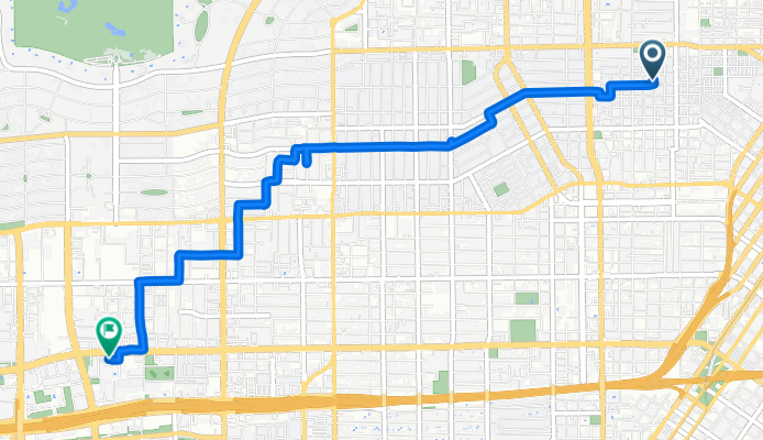
Whitney St, Houston to Richmond Ave, Houston
Cycling route in Houston, Texas, United States
- 6.7 km
- Distance
- 31 m
- Ascent
- 14 m
- Descent


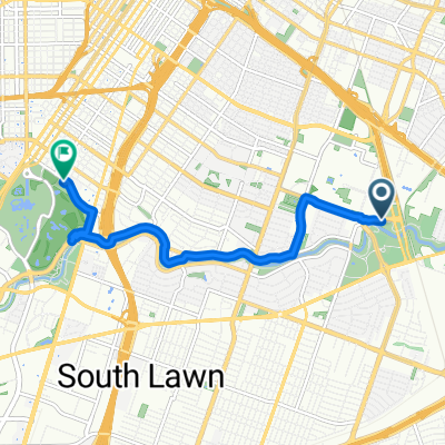
Memorial Park Picnic Loop Route
Cycling route in Houston, Texas, United States
- 9.6 km
- Distance
- 38 m
- Ascent
- 30 m
- Descent

Astros to Hermann park
Cycling route in Houston, Texas, United States
- 6.2 km
- Distance
- 60 m
- Ascent
- 73 m
- Descent
Wheeler Ave, Houston to Hermann Dr, Houston
Cycling route in Houston, Texas, United States
- 8.1 km
- Distance
- 19 m
- Ascent
- 14 m
- Descent
Whitney St, Houston to Richmond Ave, Houston
Cycling route in Houston, Texas, United States
- 5.8 km
- Distance
- 16 m
- Ascent
- 10 m
- Descent

Willard St, Houston to Richmond Ave, Houston
Cycling route in Houston, Texas, United States
- 5.9 km
- Distance
- 10 m
- Ascent
- 6 m
- Descent

3203 La Branch St, Houston to 6442–6446 Lamar Fleming Ave, Houston
Cycling route in Houston, Texas, United States
- 4.6 km
- Distance
- 46 m
- Ascent
- 37 m
- Descent

100 Detering St, Houston to 6104 Hermann Park Dr, Houston
Cycling route in Houston, Texas, United States
- 10.2 km
- Distance
- 64 m
- Ascent
- 72 m
- Descent

Route to Marquis 2
Cycling route in Houston, Texas, United States
- 12.8 km
- Distance
- 32 m
- Ascent
- 28 m
- Descent
Discover more routes
 Astros to Hermann park
- Distance
- 6.2 km
- Ascent
- 60 m
- Descent
- 73 m
- Location
- Houston, Texas, United States
 Wheeler Ave, Houston to Hermann Dr, Houston
- Distance
- 8.1 km
- Ascent
- 19 m
- Descent
- 14 m
- Location
- Houston, Texas, United States
 Whitney St, Houston to Richmond Ave, Houston
- Distance
- 5.8 km
- Ascent
- 16 m
- Descent
- 10 m
- Location
- Houston, Texas, United States
 House to Memorial
- Distance
- 7.8 km
- Ascent
- 29 m
- Descent
- 26 m
- Location
- Houston, Texas, United States
 Willard St, Houston to Richmond Ave, Houston
- Distance
- 5.9 km
- Ascent
- 10 m
- Descent
- 6 m
- Location
- Houston, Texas, United States
 3203 La Branch St, Houston to 6442–6446 Lamar Fleming Ave, Houston
- Distance
- 4.6 km
- Ascent
- 46 m
- Descent
- 37 m
- Location
- Houston, Texas, United States
 100 Detering St, Houston to 6104 Hermann Park Dr, Houston
- Distance
- 10.2 km
- Ascent
- 64 m
- Descent
- 72 m
- Location
- Houston, Texas, United States
 Route to Marquis 2
- Distance
- 12.8 km
- Ascent
- 32 m
- Descent
- 28 m
- Location
- Houston, Texas, United States