
Cycling day trip from Magog to Sherbrooke
Customize your own route based on our template or discover how our community prefers to cycle from Magog to Sherbrooke.
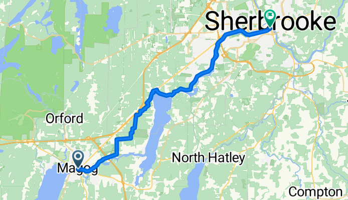
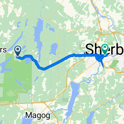
Route template
Magog to Sherbrooke
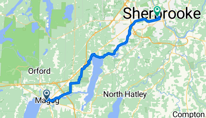
- 1 h 55 min
- Duration
- 33.3 km
- Distance
- 232 m
- Ascent
- 274 m
- Descent
- 17.4 km/h
- Avg. speed
- 251 m
- Max. altitude
Get ready for a scenic cruise from Magog to Sherbrooke! This roughly 33 km ride (give or take a few hills) is a beautiful way to experience the Eastern Townships. Starting from Magog, a charming lakeside town on the northern tip of Lake Memphremagog—perfect for a pre-ride coffee or lakeside stroll—you’ll head north toward Sherbrooke, the region’s lively university city.
The route is a real mixed bag: expect to roll along quiet roads and cycleways for most of the trip, with more than half the way being paved. There are segments with loose gravel and unpaved paths, so wider tires and a spirit of adventure won’t go amiss. You’ll cruise past picturesque countryside, gentle hills, and sweet little hamlets.
Total ascent is pretty manageable—about 230 m up, 270 m down—so there’s enough climbing to keep things interesting without burning you out. At the finish, Sherbrooke awaits with its riverside parks, culture, and bustling cafés. Don’t forget to check out the murals downtown!
Community
Top users in this region

From our community
The best bike routes from Magog to Sherbrooke
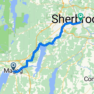
Grandes-fourches Networkm- Massawippi Axis
Cycling route in Magog, Quebec, Canada
- 14.3 km
- Distance
- 68 m
- Ascent
- 76 m
- Descent
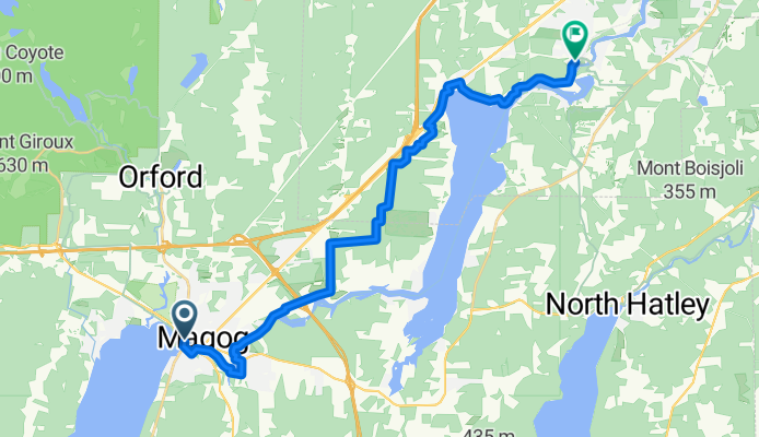


J1 Magog - Sherbrooke
Cycling route in Magog, Quebec, Canada
- 40.1 km
- Distance
- 193 m
- Ascent
- 251 m
- Descent


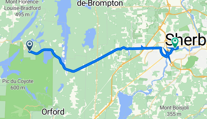
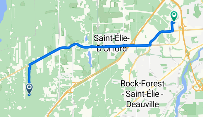
6889 Route 220, Orford à 2965 Rue Hertel, Sherbrooke
Cycling route in Magog, Quebec, Canada
- 26.2 km
- Distance
- 184 m
- Ascent
- 302 m
- Descent
Rue du Griffon to Rue de la Garlock
Cycling route in Magog, Quebec, Canada
- 11.6 km
- Distance
- 130 m
- Ascent
- 113 m
- Descent

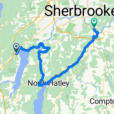
J2-Magog-Ayer's Cliff-Sherbrooke
Cycling route in Magog, Quebec, Canada
- 77.2 km
- Distance
- 1,333 m
- Ascent
- 1,404 m
- Descent
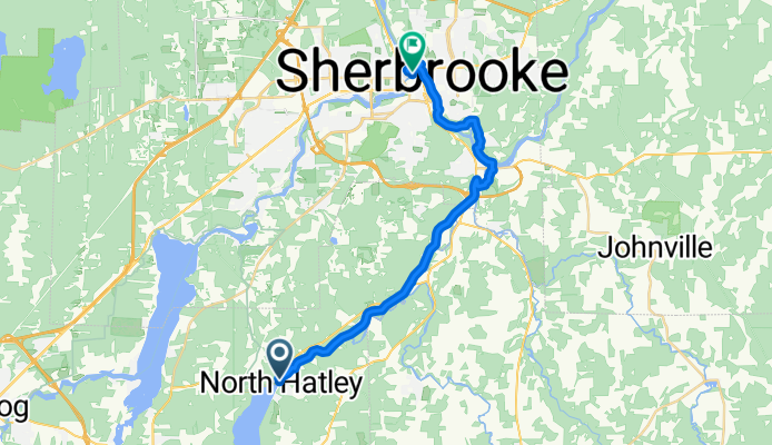
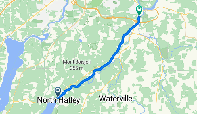
Rue Main, North Hatley to Rue du Palais, Sherbrooke
Cycling route in Magog, Quebec, Canada
- 25.1 km
- Distance
- 168 m
- Ascent
- 162 m
- Descent
Discover more routes
 Deauville - Lennoxville
- Distance
- 39.3 km
- Ascent
- 221 m
- Descent
- 303 m
- Location
- Magog, Quebec, Canada
 Magog to Sherbrooke
- Distance
- 58.1 km
- Ascent
- 919 m
- Descent
- 666 m
- Location
- Magog, Quebec, Canada
 Sherbrooke
- Distance
- 38.4 km
- Ascent
- 243 m
- Descent
- 267 m
- Location
- Magog, Quebec, Canada
 6889 Route 220, Orford à 2965 Rue Hertel, Sherbrooke
- Distance
- 26.2 km
- Ascent
- 184 m
- Descent
- 302 m
- Location
- Magog, Quebec, Canada
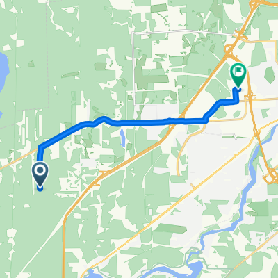 Rue du Griffon to Rue de la Garlock
- Distance
- 11.6 km
- Ascent
- 130 m
- Descent
- 113 m
- Location
- Magog, Quebec, Canada
 Route to Sherbrooke
- Distance
- 32.9 km
- Ascent
- 207 m
- Descent
- 262 m
- Location
- Magog, Quebec, Canada
 J2-Magog-Ayer's Cliff-Sherbrooke
- Distance
- 77.2 km
- Ascent
- 1,333 m
- Descent
- 1,404 m
- Location
- Magog, Quebec, Canada
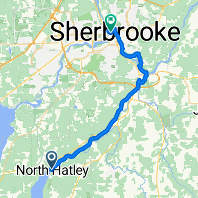 Rue Main, North Hatley to Rue du Palais, Sherbrooke
- Distance
- 25.1 km
- Ascent
- 168 m
- Descent
- 162 m
- Location
- Magog, Quebec, Canada