
Cycling day trip from Sherbrooke to Magog
Customize your own route based on our template or discover how our community prefers to cycle from Sherbrooke to Magog.
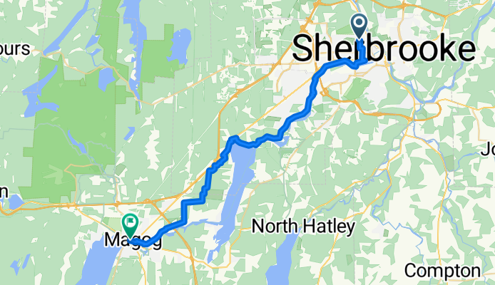
Route template
Sherbrooke to Magog

- 1 h 56 min
- Duration
- 33.3 km
- Distance
- 274 m
- Ascent
- 232 m
- Descent
- 17.3 km/h
- Avg. speed
- 251 m
- Max. altitude
Ready for an adventure from city to lakeside? This ride takes you from Sherbrooke, one of Québec’s vibrant university towns, to the charming riverside destination of Magog, nestled on the shores of Lake Memphrémagog.
The route is about 33 km, making it perfect for a half-day ride. You’ll find a nice mix of about 55% paved surfaces and a good stretch of unpaved or gravel sections, so a hybrid or gravel bike definitely comes in handy. Most of the way meanders along quiet roads and scenic cycleways—ideal for soaking up the lush Eastern Townships scenery.
Expect some rolling hills with a total ascent of 274 meters, enough to get your heart rate up but nothing too drastic. As you pedal closer to Magog, keep an eye out for distant mountain views and the glimmering lake ahead. Once you roll into Magog, treat yourself to a lakeside café or take a stroll along the water.
It’s a great ride for anyone looking to escape the city and unwind by the water!
Community
Top users in this region
From our community
The best bike routes from Sherbrooke to Magog
Principale O, Magog
Cycling route in Sherbrooke, Quebec, Canada
- 33.9 km
- Distance
- 271 m
- Ascent
- 286 m
- Descent
42 Rue Queen, Sherbrooke à 4011 Ch Magog, North Hatley
Cycling route in Sherbrooke, Quebec, Canada
- 14.6 km
- Distance
- 234 m
- Ascent
- 225 m
- Descent


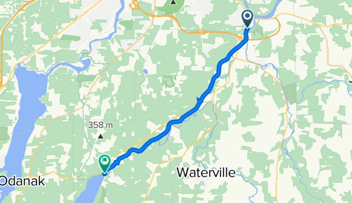
tour du lac massawippi
Cycling route in Sherbrooke, Quebec, Canada
- 60.1 km
- Distance
- 392 m
- Ascent
- 466 m
- Descent

114 Rue Queen, Sherbrooke à 617 Ch Sherbrooke, North Hatley
Cycling route in Sherbrooke, Quebec, Canada
- 15.9 km
- Distance
- 204 m
- Ascent
- 175 m
- Descent


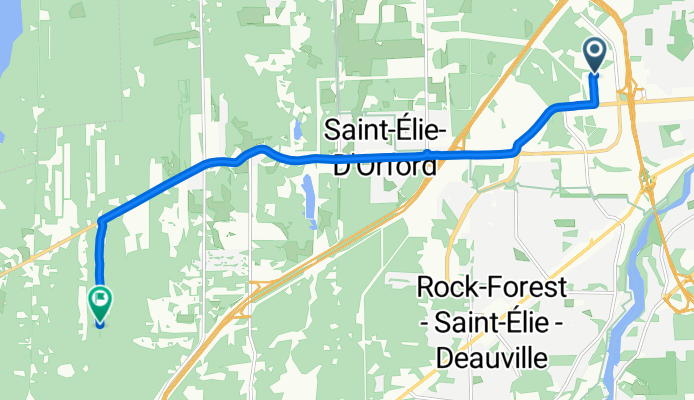
Rue de la Garlock to Rue du Griffon
Cycling route in Sherbrooke, Quebec, Canada
- 11.4 km
- Distance
- 160 m
- Ascent
- 125 m
- Descent

Long bike tour from Sherbrooke to Magog
Cycling route in Sherbrooke, Quebec, Canada
- 31.5 km
- Distance
- 144 m
- Ascent
- 80 m
- Descent

Vers l'école
Cycling route in Sherbrooke, Quebec, Canada
- 31.8 km
- Distance
- 134 m
- Ascent
- 76 m
- Descent

Discover more routes
 114 Rue Queen, Sherbrooke à 617 Ch Sherbrooke, North Hatley
- Distance
- 15.9 km
- Ascent
- 204 m
- Descent
- 175 m
- Location
- Sherbrooke, Quebec, Canada
 North hatley
- Distance
- 5.8 km
- Ascent
- 88 m
- Descent
- 160 m
- Location
- Sherbrooke, Quebec, Canada
 Sherbrooke a Magog
- Distance
- 33.8 km
- Ascent
- 149 m
- Descent
- 133 m
- Location
- Sherbrooke, Quebec, Canada
 J3 Retour Magog
- Distance
- 18.3 km
- Ascent
- 54 m
- Descent
- 64 m
- Location
- Sherbrooke, Quebec, Canada
 Rue de la Garlock to Rue du Griffon
- Distance
- 11.4 km
- Ascent
- 160 m
- Descent
- 125 m
- Location
- Sherbrooke, Quebec, Canada
 Long bike tour from Sherbrooke to Magog
- Distance
- 31.5 km
- Ascent
- 144 m
- Descent
- 80 m
- Location
- Sherbrooke, Quebec, Canada
 Vers l'école
- Distance
- 31.8 km
- Ascent
- 134 m
- Descent
- 76 m
- Location
- Sherbrooke, Quebec, Canada
 jean-jacques
- Distance
- 38.3 km
- Ascent
- 300 m
- Descent
- 289 m
- Location
- Sherbrooke, Quebec, Canada