
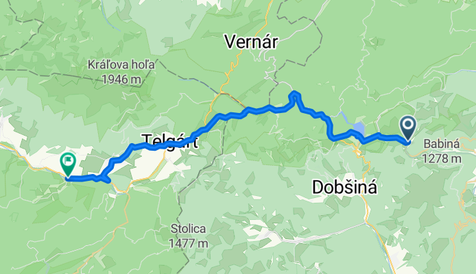
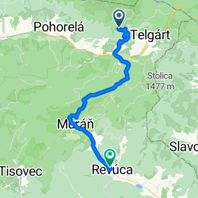
Route template
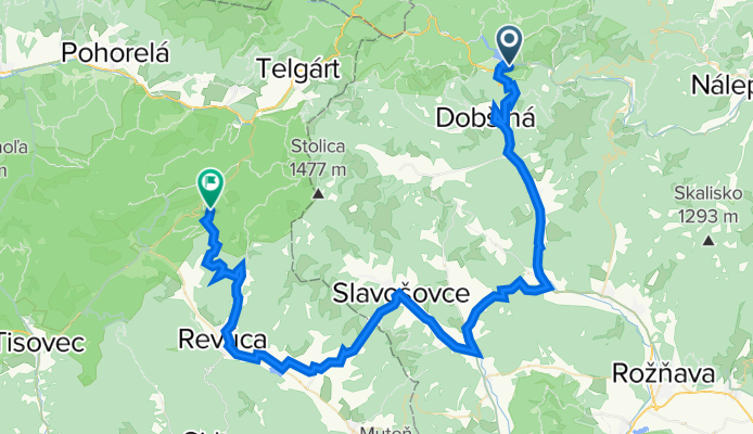
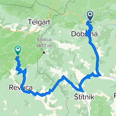
Dobšiná to Revúca
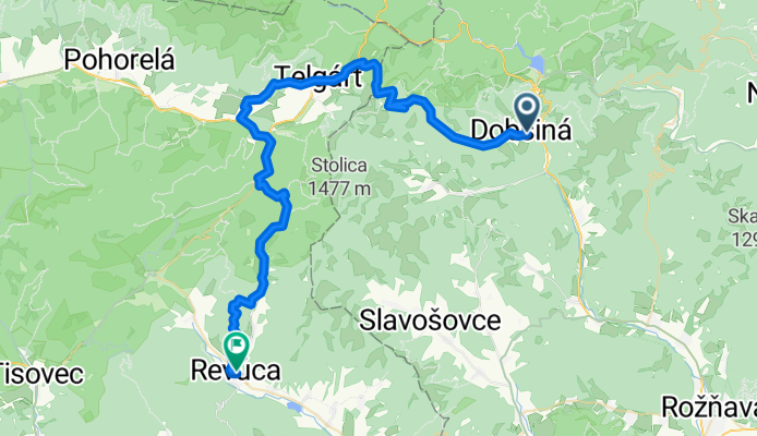
- 4 h 1 min
- Duration
- 53.1 km
- Distance
- 2,013 m
- Ascent
- 2,152 m
- Descent
- 13.2 km/h
- Avg. speed
- 1,183 m
- Max. altitude
This cycling route from Dobšiná to Revúca promises adventure through the stunning hills and forests of central Slovakia. Starting in Dobšiná, a quaint town known as the gateway to the Slovak Paradise National Park (and close to the famous Dobšiná Ice Cave), you’ll begin with a serious climb—over 2,000 meters of ascent in total!
Expect to spend most of your ride on a mix of gravel and unpaved tracks (about 57% missing/unknown surface, and a solid 28% gravel), so a mountain or gravel bike is a smart choice. While only 13% of the ride is on smooth asphalt, what the surfaces lack in smoothness, they make up for with scenic, quiet roads and forest tracks.
As you roll into Revúca 53 km later, you’ll find a relaxed town nestled in the foothills—the perfect reward after nearly 2,200 meters of exhilarating descent. This is a route for riders who love a challenge and want to get off the beaten path into the heart of Slovakia’s wild countryside. Don’t forget snacks, water, and maybe a map—cell service could be spotty in the deeper woods!
Community
Top users in this region


From our community
The best bike routes from Dobšiná to Revúca


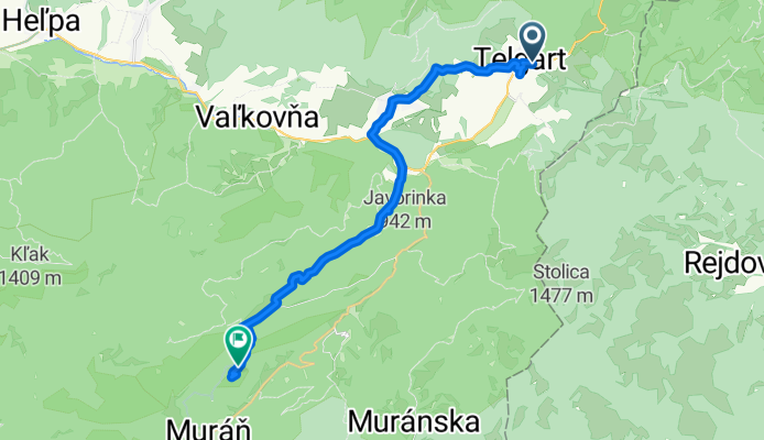
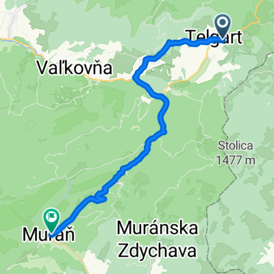
Telgárt, Telgárt až Muráň
Cycling route in Dobšiná, Košice Region, Slovakia
- 21.6 km
- Distance
- 667 m
- Ascent
- 694 m
- Descent


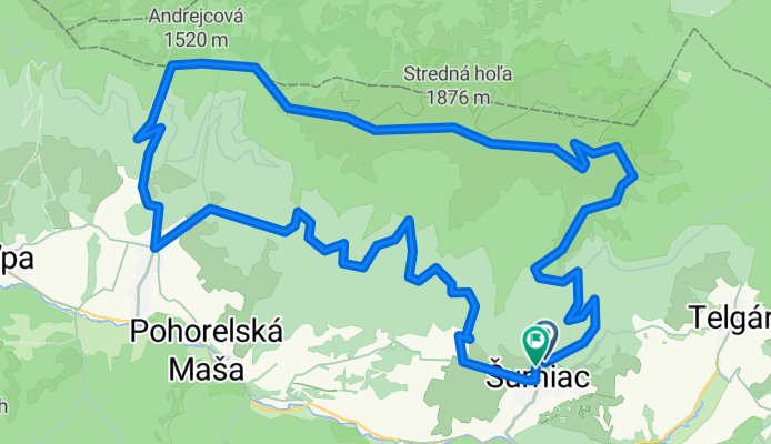
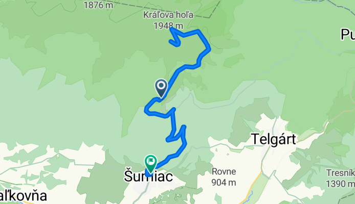
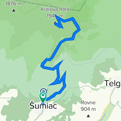
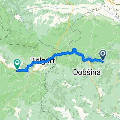
Kráľovohoľská cesta, Šumiac až Kráľovohoľská cesta, Šumiac
Cycling route in Dobšiná, Košice Region, Slovakia
- 24 km
- Distance
- 1,041 m
- Ascent
- 1,096 m
- Descent
Kráľová Hoľa a okolie 1
Cycling route in Dobšiná, Košice Region, Slovakia
- 41.1 km
- Distance
- 1,879 m
- Ascent
- 961 m
- Descent
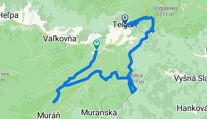
Telgart 900mnm > Stolica 1477mnm > Cervena Skala
Cycling route in Dobšiná, Košice Region, Slovakia
- 50.1 km
- Distance
- 1,112 m
- Ascent
- 1,191 m
- Descent
D&M - Kráľova Holá - Predná Hora
Cycling route in Dobšiná, Košice Region, Slovakia
- 51.7 km
- Distance
- 1,471 m
- Ascent
- 1,461 m
- Descent

Kráľovohoľská cesta 382/39, Šumiac až Kráľovohoľská cesta 405/10, Šumiac
Cycling route in Dobšiná, Košice Region, Slovakia
- 24.6 km
- Distance
- 1,072 m
- Ascent
- 1,091 m
- Descent
Šumiac až Slovenského Národného Povstania, Šumiac
Cycling route in Dobšiná, Košice Region, Slovakia
- 17.5 km
- Distance
- 484 m
- Ascent
- 1,063 m
- Descent
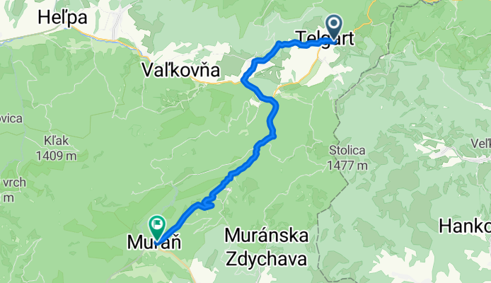
Telgárt do Muráň
Cycling route in Dobšiná, Košice Region, Slovakia
- 23.5 km
- Distance
- 555 m
- Ascent
- 1,044 m
- Descent
Palcmanska Masa - Predna Hora 2023
Cycling route in Dobšiná, Košice Region, Slovakia
- 70.5 km
- Distance
- 1,607 m
- Ascent
- 1,576 m
- Descent
Mlynky --> Dedinky
Cycling route in Dobšiná, Košice Region, Slovakia
- 33.5 km
- Distance
- 605 m
- Ascent
- 623 m
- Descent
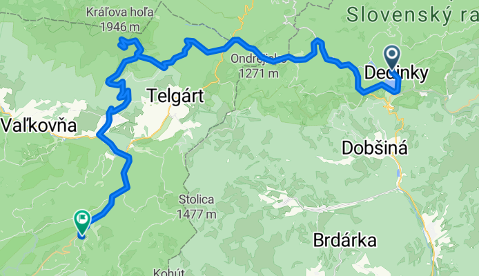
4. etapa Dedinky - Revúca
Cycling route in Dobšiná, Košice Region, Slovakia
- 53.8 km
- Distance
- 591 m
- Ascent
- 1,051 m
- Descent

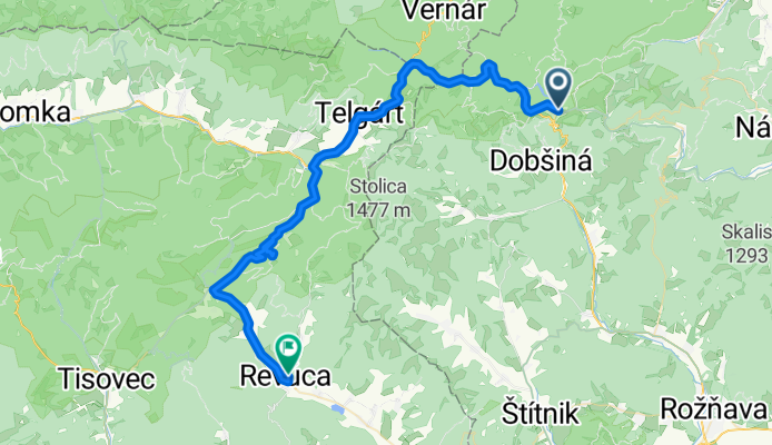
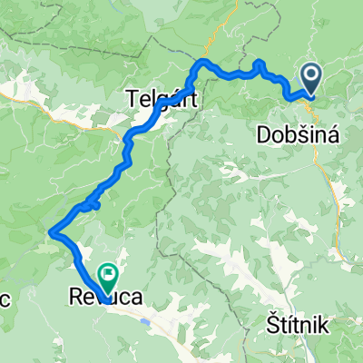
Kráľova Hoľa - Revúca
Cycling route in Dobšiná, Košice Region, Slovakia
- 34.1 km
- Distance
- 211 m
- Ascent
- 1,282 m
- Descent
Discover more routes
 D&M - Kráľova Holá - Predná Hora
- Distance
- 51.7 km
- Ascent
- 1,471 m
- Descent
- 1,461 m
- Location
- Dobšiná, Košice Region, Slovakia
 Kráľovohoľská cesta 382/39, Šumiac až Kráľovohoľská cesta 405/10, Šumiac
- Distance
- 24.6 km
- Ascent
- 1,072 m
- Descent
- 1,091 m
- Location
- Dobšiná, Košice Region, Slovakia
 Šumiac až Slovenského Národného Povstania, Šumiac
- Distance
- 17.5 km
- Ascent
- 484 m
- Descent
- 1,063 m
- Location
- Dobšiná, Košice Region, Slovakia
 Telgárt do Muráň
- Distance
- 23.5 km
- Ascent
- 555 m
- Descent
- 1,044 m
- Location
- Dobšiná, Košice Region, Slovakia
 Palcmanska Masa - Predna Hora 2023
- Distance
- 70.5 km
- Ascent
- 1,607 m
- Descent
- 1,576 m
- Location
- Dobšiná, Košice Region, Slovakia
 Mlynky --> Dedinky
- Distance
- 33.5 km
- Ascent
- 605 m
- Descent
- 623 m
- Location
- Dobšiná, Košice Region, Slovakia
 4. etapa Dedinky - Revúca
- Distance
- 53.8 km
- Ascent
- 591 m
- Descent
- 1,051 m
- Location
- Dobšiná, Košice Region, Slovakia
 Kráľova Hoľa - Revúca
- Distance
- 34.1 km
- Ascent
- 211 m
- Descent
- 1,282 m
- Location
- Dobšiná, Košice Region, Slovakia
Routes from Dobšiná
Cycling day trip from
Dobšiná to Poprad
Cycling day trip from
Dobšiná to Spišská Nová Ves