
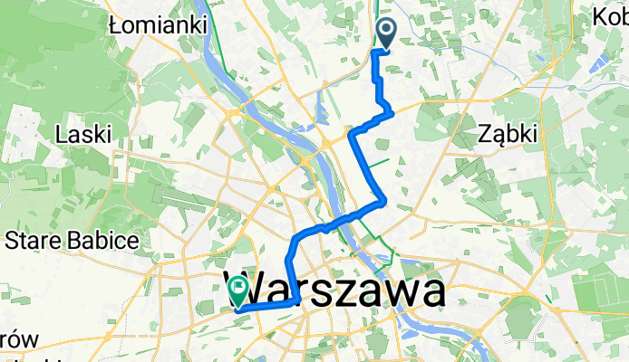
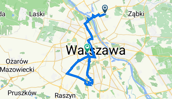
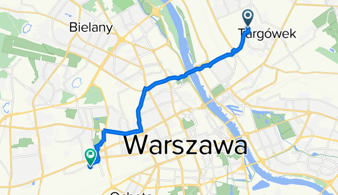
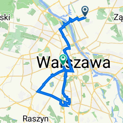
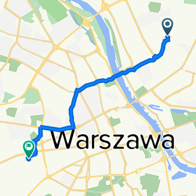
Route template
Targówek to Ochota
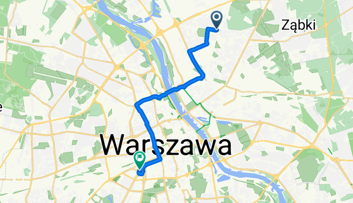
- 51 min
- Duration
- 14 km
- Distance
- 63 m
- Ascent
- 31 m
- Descent
- 16.3 km/h
- Avg. speed
- 123 m
- Max. altitude
This ride takes you from the vibrant district of Targówek, known for its parks and local charm, over to Ochota, a lively neighborhood close to Warsaw’s city center. It’s about 14 kilometers long and stays friendly for most cyclists, with a gentle ascent of just over 60 meters—nothing too strenuous!
You’ll roll mostly on proper cycleways (about 80%!), cruising over a mix of asphalt and classic Warsaw paving stones—so expect that fun “rumble” in a few sections, especially near parks or older streets. The route keeps you off busy roads nearly the whole way, with only brief stretches sharing space with cars.
Ochota greets you with its tree-lined avenues, historic blocks, and easy access to Warsaw’s biggest train stations. Along the way, watch for parks and local bakeries—great for a pit stop. All in all, a pleasant, city-spanning ride connecting two distinct but equally authentic Warsaw districts!
Community
Top users in this region


From our community
The best bike routes from Targówek to Ochota
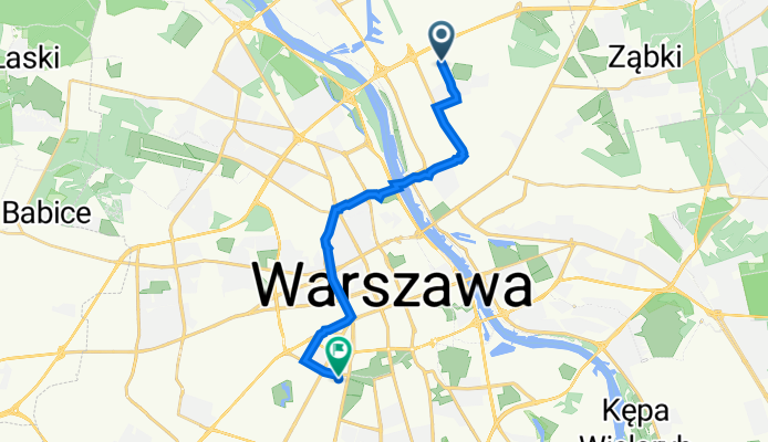
Ludwika Kondratowicza 2, Warszawa do Stefana Banacha 1C, Warszawa
Cycling route in Targówek, Masovian Voivodeship, Poland
- 15.6 km
- Distance
- 204 m
- Ascent
- 167 m
- Descent
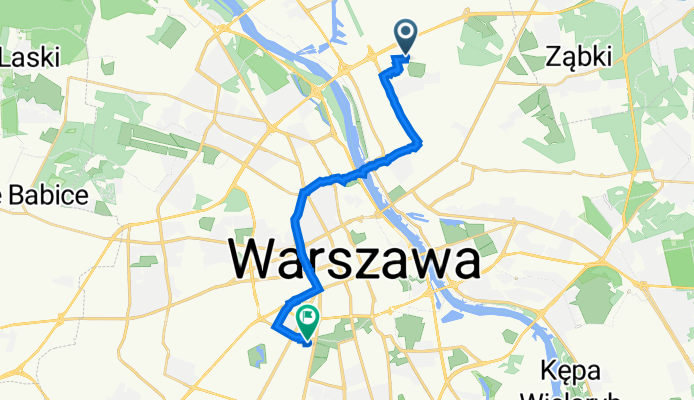
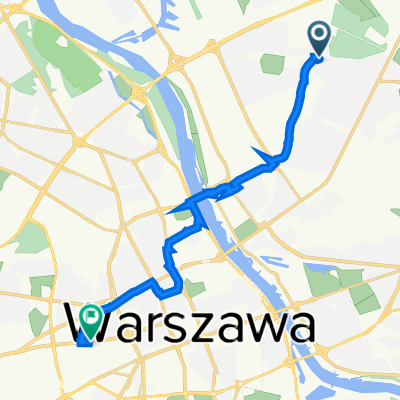
Łabiszyńska 17, Warszawa do Stefana Banacha 1C, Warszawa
Cycling route in Targówek, Masovian Voivodeship, Poland
- 16.1 km
- Distance
- 84 m
- Ascent
- 48 m
- Descent
Warzelnicza, Warszawa do Wolska, Warszawa
Cycling route in Targówek, Masovian Voivodeship, Poland
- 21.2 km
- Distance
- 88 m
- Ascent
- 53 m
- Descent
W Majewskiej, Warszawa do Gizów, Warszawa
Cycling route in Targówek, Masovian Voivodeship, Poland
- 19.3 km
- Distance
- 45 m
- Ascent
- 13 m
- Descent
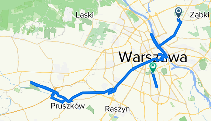
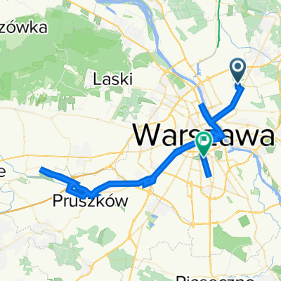
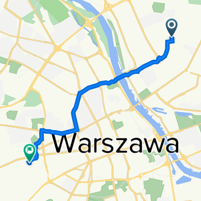
Korzystna 9, Targówek do Aleja Niepodległości, Warszawa
Cycling route in Targówek, Masovian Voivodeship, Poland
- 79 km
- Distance
- 656 m
- Ascent
- 625 m
- Descent
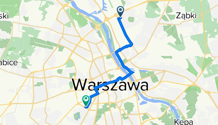
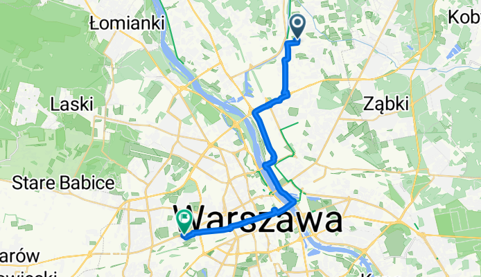
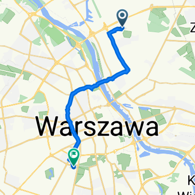
Recovered Route
Cycling route in Targówek, Masovian Voivodeship, Poland
- 14.6 km
- Distance
- 60 m
- Ascent
- 29 m
- Descent
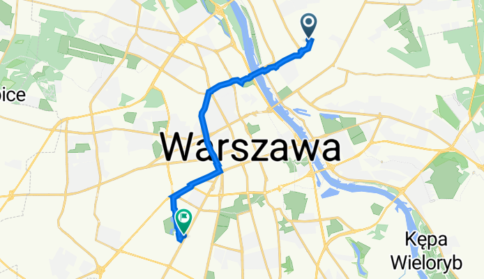
Cmentarna, Warszawa do Włodarzewska 3/5, Warszawa
Cycling route in Targówek, Masovian Voivodeship, Poland
- 13.2 km
- Distance
- 47 m
- Ascent
- 22 m
- Descent
Łabiszyńska 17, Warszawa do Rondo Ignacego Daszyńskiego 2, Warszawa
Cycling route in Targówek, Masovian Voivodeship, Poland
- 34.9 km
- Distance
- 351 m
- Ascent
- 320 m
- Descent
Łabiszyńska 17, Warszawa do Stefana Banacha 1C, Warszawa
Cycling route in Targówek, Masovian Voivodeship, Poland
- 14.5 km
- Distance
- 114 m
- Ascent
- 88 m
- Descent
Kolonijna 5, Warszawa do Jana Kazimierza 17, Warszawa
Cycling route in Targówek, Masovian Voivodeship, Poland
- 11.5 km
- Distance
- 61 m
- Ascent
- 30 m
- Descent
Porannej Bryzy 45, Warszawa do Marcina Kasprzaka 19/21, Warszawa
Cycling route in Targówek, Masovian Voivodeship, Poland
- 13.7 km
- Distance
- 98 m
- Ascent
- 70 m
- Descent
Kolonijna 5, Warszawa do Jana Kazimierza 21A, Warszawa
Cycling route in Targówek, Masovian Voivodeship, Poland
- 11.8 km
- Distance
- 67 m
- Ascent
- 35 m
- Descent
Discover more routes
 Korzystna 9, Targówek do Aleja Niepodległości, Warszawa
- Distance
- 79 km
- Ascent
- 656 m
- Descent
- 625 m
- Location
- Targówek, Masovian Voivodeship, Poland
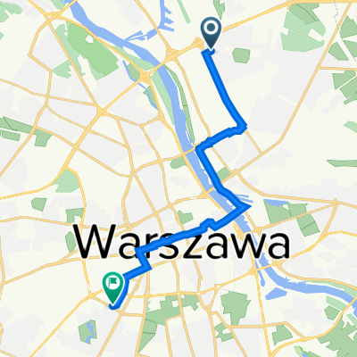 Recovered Route
- Distance
- 14.6 km
- Ascent
- 60 m
- Descent
- 29 m
- Location
- Targówek, Masovian Voivodeship, Poland
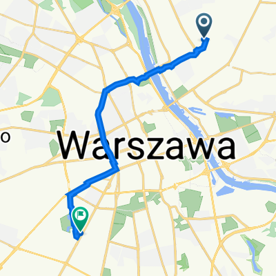 Cmentarna, Warszawa do Włodarzewska 3/5, Warszawa
- Distance
- 13.2 km
- Ascent
- 47 m
- Descent
- 22 m
- Location
- Targówek, Masovian Voivodeship, Poland
 Łabiszyńska 17, Warszawa do Rondo Ignacego Daszyńskiego 2, Warszawa
- Distance
- 34.9 km
- Ascent
- 351 m
- Descent
- 320 m
- Location
- Targówek, Masovian Voivodeship, Poland
 Łabiszyńska 17, Warszawa do Stefana Banacha 1C, Warszawa
- Distance
- 14.5 km
- Ascent
- 114 m
- Descent
- 88 m
- Location
- Targówek, Masovian Voivodeship, Poland
 Kolonijna 5, Warszawa do Jana Kazimierza 17, Warszawa
- Distance
- 11.5 km
- Ascent
- 61 m
- Descent
- 30 m
- Location
- Targówek, Masovian Voivodeship, Poland
 Porannej Bryzy 45, Warszawa do Marcina Kasprzaka 19/21, Warszawa
- Distance
- 13.7 km
- Ascent
- 98 m
- Descent
- 70 m
- Location
- Targówek, Masovian Voivodeship, Poland
 Kolonijna 5, Warszawa do Jana Kazimierza 21A, Warszawa
- Distance
- 11.8 km
- Ascent
- 67 m
- Descent
- 35 m
- Location
- Targówek, Masovian Voivodeship, Poland
Routes from Targówek
Cycling day trip from
Targówek to Legionowo
Quick ride by bicycle from
Targówek to Praga Północ
Quick ride by bicycle from
Targówek to Marki
Routes to Ochota
Quick ride by bicycle from
Śródmieście to Ochota
Quick ride by bicycle from
Warsaw to Ochota