Premium Badge Download on the App Store Get it on Google Play Turn-by-turn Navigation Offline Maps Bike Type Optimized Routing Premium Maps Custom Bike Computer Export Routes Route Previews Fall Detection Premium Support

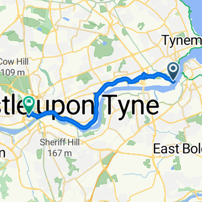
Cycling Route in South Shields, England, United Kingdom

Muur van Hadrianus 90

0
Open this route in the Bikemap app

Open this route in the Bikemap app

Open this route in Bikemap Web

Open this route in Bikemap Web

89 km
Distance
1428 m
Ascent
1428 m
Descent
-:-- h
Duration
-- km/h
Avg. Speed
254 m
Max. Elevation

About This Route

De muur van Hadrianus was de muur die de grens van het Romeinse Rijk vormde in Groot-Brittannië. Tegenwoordig bestaan er nog slechts enkele restanten van die imposante muur en zijn forten, die gedurende deze mottorrit allemaal bezocht zullen worden. De rit loopt van het meest oostelijke fort Arbeia in het huidige South Shields tot het meest westelijke fort Maia in het huidige Bowness-on-Solway en passeert tussendoor langs blikvangers als Vindolanda, Vindobala, Birdoswald,... en nog een hele hoop andere pareltjes die ervoor zullen zorgen dat dit een onvergetelijke rit wordt!

Customize this cycling route with the Bikemap route planner.

Make it yours!

Did you know? You can use this route as a template in our cycling route planner if you don't wish to start from scratch. Customize it based on your needs to plan your perfect cycling tour.

Open it in the app