

Westerzgebirgische Gipfeltour
A cycling route starting in Adorf, Saxony, Germany.
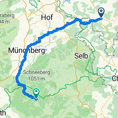
Overview
About this route
Tour unter Einbeziehung der höchsten und schwersten Berge des Westerzgebirges inklusive der tschechischen Seite.
-Aschberg, Auersberg, Fichtelberg, Keilberg (Klinovec) und Plattenberg (Blatensky Vrch)-
-Grosse Streckenabschnitte auf öffentlichen Strassen
-Auf Grund des Höhenprofils nur für gut trainierte Radler zu empfehlen.
- -:--
- Duration
- 155.4 km
- Distance
- 1,914 m
- Ascent
- 1,914 m
- Descent
- ---
- Avg. speed
- ---
- Avg. speed
Route quality
Waytypes & surfaces along the route
Waytypes
Busy road
44.6 km
(29 %)
Road
38.7 km
(25 %)
Surfaces
Paved
99.4 km
(64 %)
Unpaved
23.9 km
(15 %)
Asphalt
97.5 km
(63 %)
Gravel
17.8 km
(11 %)
Continue with Bikemap
Use, edit, or download this cycling route
You would like to ride Westerzgebirgische Gipfeltour or customize it for your own trip? Here is what you can do with this Bikemap route:
Free features
- Save this route as favorite or in collections
- Copy & plan your own version of this route
- Sync your route with Garmin or Wahoo
Premium features
Free trial for 3 days, or one-time payment. More about Bikemap Premium.
- Navigate this route on iOS & Android
- Export a GPX / KML file of this route
- Create your custom printout (try it for free)
- Download this route for offline navigation
Discover more Premium features.
Get Bikemap PremiumFrom our community
Other popular routes starting in Adorf
 Rundfahrt zu den vier böhmisch-vogtländischen Bismarcktürmen
- Distance
- 154.5 km
- Ascent
- 1,003 m
- Descent
- 1,003 m
- Location
- Adorf, Saxony, Germany
 Reise zum Mittelpunkt Europas
- Distance
- 125.7 km
- Ascent
- 1,136 m
- Descent
- 1,148 m
- Location
- Adorf, Saxony, Germany
 Tag 4
Tag 4- Distance
- 75.2 km
- Ascent
- 1,298 m
- Descent
- 1,123 m
- Location
- Adorf, Saxony, Germany
 Kammweg (Alternative) bei Leubetha
- Distance
- 0.9 km
- Ascent
- 48 m
- Descent
- 0 m
- Location
- Adorf, Saxony, Germany
 Adorf - Kösseine
- Distance
- 81.8 km
- Ascent
- 911 m
- Descent
- 565 m
- Location
- Adorf, Saxony, Germany
 Adorf - Keilberg - Adorf
- Distance
- 136.7 km
- Ascent
- 1,628 m
- Descent
- 1,629 m
- Location
- Adorf, Saxony, Germany
 6 auf einen Streich - (Große vogtl.-böhm. Bädertour)
- Distance
- 216.6 km
- Ascent
- 1,171 m
- Descent
- 1,173 m
- Location
- Adorf, Saxony, Germany
 Adorf - "Sechser"
- Distance
- 24.8 km
- Ascent
- 535 m
- Descent
- 536 m
- Location
- Adorf, Saxony, Germany
Open it in the app