

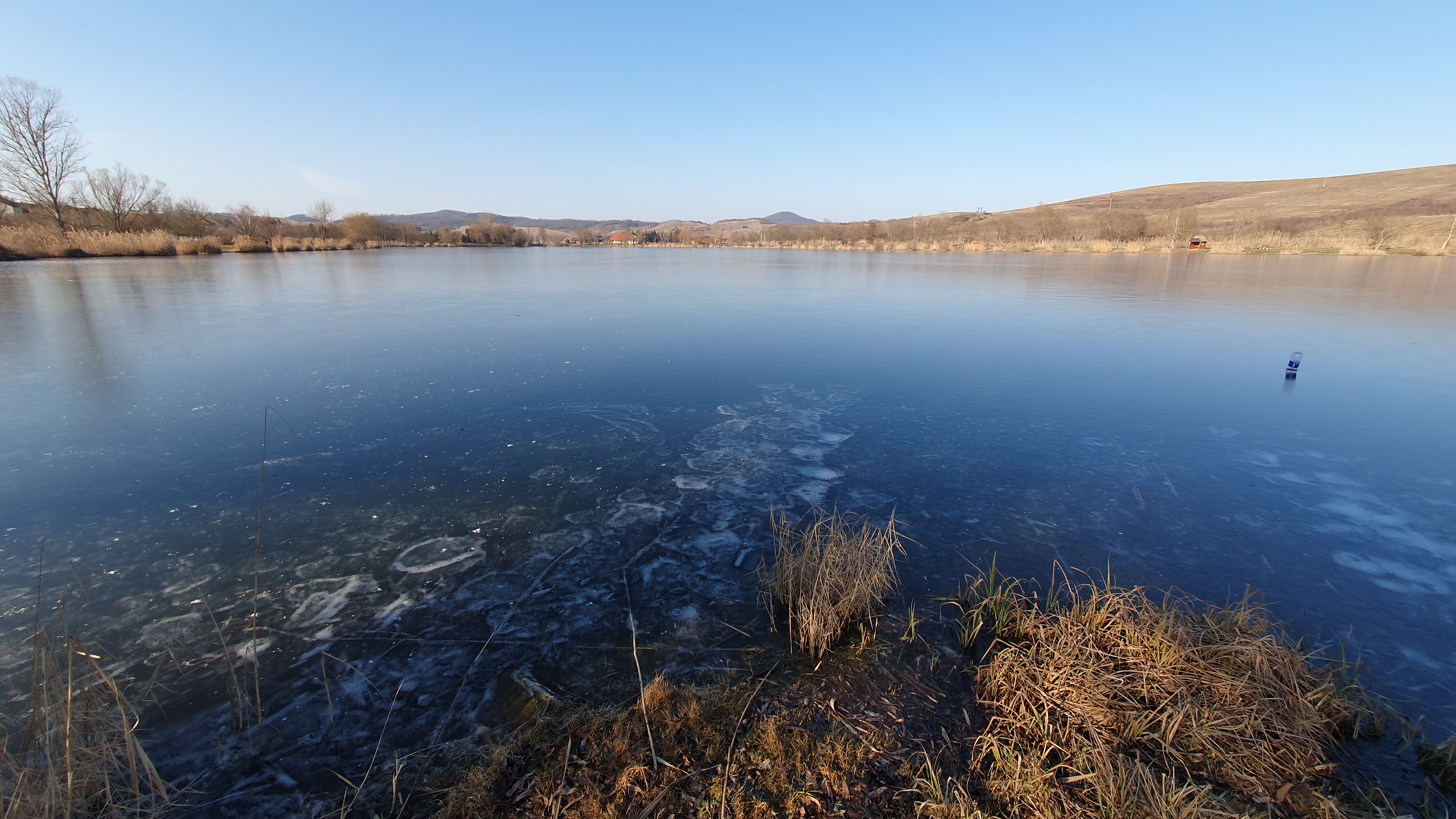
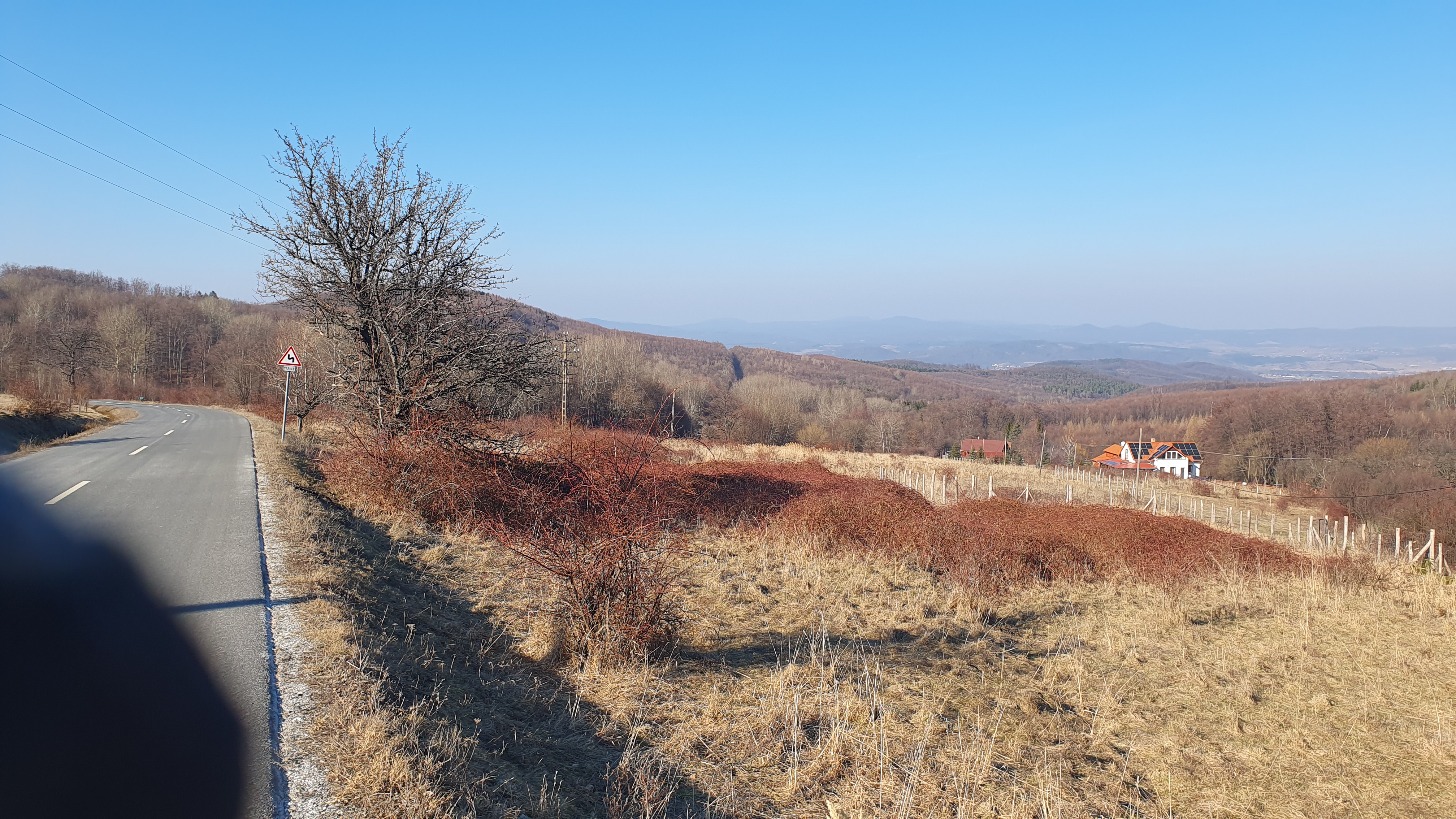
Szuha-Galyatető
A cycling route starting in Mátraterenye, Nógrád megye, Hungary.
Overview
About this route
- -:--
- Duration
- 16.1 km
- Distance
- 689 m
- Ascent
- 28 m
- Descent
- ---
- Avg. speed
- 917 m
- Avg. speed
Route quality
Waytypes & surfaces along the route
Waytypes
Road
7.5 km
(47 %)
Quiet road
5 km
(31 %)
Surfaces
Paved
12.5 km
(78 %)
Asphalt
12.5 km
(78 %)
Undefined
3.6 km
(22 %)
Continue with Bikemap
Use, edit, or download this cycling route
You would like to ride Szuha-Galyatető or customize it for your own trip? Here is what you can do with this Bikemap route:
Free features
- Save this route as favorite or in collections
- Copy & plan your own version of this route
- Sync your route with Garmin or Wahoo
Premium features
Free trial for 3 days, or one-time payment. More about Bikemap Premium.
- Navigate this route on iOS & Android
- Export a GPX / KML file of this route
- Create your custom printout (try it for free)
- Download this route for offline navigation
Discover more Premium features.
Get Bikemap PremiumFrom our community
Other popular routes starting in Mátraterenye
 Fenyves út 11., Nemti to Kossuth út 326., Nádújfalu
- Distance
- 5.3 km
- Ascent
- 17 m
- Descent
- 23 m
- Location
- Mátraterenye, Nógrád megye, Hungary
 Magyarország Hegyei 7. szakasz
- Distance
- 71.5 km
- Ascent
- 1,289 m
- Descent
- 1,353 m
- Location
- Mátraterenye, Nógrád megye, Hungary
 Galyatető túra
- Distance
- 17 km
- Ascent
- 754 m
- Descent
- 59 m
- Location
- Mátraterenye, Nógrád megye, Hungary
 Nyár 4
- Distance
- 135.2 km
- Ascent
- 792 m
- Descent
- 712 m
- Location
- Mátraterenye, Nógrád megye, Hungary
 Újfalusi kör
- Distance
- 34.3 km
- Ascent
- 189 m
- Descent
- 188 m
- Location
- Mátraterenye, Nógrád megye, Hungary
 Jeges még az erdei út Mátraalmás felett
- Distance
- 28.3 km
- Ascent
- 523 m
- Descent
- 512 m
- Location
- Mátraterenye, Nógrád megye, Hungary
 Szuha-Galyatető
- Distance
- 16.1 km
- Ascent
- 689 m
- Descent
- 28 m
- Location
- Mátraterenye, Nógrád megye, Hungary
Open it in the app