

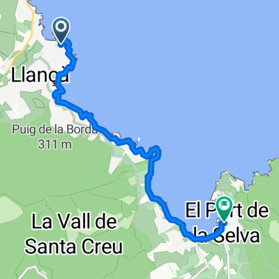
Etappe 4: Llança-Beziers
A cycling route starting in Llançà, Catalonia, Spain.
Overview
About this route
In de vierde etappe van de Ronde van Frankrijk zal de wind een grote rol gaan spelen. De gehele dag wordt er gekoerst langs de Middellandse Zee, en daar wil de wind nog wel eens raar van achter komen, denk maar eens terug aan de etappes naar La Grande Motte (2008) en Frontignan (2012). De laatste kilometers naar Bezièrs gaan ook nog eens heuvelop, waar renners als Degenkolb, Matthews en Ventoso zich zullen laten zien.
- -:--
- Duration
- 201 km
- Distance
- 574 m
- Ascent
- 502 m
- Descent
- ---
- Avg. speed
- ---
- Avg. speed
Continue with Bikemap
Use, edit, or download this cycling route
You would like to ride Etappe 4: Llança-Beziers or customize it for your own trip? Here is what you can do with this Bikemap route:
Free features
- Save this route as favorite or in collections
- Copy & plan your own version of this route
- Sync your route with Garmin or Wahoo
Premium features
Free trial for 3 days, or one-time payment. More about Bikemap Premium.
- Navigate this route on iOS & Android
- Export a GPX / KML file of this route
- Create your custom printout (try it for free)
- Download this route for offline navigation
Discover more Premium features.
Get Bikemap PremiumFrom our community
Other popular routes starting in Llançà
 transpirenaica 2005
- Distance
- 815.4 km
- Ascent
- 6,623 m
- Descent
- 6,620 m
- Location
- Llançà, Catalonia, Spain
 volta llança-banyuls-llança
- Distance
- 66.6 km
- Ascent
- 854 m
- Descent
- 854 m
- Location
- Llançà, Catalonia, Spain
 Transpyrenees 2020
- Distance
- 785.5 km
- Ascent
- 28,587 m
- Descent
- 28,597 m
- Location
- Llançà, Catalonia, Spain
 Day 1. 2nd stretch. Port de la Selva - Llançà
- Distance
- 8.6 km
- Ascent
- 78 m
- Descent
- 84 m
- Location
- Llançà, Catalonia, Spain
 Port de la Selva, Cala Taballera, Cadaqués
- Distance
- 39.8 km
- Ascent
- 859 m
- Descent
- 859 m
- Location
- Llançà, Catalonia, Spain
 GR92_2. Tag 13.05.19
- Distance
- 20.2 km
- Ascent
- 429 m
- Descent
- 431 m
- Location
- Llançà, Catalonia, Spain
 Transpirenaica.Etapa1.Llança-Albanya
- Distance
- 62.5 km
- Ascent
- 1,173 m
- Descent
- 986 m
- Location
- Llançà, Catalonia, Spain
 Milloret del cap de creus (cadaqués
- Distance
- 78.9 km
- Ascent
- 1,259 m
- Descent
- 1,250 m
- Location
- Llançà, Catalonia, Spain
Open it in the app