

Schierstein - Nierstein Runde
A cycling route starting in Budenheim, Rhineland-Palatinate, Germany.
Overview
About this route
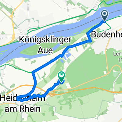
Start unter der Schiersteiner Brücke, vorbei an der Coface Arena über Marienborn, essenheim Gau-Bischofheim (Amiche-Radweg), Fähre Nierstein, Trebur, Gustavsburg, Kostheim, Biebrich zurück
- -:--
- Duration
- 76.6 km
- Distance
- 209 m
- Ascent
- 211 m
- Descent
- ---
- Avg. speed
- ---
- Avg. speed
Route quality
Waytypes & surfaces along the route
Waytypes
Track
21.1 km
(28 %)
Path
17 km
(22 %)
Surfaces
Paved
64.3 km
(84 %)
Unpaved
4.6 km
(6 %)
Asphalt
55.6 km
(73 %)
Paving stones
4.9 km
(6 %)
Continue with Bikemap
Use, edit, or download this cycling route
You would like to ride Schierstein - Nierstein Runde or customize it for your own trip? Here is what you can do with this Bikemap route:
Free features
- Save this route as favorite or in collections
- Copy & plan your own version of this route
- Sync your route with Garmin or Wahoo
Premium features
Free trial for 3 days, or one-time payment. More about Bikemap Premium.
- Navigate this route on iOS & Android
- Export a GPX / KML file of this route
- Create your custom printout (try it for free)
- Download this route for offline navigation
Discover more Premium features.
Get Bikemap PremiumFrom our community
Other popular routes starting in Budenheim
 Nach Bingen ans Rhein-Nahe-Eck 2022 - 48 km Permanente des RV Edelweiß 1910 Budenheim e.V.
- Distance
- 50.9 km
- Ascent
- 122 m
- Descent
- 122 m
- Location
- Budenheim, Rhineland-Palatinate, Germany
 Rund um den Obst- u. Blütengarten Rheinhessen - RTF des RV Edelweiß 1910 Budenheim e.V. - 43 km Strecke
- Distance
- 42.2 km
- Ascent
- 168 m
- Descent
- 165 m
- Location
- Budenheim, Rhineland-Palatinate, Germany
 Mainz-Ebersheim-Bodenheim-Mainz
- Distance
- 34.2 km
- Ascent
- 228 m
- Descent
- 227 m
- Location
- Budenheim, Rhineland-Palatinate, Germany
 Crossradrunde durch Rheinhessen
- Distance
- 72.8 km
- Ascent
- 616 m
- Descent
- 565 m
- Location
- Budenheim, Rhineland-Palatinate, Germany
 RR-Tour durch Rheinhessen
- Distance
- 65.6 km
- Ascent
- 456 m
- Descent
- 456 m
- Location
- Budenheim, Rhineland-Palatinate, Germany
 Rheinstraße, Budenheim nach Lennebergstraße, Ingelheim am Rhein
- Distance
- 9.7 km
- Ascent
- 67 m
- Descent
- 49 m
- Location
- Budenheim, Rhineland-Palatinate, Germany
 Friedrichsstraße 50, Mainz nach Friedrichsstraße 50, Mainz
- Distance
- 17.3 km
- Ascent
- 43 m
- Descent
- 129 m
- Location
- Budenheim, Rhineland-Palatinate, Germany
 Rund Wiesbaden I
- Distance
- 54.7 km
- Ascent
- 620 m
- Descent
- 622 m
- Location
- Budenheim, Rhineland-Palatinate, Germany
Open it in the app