
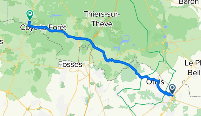
Chemin Communal, Dammartin-en-Goële à 37 Avenue de la Libération, Lamorlaye
A cycling route starting in Dammartin-en-Goële, Île-de-France Region, France.
Overview
About this route
- 1 h 31 min
- Duration
- 24.7 km
- Distance
- 126 m
- Ascent
- 206 m
- Descent
- 16.3 km/h
- Avg. speed
- 121 m
- Avg. speed

Route quality
Waytypes & surfaces along the route
Waytypes
Busy road
10.9 km
(44 %)
Quiet road
7.1 km
(29 %)
Surfaces
Paved
4.4 km
(18 %)
Unpaved
0.6 km
(2 %)
Asphalt
4.4 km
(18 %)
Loose gravel
0.6 km
(2 %)
Undefined
19.8 km
(80 %)
Continue with Bikemap
Use, edit, or download this cycling route
You would like to ride Chemin Communal, Dammartin-en-Goële à 37 Avenue de la Libération, Lamorlaye or customize it for your own trip? Here is what you can do with this Bikemap route:
Free features
- Save this route as favorite or in collections
- Copy & plan your own version of this route
- Sync your route with Garmin or Wahoo
Premium features
Free trial for 3 days, or one-time payment. More about Bikemap Premium.
- Navigate this route on iOS & Android
- Export a GPX / KML file of this route
- Create your custom printout (try it for free)
- Download this route for offline navigation
Discover more Premium features.
Get Bikemap PremiumFrom our community
Other popular routes starting in Dammartin-en-Goële
 De 10 Allée Messire Jean, Dammartin-en-Goële à 13 Allée Messire Jean, Dammartin-en-Goële
- Distance
- 30.3 km
- Ascent
- 344 m
- Descent
- 342 m
- Location
- Dammartin-en-Goële, Île-de-France Region, France
 De Avenue de Montmorency 41, Dammartin-en-Goële à Rue de la Marne 25, Vitry-sur-Seine
- Distance
- 55.6 km
- Ascent
- 472 m
- Descent
- 567 m
- Location
- Dammartin-en-Goële, Île-de-France Region, France
 Pour Claye Souilly
- Distance
- 20.9 km
- Ascent
- 32 m
- Descent
- 147 m
- Location
- Dammartin-en-Goële, Île-de-France Region, France
 Num 20
- Distance
- 76 km
- Ascent
- 312 m
- Descent
- 379 m
- Location
- Dammartin-en-Goële, Île-de-France Region, France
 7 Avenue Jean Jaurès, Dammartin-en-Goële à Route de Nanteuil, Senlis
- Distance
- 21.7 km
- Ascent
- 95 m
- Descent
- 157 m
- Location
- Dammartin-en-Goële, Île-de-France Region, France
 De Dammartin en Goële à Fontainebleau
- Distance
- 89.2 km
- Ascent
- 806 m
- Descent
- 857 m
- Location
- Dammartin-en-Goële, Île-de-France Region, France
 De Rue Léonard de Vinci 41, Dammartin-en-Goële à Rue Alfred de Musset 5, Savigny-sur-Orge
- Distance
- 64 km
- Ascent
- 495 m
- Descent
- 541 m
- Location
- Dammartin-en-Goële, Île-de-France Region, France
 N°27
N°27- Distance
- 77.4 km
- Ascent
- 333 m
- Descent
- 333 m
- Location
- Dammartin-en-Goële, Île-de-France Region, France
Open it in the app