Premium Badge Download on the App Store Get it on Google Play Turn-by-turn Navigation Offline Maps Bike Type Optimized Routing Premium Maps Custom Bike Computer Export Routes Route Previews Fall Detection Premium Support

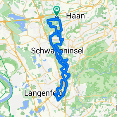
Cycling Route in Haan, North Rhine-Westphalia, Germany

Ohligs-Burg-Vohwinkel-Haan-Hochdahl-Hilden-Ohligs

0
Open this route in the Bikemap app

Open this route in the Bikemap app

Open this route in Bikemap Web

Open this route in Bikemap Web

63 km
Distance
558 m
Ascent
558 m
Descent
-:-- h
Duration
-- km/h
Avg. Speed
--- m
Max. Elevation

About This Route

Strecke ist zur 3/4 auf der Straße, nur das Stück zwischen Burg und Müngsten hat einige Waldstücke. Nach Belieben kann man bei Müngsten auch einige Trails im Wald einbauen.

This cycling route is ideal for: MTB

You will cycle on the following surfaces: Paved Unpaved Gravel

Customize this cycling route with the Bikemap route planner.

Make it yours!

Did you know? You can use this route as a template in our cycling route planner if you don't wish to start from scratch. Customize it based on your needs to plan your perfect cycling tour.

Open it in the app