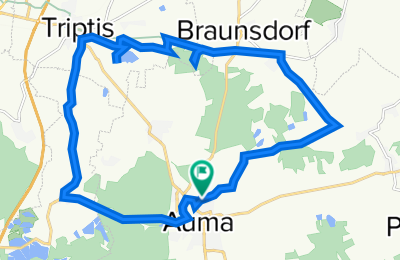
Cycling Route in Auma, Free State of Thuringia, Germany
Straße des Friedens 19, Auma-Weidatal nach Straße des Friedens 28, Auma-Weidatal
1
Open this route in the Bikemap app

Open this route in Bikemap Web
19
km
Distance
Distance
470
m
Ascent
Ascent
474
m
Descent
Descent
2:13
h
Duration
Duration
8.8
km/h
Avg. Speed
Avg. Speed
464
m
Max. Elevation
Max. Elevation

