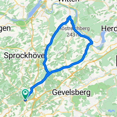
Cycling Route in Sprockhövel, North Rhine-Westphalia, Germany
24 km - Sprockhövel-Schulenburgwald
1

Open this route in the Bikemap app

Open this route in Bikemap Web
25
km
Distance
Distance
442
m
Ascent
Ascent
447
m
Descent
Descent
-:--
h
Duration
Duration
--
km/h
Avg. Speed
Avg. Speed
---
m
Max. Elevation
Max. Elevation