
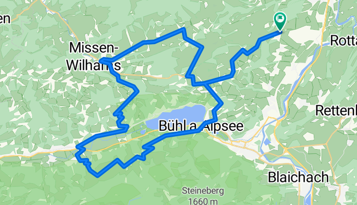
Eckarts>Akams>Knottenried>Diepoltz>Missen>Pfarralpe>Ratholz>Konstanzer>Bärenfalle>Stadtwald>Bühl>Zaumberg>Akams>Eckarts
A cycling route starting in Rettenberg, Bavaria, Germany.
Overview
About this route
- -:--
- Duration
- 45.5 km
- Distance
- 1,077 m
- Ascent
- 1,077 m
- Descent
- ---
- Avg. speed
- ---
- Avg. speed
Route quality
Waytypes & surfaces along the route
Waytypes
Quiet road
15.2 km
(33 %)
Access road
13 km
(28 %)
Surfaces
Paved
34.7 km
(76 %)
Unpaved
5.1 km
(11 %)
Asphalt
29.3 km
(64 %)
Paved (undefined)
5.4 km
(12 %)
Continue with Bikemap
Use, edit, or download this cycling route
You would like to ride Eckarts>Akams>Knottenried>Diepoltz>Missen>Pfarralpe>Ratholz>Konstanzer>Bärenfalle>Stadtwald>Bühl>Zaumberg>Akams>Eckarts or customize it for your own trip? Here is what you can do with this Bikemap route:
Free features
- Save this route as favorite or in collections
- Copy & plan your own version of this route
- Sync your route with Garmin or Wahoo
Premium features
Free trial for 3 days, or one-time payment. More about Bikemap Premium.
- Navigate this route on iOS & Android
- Export a GPX / KML file of this route
- Create your custom printout (try it for free)
- Download this route for offline navigation
Discover more Premium features.
Get Bikemap PremiumFrom our community
Other popular routes starting in Rettenberg
 Königsträsschen - Schnitzleralpe/Wertacher Hörnle
- Distance
- 35.2 km
- Ascent
- 806 m
- Descent
- 806 m
- Location
- Rettenberg, Bavaria, Germany
 Bodensee-Runde über Rohrmoos/Sibratsgfäll
- Distance
- 149.2 km
- Ascent
- 1,344 m
- Descent
- 1,344 m
- Location
- Rettenberg, Bavaria, Germany
 Grüntenhütte und rund Spieser
- Distance
- 49.2 km
- Ascent
- 1,891 m
- Descent
- 1,891 m
- Location
- Rettenberg, Bavaria, Germany
 Radstrecke Heuberg, Martinszell, Oberdorf
- Distance
- 4.3 km
- Ascent
- 85 m
- Descent
- 34 m
- Location
- Rettenberg, Bavaria, Germany
 2013-14 Altmühltal - Ammersee - Allgäu Eckarts - Hergatz
- Distance
- 59.5 km
- Ascent
- 364 m
- Descent
- 534 m
- Location
- Rettenberg, Bavaria, Germany
 Rettenberg-Memmingen-Donaustetten
- Distance
- 116.9 km
- Ascent
- 265 m
- Descent
- 590 m
- Location
- Rettenberg, Bavaria, Germany
 Feierabendrunde (Nebenstraßen)
- Distance
- 75.6 km
- Ascent
- 584 m
- Descent
- 584 m
- Location
- Rettenberg, Bavaria, Germany
 Freidorf->Kranzegg->Königssträssle->Rossberghütte->Burgberg->zurück
- Distance
- 30.7 km
- Ascent
- 951 m
- Descent
- 892 m
- Location
- Rettenberg, Bavaria, Germany
Open it in the app