

Elsass-Runde
A cycling route starting in Therwil, Basel-Landschaft, Switzerland.
Overview
About this route
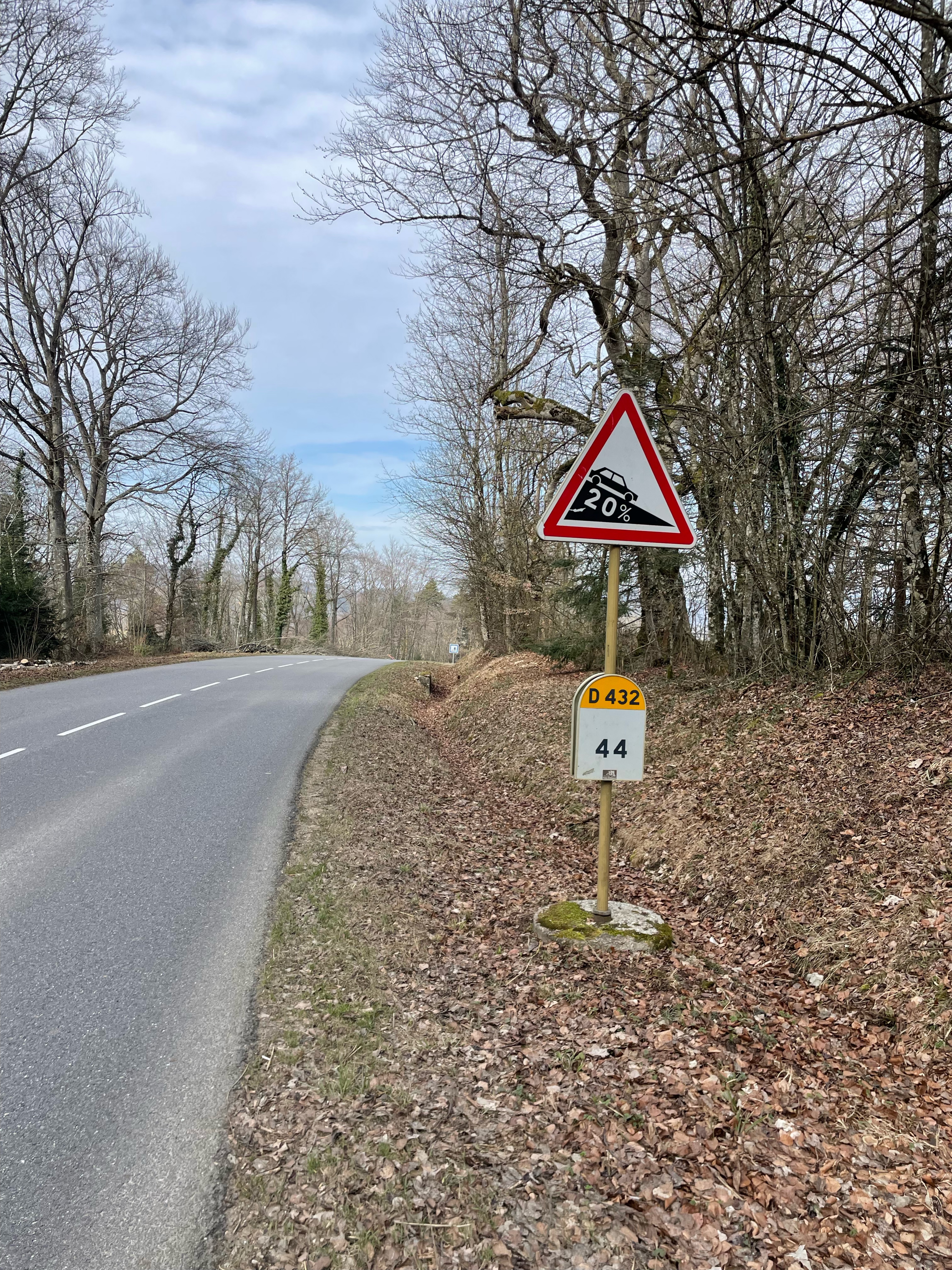
Schöne Elsassrunde durch das malerische Sundgau. Verkehrsarme Strassen und angenehme Hügel. Herrlich im Frühling mit den blühenden Obstbäumen. Im pittoresken Ferrette kann man auch einen Kaffeehalt (Fritschy) machen oder einen Käseabstecher beim Maitre Fromager Antony. Ansonsten natürlich auch gegen Ende in Mariastein ein herrliches Stück frischen Kuchen beim Restaurant Lindenhof....
- -:--
- Duration
- 64.2 km
- Distance
- 1,079 m
- Ascent
- 1,097 m
- Descent
- ---
- Avg. speed
- 650 m
- Avg. speed

Route quality
Waytypes & surfaces along the route
Waytypes
Busy road
28 km
(44 %)
Road
21.3 km
(33 %)
Surfaces
Paved
13.7 km
(21 %)
Unpaved
3.2 km
(5 %)
Asphalt
11.6 km
(18 %)
Gravel
2.3 km
(4 %)
Continue with Bikemap
Use, edit, or download this cycling route
You would like to ride Elsass-Runde or customize it for your own trip? Here is what you can do with this Bikemap route:
Free features
- Save this route as favorite or in collections
- Copy & plan your own version of this route
- Sync your route with Garmin or Wahoo
Premium features
Free trial for 3 days, or one-time payment. More about Bikemap Premium.
- Navigate this route on iOS & Android
- Export a GPX / KML file of this route
- Create your custom printout (try it for free)
- Download this route for offline navigation
Discover more Premium features.
Get Bikemap PremiumFrom our community
Other popular routes starting in Therwil
 Kleine Gemen-Tour
- Distance
- 41.1 km
- Ascent
- 883 m
- Descent
- 878 m
- Location
- Therwil, Basel-Landschaft, Switzerland
 St. Brice-Les trois Etangs
- Distance
- 50.5 km
- Ascent
- 1,209 m
- Descent
- 1,191 m
- Location
- Therwil, Basel-Landschaft, Switzerland
 Radrunde durch Reinach BL
- Distance
- 29.6 km
- Ascent
- 618 m
- Descent
- 619 m
- Location
- Therwil, Basel-Landschaft, Switzerland
 Blauerundi 4
- Distance
- 22.3 km
- Ascent
- 655 m
- Descent
- 627 m
- Location
- Therwil, Basel-Landschaft, Switzerland
 Elsass-Jura Route
- Distance
- 70.7 km
- Ascent
- 852 m
- Descent
- 852 m
- Location
- Therwil, Basel-Landschaft, Switzerland
 ST practice route.
- Distance
- 19.7 km
- Ascent
- 133 m
- Descent
- 142 m
- Location
- Therwil, Basel-Landschaft, Switzerland
 Gebirgige Elsassrunde mit Blochmont und Mur de Winkel
- Distance
- 78.8 km
- Ascent
- 1,332 m
- Descent
- 1,336 m
- Location
- Therwil, Basel-Landschaft, Switzerland
 Rundkurs von Therwil via Col de Metzerlen nach Therwil
- Distance
- 50.3 km
- Ascent
- 608 m
- Descent
- 607 m
- Location
- Therwil, Basel-Landschaft, Switzerland
Open it in the app