Premium Badge Download on the App Store Get it on Google Play Turn-by-turn Navigation Offline Maps Bike Type Optimized Routing Premium Maps Custom Bike Computer Export Routes Route Previews Fall Detection Premium Support

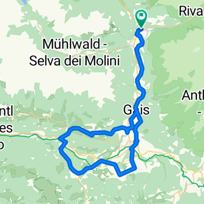
Cycling Route in Sand in Taufers, Trentino-Alto Adige, Italy

Sand-Prettau-Sand

0
Open this route in the Bikemap app

Open this route in the Bikemap app

Open this route in Bikemap Web

Open this route in Bikemap Web

50 km
Distance
670 m
Ascent
668 m
Descent
-:-- h
Duration
-- km/h
Avg. Speed
--- m
Max. Elevation

About This Route

Gesamthöhe: ca. 700 Höhenmeger

Höchsterpunkt: Prettau ca. 1.570 Meter

Von Sand in Taufers leicht ansteigend auf dem Radweg bis nach St. Johann, ab dort auf der Asphaltstraße zunehmend steiler bis nach Prettau (letztes Stück eher unangenehm durch mehrere kurze Tunnel).

This cycling route is ideal for: MTB

You will cycle on the following surfaces: Paved Gravel

Customize this cycling route with the Bikemap route planner.

Make it yours!

Did you know? You can use this route as a template in our cycling route planner if you don't wish to start from scratch. Customize it based on your needs to plan your perfect cycling tour.

Open it in the app