
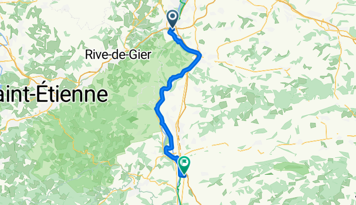
Etape 6
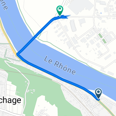
A cycling route starting in Chasse-sur-Rhône, Auvergne-Rhône-Alpes, France.
Overview
About this route
Chasse sur Rhone - Saint Rambert d'albon
- -:--
- Duration
- 54.3 km
- Distance
- 161 m
- Ascent
- 163 m
- Descent
- ---
- Avg. speed
- 171 m
- Avg. speed

Route quality
Waytypes & surfaces along the route
Waytypes
Cycleway
28.1 km
(52 %)
Quiet road
17 km
(31 %)
Surfaces
Paved
45.6 km
(84 %)
Unpaved
0.6 km
(1 %)
Asphalt
45.5 km
(84 %)
Gravel
0.6 km
(1 %)
Continue with Bikemap
Use, edit, or download this cycling route
You would like to ride Etape 6 or customize it for your own trip? Here is what you can do with this Bikemap route:
Free features
- Save this route as favorite or in collections
- Copy & plan your own version of this route
- Sync your route with Garmin or Wahoo
Premium features
Free trial for 3 days, or one-time payment. More about Bikemap Premium.
- Navigate this route on iOS & Android
- Export a GPX / KML file of this route
- Create your custom printout (try it for free)
- Download this route for offline navigation
Discover more Premium features.
Get Bikemap PremiumFrom our community
Other popular routes starting in Chasse-sur-Rhône
 2 Allée Nelson Mandela, Givors à 196 Route de Givors, Chasse-sur-Rhône
- Distance
- 1.5 km
- Ascent
- 3 m
- Descent
- 3 m
- Location
- Chasse-sur-Rhône, Auvergne-Rhône-Alpes, France
 145 Rue Pasteur, Chasse-sur-Rhône à 3 Route de Lyon, Brignais
- Distance
- 13.9 km
- Ascent
- 92 m
- Descent
- 44 m
- Location
- Chasse-sur-Rhône, Auvergne-Rhône-Alpes, France
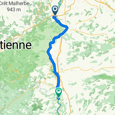
 (sun) chasse to pelussin
- Distance
- 32.2 km
- Ascent
- 582 m
- Descent
- 298 m
- Location
- Chasse-sur-Rhône, Auvergne-Rhône-Alpes, France
 MARLOTY
- Distance
- 6.5 km
- Ascent
- 325 m
- Descent
- 136 m
- Location
- Chasse-sur-Rhône, Auvergne-Rhône-Alpes, France
 Etape 6
- Distance
- 54.3 km
- Ascent
- 161 m
- Descent
- 163 m
- Location
- Chasse-sur-Rhône, Auvergne-Rhône-Alpes, France
 Rue Pasteur to Rue du Belvédère
- Distance
- 61.9 km
- Ascent
- 229 m
- Descent
- 259 m
- Location
- Chasse-sur-Rhône, Auvergne-Rhône-Alpes, France
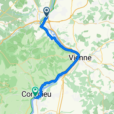 27 Rue du 27 Juillet 1944, Ternay to Promenade de la Décize, Condrieu
- Distance
- 27.5 km
- Ascent
- 54 m
- Descent
- 77 m
- Location
- Chasse-sur-Rhône, Auvergne-Rhône-Alpes, France
 5 Avenue Anatole France, Givors nach 11 Boulevard de la République, Vienne
- Distance
- 10.5 km
- Ascent
- 40 m
- Descent
- 43 m
- Location
- Chasse-sur-Rhône, Auvergne-Rhône-Alpes, France
Open it in the app