

Eschenlainetal-Rundtour über Walchensee
A cycling route starting in Eschenlohe, Bavaria, Germany.
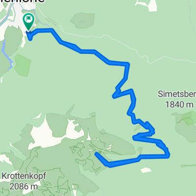
Overview
About this route
Landschaftlich sehr schöne Runde mit für MTBs gut fahrbaren Schotterwegen, tollen Blicken auf den Walchensee und einem Wasserfall als Highlight direkt an der Route.
Kurz nach Beginn der Tour ist eine Steigung von knapp 20 % zu überwinden.
Im Schnitt bewegen sich die Anstiege jedoch bei ca. 10-14 %.
- -:--
- Duration
- 41.3 km
- Distance
- 803 m
- Ascent
- 802 m
- Descent
- ---
- Avg. speed
- ---
- Avg. speed
Continue with Bikemap
Use, edit, or download this cycling route
You would like to ride Eschenlainetal-Rundtour über Walchensee or customize it for your own trip? Here is what you can do with this Bikemap route:
Free features
- Save this route as favorite or in collections
- Copy & plan your own version of this route
- Sync your route with Garmin or Wahoo
Premium features
Free trial for 3 days, or one-time payment. More about Bikemap Premium.
- Navigate this route on iOS & Android
- Export a GPX / KML file of this route
- Create your custom printout (try it for free)
- Download this route for offline navigation
Discover more Premium features.
Get Bikemap PremiumFrom our community
Other popular routes starting in Eschenlohe
 Um den Herzogstand
- Distance
- 53.3 km
- Ascent
- 911 m
- Descent
- 909 m
- Location
- Eschenlohe, Bavaria, Germany
 Eschenlohe - Hohe Kisten
- Distance
- 24.8 km
- Ascent
- 1,140 m
- Descent
- 1,140 m
- Location
- Eschenlohe, Bavaria, Germany
 Eschenlohe - Hohe Kisten
- Distance
- 24.7 km
- Ascent
- 1,126 m
- Descent
- 1,133 m
- Location
- Eschenlohe, Bavaria, Germany
 Eschelohe-Nals
- Distance
- 244.4 km
- Ascent
- 1,437 m
- Descent
- 1,766 m
- Location
- Eschenlohe, Bavaria, Germany
 Hohe Kisten - Krottenkopf Runde
- Distance
- 38.6 km
- Ascent
- 1,481 m
- Descent
- 1,481 m
- Location
- Eschenlohe, Bavaria, Germany
 2021-02 Eschenlohe-Füssen
- Distance
- 65 km
- Ascent
- 578 m
- Descent
- 392 m
- Location
- Eschenlohe, Bavaria, Germany
 Eschenlohe - Umrundung Estergebirge
- Distance
- 53.5 km
- Ascent
- 1,068 m
- Descent
- 1,062 m
- Location
- Eschenlohe, Bavaria, Germany
 02_Loisach-Isar-Tour
- Distance
- 50.1 km
- Ascent
- 171 m
- Descent
- 222 m
- Location
- Eschenlohe, Bavaria, Germany
Open it in the app