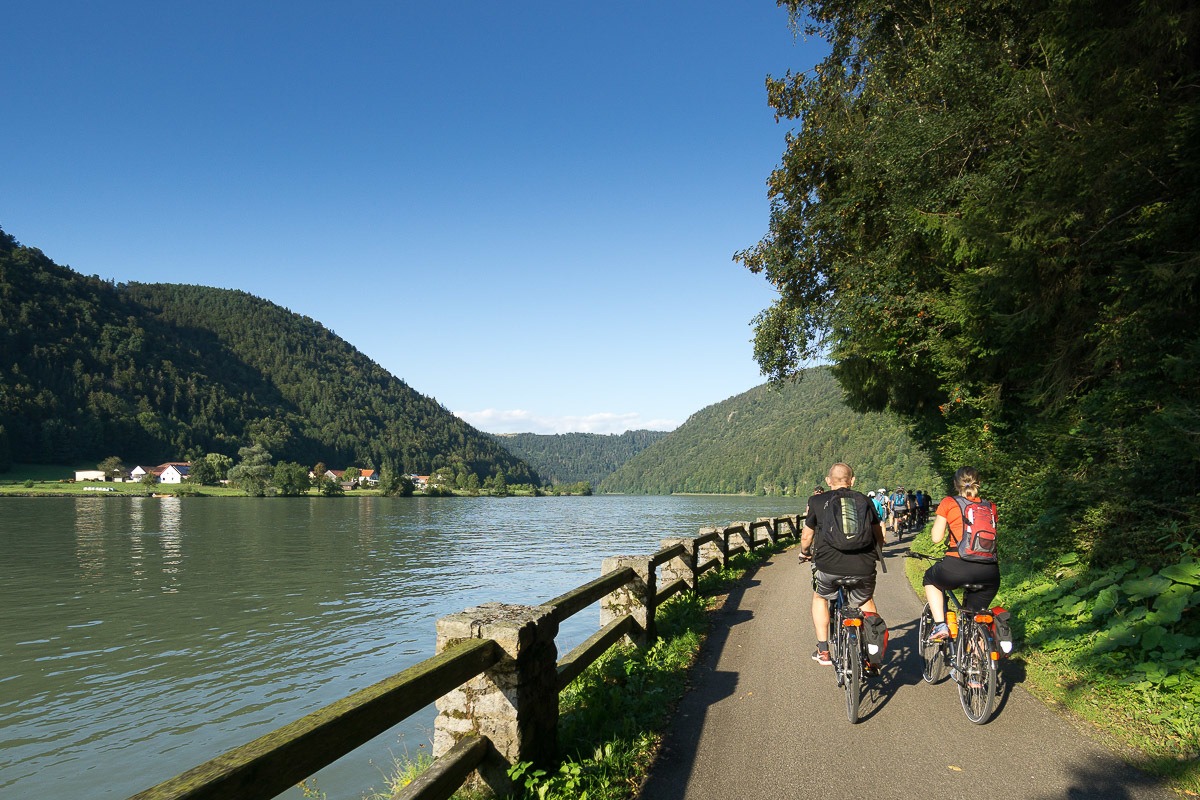
Römerradweg OÖ
A cycling route starting in Schärding, Upper Austria, Austria.
Overview
About this route
Auf dem Fahrrad in die Römerzeit
- -:--
- Duration
- 234.8 km
- Distance
- 1,653 m
- Ascent
- 1,710 m
- Descent
- ---
- Avg. speed
- 721 m
- Avg. speed
Route quality
Waytypes & surfaces along the route
Waytypes
Quiet road
112.1 km
(48 %)
Road
37.6 km
(16 %)
Surfaces
Paved
116.8 km
(50 %)
Unpaved
23.4 km
(10 %)
Asphalt
114.8 km
(49 %)
Gravel
19.2 km
(8 %)
Route highlights
Points of interest along the route
Accommodation after 63.2 km
Zillner's Einkehr Stadtplatz 13, 4950 Altheim (Oberösterreich) Telefon : 0043-7723 / 42269 E-Mail : hotel@zillners-einkehr.at Internet : www.zillners-einkehr.at
Accommodation after 74.3 km
Haus "Am Römerradweg" Eichenweg 2 4932 Kirchheim im Innkreis
Accommodation after 78.4 km
Hotel DanzerHöhnharterstr.19 077557066 Aspach
Accommodation after 146.9 km
Adresse: Badgasse 6, A- 4800 Attnang-Puchheim Telefon: 0043 - 76 74 - 63 567 Fax: 0043 - 76 74 - 63 567 55 Internet: www.baeckerbrunnen.at E-Mail: office@baeckerbrunnen.at
Accommodation after 180.9 km
Gasthaus zur Waldschänke Fam. Henriette und Franz Weiß Roithenstraße 2 4600 Wels Kontakt: weiss@waldschaenke.com | +43 (0) 7242 616 40
Point of interest after 186.2 km
WAV Wels
Accommodation after 233.5 km
Pension zum Römer Mauthausnerstraße 39, 4470 Enns (Oberösterreich) Telefon : 0043-7223 / 84900 E-Mail : pension@zumroemer.at Internet : www.zumroemer.at
Continue with Bikemap
Use, edit, or download this cycling route
You would like to ride Römerradweg OÖ or customize it for your own trip? Here is what you can do with this Bikemap route:
Free features
- Save this route as favorite or in collections
- Copy & plan your own version of this route
- Sync your route with Garmin or Wahoo
Premium features
Free trial for 3 days, or one-time payment. More about Bikemap Premium.
- Navigate this route on iOS & Android
- Export a GPX / KML file of this route
- Create your custom printout (try it for free)
- Download this route for offline navigation
Discover more Premium features.
Get Bikemap PremiumFrom our community
Other popular routes starting in Schärding
 Passau - Linz
- Distance
- 87.8 km
- Ascent
- 482 m
- Descent
- 536 m
- Location
- Schärding, Upper Austria, Austria
 Passau to Vienna bike tour
- Distance
- 330.9 km
- Ascent
- 2,804 m
- Descent
- 2,916 m
- Location
- Schärding, Upper Austria, Austria
 Passau-Wien
- Distance
- 307.8 km
- Ascent
- 281 m
- Descent
- 408 m
- Location
- Schärding, Upper Austria, Austria
 Höllgasse, Passau to Gstöttenau, Pupping
- Distance
- 70.8 km
- Ascent
- 1,342 m
- Descent
- 1,389 m
- Location
- Schärding, Upper Austria, Austria
 Donauradweg 1. Etappe
- Distance
- 14.8 km
- Ascent
- 61 m
- Descent
- 70 m
- Location
- Schärding, Upper Austria, Austria
 Route zu Gemeinde Ardagger
- Distance
- 352.5 km
- Ascent
- 3,586 m
- Descent
- 3,672 m
- Location
- Schärding, Upper Austria, Austria
 Passau - Wien, 1.Etappe
- Distance
- 38.3 km
- Ascent
- 505 m
- Descent
- 536 m
- Location
- Schärding, Upper Austria, Austria
 Route zu St. Aegidi
- Distance
- 20.6 km
- Ascent
- 661 m
- Descent
- 567 m
- Location
- Schärding, Upper Austria, Austria
Open it in the app

