

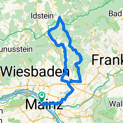
Rheinstraße 68, Mainz nach Annemarie-Renger-Straße 1A, Mainz
A cycling route starting in Mainz, Rhineland-Palatinate, Germany.
Overview
About this route
- 49 min
- Duration
- 14.6 km
- Distance
- 102 m
- Ascent
- 72 m
- Descent
- 18.1 km/h
- Avg. speed
- 119 m
- Avg. speed

Route quality
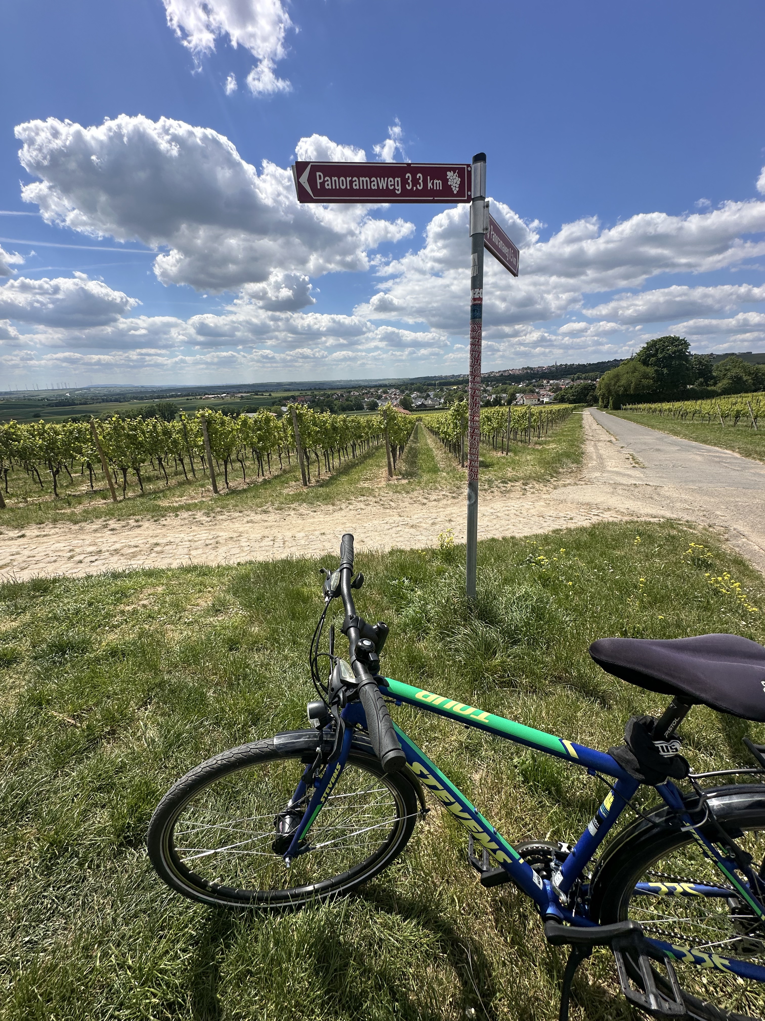
Waytypes & surfaces along the route
Waytypes
Path
5.1 km
(35 %)
Quiet road
4.9 km
(33 %)
Surfaces
Paved
12.1 km
(83 %)
Unpaved
1.5 km
(10 %)
Asphalt
8.1 km
(56 %)
Paving stones
2.1 km
(14 %)
Continue with Bikemap
Use, edit, or download this cycling route
You would like to ride Rheinstraße 68, Mainz nach Annemarie-Renger-Straße 1A, Mainz or customize it for your own trip? Here is what you can do with this Bikemap route:
Free features
- Save this route as favorite or in collections
- Copy & plan your own version of this route
- Sync your route with Garmin or Wahoo
Premium features
Free trial for 3 days, or one-time payment. More about Bikemap Premium.
- Navigate this route on iOS & Android
- Export a GPX / KML file of this route
- Create your custom printout (try it for free)
- Download this route for offline navigation
Discover more Premium features.
Get Bikemap PremiumFrom our community
Other popular routes starting in Mainz
 Desvela Alemanha - Mainz
- Distance
- 52.9 km
- Ascent
- 1,452 m
- Descent
- 1,451 m
- Location
- Mainz, Rhineland-Palatinate, Germany
 Mainz-Lorsbachtal-Heftrich-Niedernhausen-Mainz
- Distance
- 82.4 km
- Ascent
- 719 m
- Descent
- 720 m
- Location
- Mainz, Rhineland-Palatinate, Germany
 Tiger and Muesli
- Distance
- 59.2 km
- Ascent
- 621 m
- Descent
- 565 m
- Location
- Mainz, Rhineland-Palatinate, Germany
 In alte Gefilde
- Distance
- 50 km
- Ascent
- 365 m
- Descent
- 362 m
- Location
- Mainz, Rhineland-Palatinate, Germany
 De: Mainz Süd süss
- Distance
- 54.9 km
- Ascent
- 568 m
- Descent
- 555 m
- Location
- Mainz, Rhineland-Palatinate, Germany
 Annemarie-Renger-Straße, Mainz nach Hechtsheimer Straße, Mainz
- Distance
- 17.1 km
- Ascent
- 131 m
- Descent
- 132 m
- Location
- Mainz, Rhineland-Palatinate, Germany
 Rheinhessentour um Mainz
- Distance
- 30.6 km
- Ascent
- 278 m
- Descent
- 278 m
- Location
- Mainz, Rhineland-Palatinate, Germany
 Feldberg-Runde (direkt & bergig)
- Distance
- 92.7 km
- Ascent
- 1,300 m
- Descent
- 1,302 m
- Location
- Mainz, Rhineland-Palatinate, Germany
Open it in the app