Premium Badge Download on the App Store Get it on Google Play Turn-by-turn Navigation Offline Maps Bike Type Optimized Routing Premium Maps Custom Bike Computer Export Routes Route Previews Fall Detection Premium Support

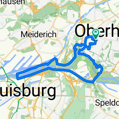
Cycling Route in Oberhausen, North Rhine-Westphalia, Germany

Oberhausener Norden

0
Open this route in the Bikemap app

Open this route in the Bikemap app

Open this route in Bikemap Web

Open this route in Bikemap Web

40 km
Distance
243 m
Ascent
243 m
Descent
-:-- h
Duration
-- km/h
Avg. Speed
77 m
Max. Elevation

About This Route

Vom Hostel Veritas über den Rhein-Herne-Kanal auf die HOAG-Trasse bis OB-Holten. Dann über die Hühnerheide zum Hiesfelder Wald und weiter zum Fuße der Haniel-Halde. Anschließend weiter zum Olga-Park und wieder zurück zum Hostel Veritas. Zwischen Holten und Hiesfelder Wald geht es teilweise auf Strasse weiter, aber diese sind nicht stark befahren.

Route Photos

Customize this cycling route with the Bikemap route planner.

Make it yours!

Did you know? You can use this route as a template in our cycling route planner if you don't wish to start from scratch. Customize it based on your needs to plan your perfect cycling tour.

Open it in the app