

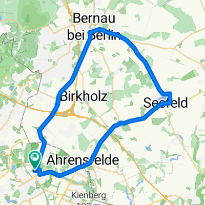
Schweriner Ring 83, Berlin nach Schweriner Ring 67, Berlin
A cycling route starting in Wartenberg, Land Berlin, Germany.
Overview
About this route
- 1 h 18 min
- Duration
- 20.4 km
- Distance
- 337 m
- Ascent
- 329 m
- Descent
- 15.8 km/h
- Avg. speed
- 104 m
- Avg. speed
Route quality
Waytypes & surfaces along the route
Waytypes
Pedestrian area
20.2 km
(99 %)
Access road
0.2 km
(<1 %)
Surfaces
Paved
8.4 km
(41 %)
Unpaved
11.8 km
(58 %)
Loose gravel
11.7 km
(57 %)
Asphalt
8.3 km
(41 %)
Continue with Bikemap
Use, edit, or download this cycling route
You would like to ride Schweriner Ring 83, Berlin nach Schweriner Ring 67, Berlin or customize it for your own trip? Here is what you can do with this Bikemap route:
Free features
- Save this route as favorite or in collections
- Copy & plan your own version of this route
- Sync your route with Garmin or Wahoo
Premium features
Free trial for 3 days, or one-time payment. More about Bikemap Premium.
- Navigate this route on iOS & Android
- Export a GPX / KML file of this route
- Create your custom printout (try it for free)
- Download this route for offline navigation
Discover more Premium features.
Get Bikemap PremiumFrom our community
Other popular routes starting in Wartenberg
 Berlin HSH - Bernau - Eberswalde - Bad Freienwalde - Wriezen - Strausberg - Alt Landsberg - Bln HSH 135 Km
- Distance
- 134.6 km
- Ascent
- 303 m
- Descent
- 303 m
- Location
- Wartenberg, Land Berlin, Germany
 Schweriner Ring 38, Berlin nach Schweriner Ring 38, Berlin
- Distance
- 37 km
- Ascent
- 129 m
- Descent
- 126 m
- Location
- Wartenberg, Land Berlin, Germany
 neue route 03.05.2018
- Distance
- 32.2 km
- Ascent
- 79 m
- Descent
- 81 m
- Location
- Wartenberg, Land Berlin, Germany
 Hagenower Ring 32, Berlin nach Hagenower Ring 34, Berlin
- Distance
- 34 km
- Ascent
- 139 m
- Descent
- 139 m
- Location
- Wartenberg, Land Berlin, Germany
 Kusunoki´s Berlin-Erkner-Altlandsbergtour 80 Km
- Distance
- 80.8 km
- Ascent
- 104 m
- Descent
- 106 m
- Location
- Wartenberg, Land Berlin, Germany
 Exploring Malchower See
- Distance
- 8.4 km
- Ascent
- 20 m
- Descent
- 24 m
- Location
- Wartenberg, Land Berlin, Germany
 Bln HsH - Potsdam - Brandenburg a.d.H. 86,7 Km
- Distance
- 86.8 km
- Ascent
- 137 m
- Descent
- 164 m
- Location
- Wartenberg, Land Berlin, Germany
 Hohenschönhausen - Bernau - Seefeld - Hohenschönhausen
- Distance
- 37.8 km
- Ascent
- 69 m
- Descent
- 66 m
- Location
- Wartenberg, Land Berlin, Germany