Cycling Route in Yilan, Taiwan, Taiwan
宜蘭河單車道→蘭陽溪左岸單車道
1

Open this route in the Bikemap app

Open this route in Bikemap Web
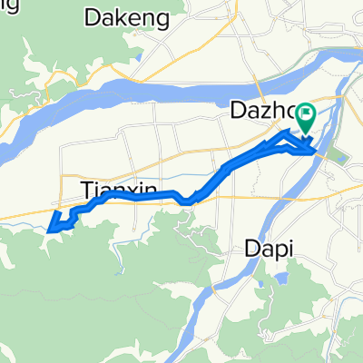
32
km
Distance
Distance
36
m
Ascent
Ascent
36
m
Descent
Descent
-:--
h
Duration
Duration
--
km/h
Avg. Speed
Avg. Speed
---
m
Max. Elevation
Max. Elevation