Eifelbrassel2009_A__104
A cycling route starting in Steffeln, Rhineland-Palatinate, Germany.
Overview
About this route
kürzere Varianten:
79 km-Variante:
Schönecken-Schwarzbach-Plütscheid-Waxweiler-Merlscheid
73 km-Variante:
Schönecken-Nimsreuland-Lascheid-Waxweiler-Merlscheid
65 km-Variante:
Schönecken-Nimsreuland-Eilscheid-Merlscheid
siehe auch<br />http://www.bikemap.net/route/110189
- -:--
- Duration
- 103.5 km
- Distance
- 1,306 m
- Ascent
- 1,338 m
- Descent
- ---
- Avg. speed
- 589 m
- Avg. speed
Route quality
Waytypes & surfaces along the route
Waytypes
Busy road
48.6 km
(47 %)
Road
32.2 km
(31 %)
Surfaces
Paved
64.9 km
(63 %)
Unpaved
4.9 km
(5 %)
Asphalt
61.5 km
(59 %)
Paved (undefined)
3.2 km
(3 %)
Continue with Bikemap
Use, edit, or download this cycling route
You would like to ride Eifelbrassel2009_A__104 or customize it for your own trip? Here is what you can do with this Bikemap route:
Free features
- Save this route as favorite or in collections
- Copy & plan your own version of this route
- Sync your route with Garmin or Wahoo
Premium features
Free trial for 3 days, or one-time payment. More about Bikemap Premium.
- Navigate this route on iOS & Android
- Export a GPX / KML file of this route
- Create your custom printout (try it for free)
- Download this route for offline navigation
Discover more Premium features.
Get Bikemap PremiumFrom our community
Other popular routes starting in Steffeln
- Hochstraße 7, Steffeln to Hochstraße 5, Steffeln
- Distance
- 9.4 km
- Ascent
- 119 m
- Descent
- 124 m
- Location
- Steffeln, Rhineland-Palatinate, Germany
- Brunnenstraße, Steffeln nach Römerstraße, Lissendorf
- Distance
- 8.4 km
- Ascent
- 85 m
- Descent
- 122 m
- Location
- Steffeln, Rhineland-Palatinate, Germany
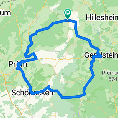
- Eifelbrassel2008-2_70
- Distance
- 70.6 km
- Ascent
- 969 m
- Descent
- 1,042 m
- Location
- Steffeln, Rhineland-Palatinate, Germany
- Eifelbrassel2009_A__104
- Distance
- 103.5 km
- Ascent
- 1,306 m
- Descent
- 1,338 m
- Location
- Steffeln, Rhineland-Palatinate, Germany
- !Eifelbrassel_2012_Kaiseralftal_115
- Distance
- 114.1 km
- Ascent
- 982 m
- Descent
- 982 m
- Location
- Steffeln, Rhineland-Palatinate, Germany
- Waldstraße 10, Steffeln to Brunnenstraße 1, Steffeln
- Distance
- 9.3 km
- Ascent
- 161 m
- Descent
- 166 m
- Location
- Steffeln, Rhineland-Palatinate, Germany
- Eifelbrassel2008-1_102
- Distance
- 101.7 km
- Ascent
- 1,527 m
- Descent
- 1,398 m
- Location
- Steffeln, Rhineland-Palatinate, Germany
- 4. Etappe
- Distance
- 101 km
- Ascent
- 684 m
- Descent
- 1,030 m
- Location
- Steffeln, Rhineland-Palatinate, Germany
Open it in the app