Cycling Route in Timişoara, Judeţul Timiş, Romania
Ciclodrumeție pista bicicletă spre Zrejnanin
1

Open this route in the Bikemap app

Open this route in Bikemap Web
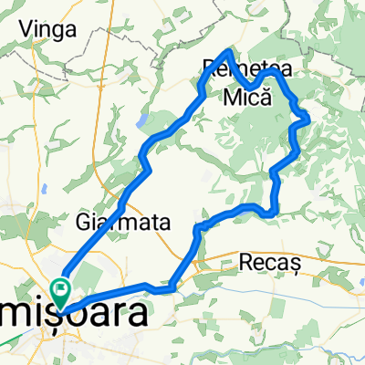
42
km
Distance
Distance
17
m
Ascent
Ascent
26
m
Descent
Descent
-:--
h
Duration
Duration
--
km/h
Avg. Speed
Avg. Speed
91
m
Max. Elevation
Max. Elevation