Premium Badge Download on the App Store Get it on Google Play Turn-by-turn Navigation Offline Maps Bike Type Optimized Routing Premium Maps Custom Bike Computer Export Routes Route Previews Fall Detection Premium Support

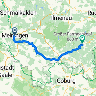
Cycling Route in Meiningen, Free State of Thuringia, Germany

Hohe Mass-Ellingshausen-Einhausen-MGN

1
Open this route in the Bikemap app

Open this route in the Bikemap app

Open this route in Bikemap Web

Open this route in Bikemap Web

24 km
Distance
326 m
Ascent
329 m
Descent
-:-- h
Duration
-- km/h
Avg. Speed
--- m
Max. Elevation

About This Route

Hauptsächlich für MTB geeignet. Anfangs starke Steigung bis zur Hossfeldhütte. Die Abfahrt nach der "Hohen Mass" Richtung Ellingshausen hat einige Querliegende Absätze, die nicht zu unterschätzen sind. Ab Ellingshausen gut für Trekkingbikes geeignet. Von Einhausen über den Radweg nach Meiningen zurück, hier keine Steigungen mehr.

This cycling route is ideal for: MTB

You will cycle on the following surfaces: Paved Unpaved Gravel

Customize this cycling route with the Bikemap route planner.

Make it yours!

Did you know? You can use this route as a template in our cycling route planner if you don't wish to start from scratch. Customize it based on your needs to plan your perfect cycling tour.

Open it in the app