Cycling Route in Keelung, Taiwan, Taiwan
扶輪盃北海岸自行車比賽路線
1

Open this route in the Bikemap app

Open this route in Bikemap Web
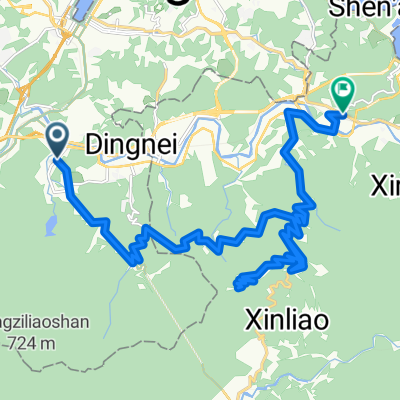
63
km
Distance
Distance
579
m
Ascent
Ascent
581
m
Descent
Descent
-:--
h
Duration
Duration
--
km/h
Avg. Speed
Avg. Speed
---
m
Max. Elevation
Max. Elevation

![[三星]十分火車站到木柵動物園捷運站](https://media.bikemap.net/routes/98855/staticmaps/in_3aff9314-eb5f-4d8c-b0f0-acbb70624eb1_400x400_bikemap-2021-3D-static.png)