Premium Badge Download on the App Store Get it on Google Play Turn-by-turn Navigation Offline Maps Bike Type Optimized Routing Premium Maps Custom Bike Computer Export Routes Route Previews Fall Detection Premium Support

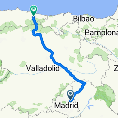
Cycling Route in Algete, Madrid, Spain

Algete-Ca帽贸n del rio Guadalix-El Molar

0
Open this route in the Bikemap app

Open this route in the Bikemap app

Open this route in Bikemap Web

Open this route in Bikemap Web

54 km
Distance
440 m
Ascent
440 m
Descent
-:-- h
Duration
-- km/h
Avg. Speed
--- m
Max. Elevation

About This Route

Se baja por el camino del Espinar paralelo al colegio que llega a la urbanizaci贸n Prado Norte. Atravesamos las carreteras a Fuente el Saz hacia la urbanizaci贸n Santo domingo vadeando el rio Jarama (puente cementado visible y luego a la izquierda y al poco derecha). Rodeamos Santo domingo hasta llegar paralelos a la A-1 al Ca帽贸n donde hay que rodear el pol铆gono para cruzar el r铆o y coger la pista forestal del CYII hacia El Molar con unas excelentes vistas. Cruzamos el pueblo y llegamos a un camino agr铆cola semiasfaltado que baja hasta Santo Domingo para terminar en el punto de inicio.

This cycling route is ideal for: MTB

You will cycle on the following surfaces: Unpaved

Customize this cycling route with the Bikemap route planner.

Make it yours!

Did you know? You can use this route as a template in our cycling route planner if you don't wish to start from scratch. Customize it based on your needs to plan your perfect cycling tour.

Open it in the app