

CTK - See Sachsendorf - Lidl/Aral - See Madlow - Zoo - Netto - Hauptbahnhof
A cycling route starting in Cottbus, Brandenburg, Germany.
Overview
About this route
- 1 h 18 min
- Duration
- 20.4 km
- Distance
- 77 m
- Ascent
- 78 m
- Descent
- 15.7 km/h
- Avg. speed
- 83 m
- Avg. speed

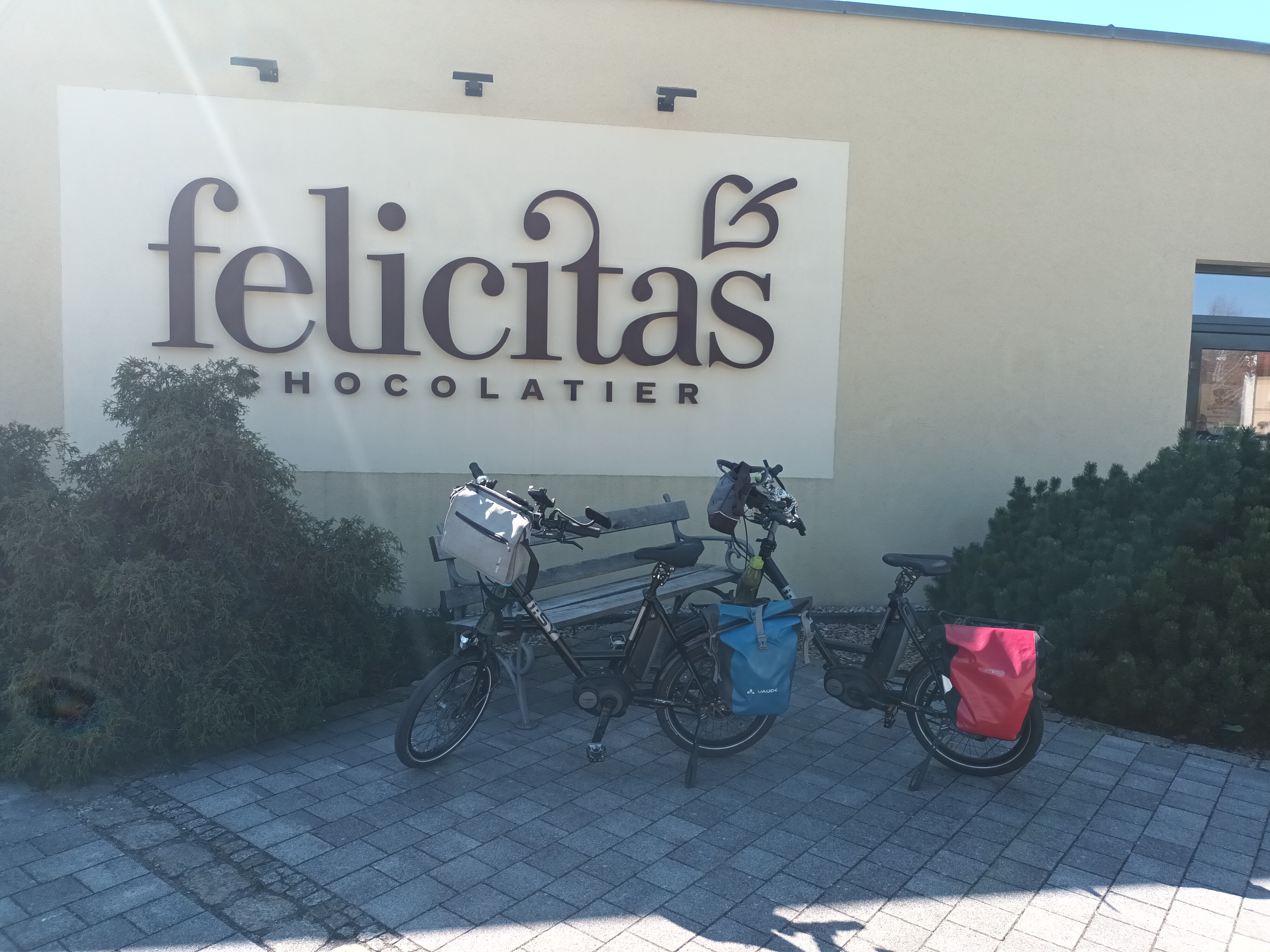
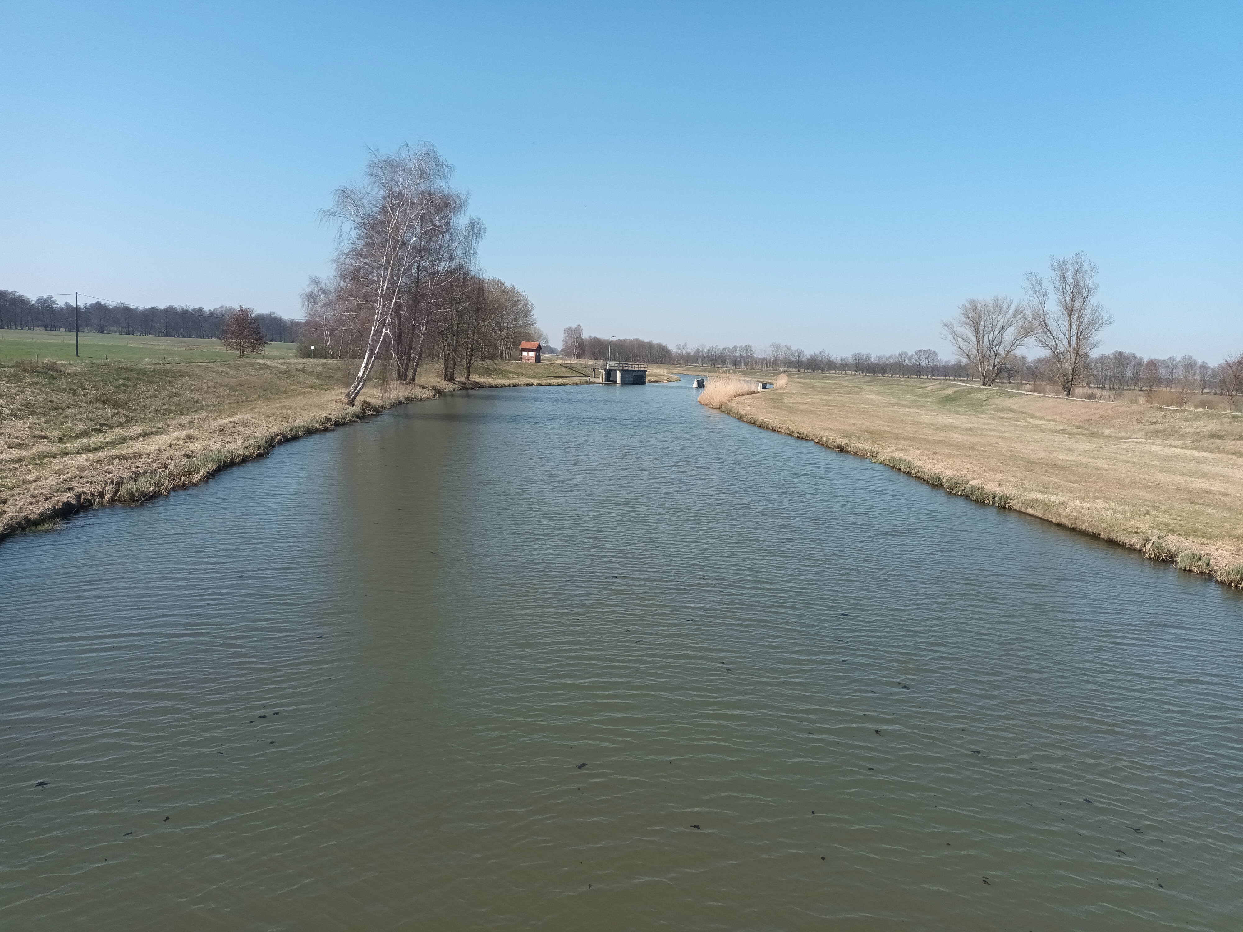
Route photos


Route quality
Waytypes & surfaces along the route
Waytypes
Path
8.3 km
(41 %)
Quiet road
6 km
(30 %)
Surfaces
Paved
13.8 km
(67 %)
Unpaved
2 km
(10 %)
Asphalt
9.1 km
(45 %)
Paving stones
4.1 km
(20 %)
Continue with Bikemap
Use, edit, or download this cycling route
You would like to ride CTK - See Sachsendorf - Lidl/Aral - See Madlow - Zoo - Netto - Hauptbahnhof or customize it for your own trip? Here is what you can do with this Bikemap route:
Free features
- Save this route as favorite or in collections
- Copy & plan your own version of this route
- Sync your route with Garmin or Wahoo
Premium features
Free trial for 3 days, or one-time payment. More about Bikemap Premium.
- Navigate this route on iOS & Android
- Export a GPX / KML file of this route
- Create your custom printout (try it for free)
- Download this route for offline navigation
Discover more Premium features.
Get Bikemap PremiumFrom our community
Other popular routes starting in Cottbus
 Ostsee Rundweg
- Distance
- 34.1 km
- Ascent
- 69 m
- Descent
- 70 m
- Location
- Cottbus, Brandenburg, Germany
 Fahren nach Zahlen: im Süden um Cottbus
- Distance
- 40.7 km
- Ascent
- 182 m
- Descent
- 184 m
- Location
- Cottbus, Brandenburg, Germany
 BRT2013-DO: Drebkauer-Erlebnis-Tour - RTF der Stadt Drebkau beim BRT2013 in Cottbus - 115 km Strecke
- Distance
- 110.1 km
- Ascent
- 224 m
- Descent
- 224 m
- Location
- Cottbus, Brandenburg, Germany
 Cottbus - Talsperre Spremberg (Umrundung) - Cottbus
- Distance
- 50.6 km
- Ascent
- 134 m
- Descent
- 133 m
- Location
- Cottbus, Brandenburg, Germany
 Zum Ostsee
- Distance
- 25.7 km
- Ascent
- 25 m
- Descent
- 11 m
- Location
- Cottbus, Brandenburg, Germany
 BRT2013-FR: Teichland - Tour - RTF der RSV Peitz e.V. + Teichlandradler e.V. beim BRT2013 in Cottbus - 75 km Strecke
- Distance
- 74.1 km
- Ascent
- 95 m
- Descent
- 96 m
- Location
- Cottbus, Brandenburg, Germany
 Nach Hornow
- Distance
- 69.3 km
- Ascent
- 128 m
- Descent
- 109 m
- Location
- Cottbus, Brandenburg, Germany
 Straubitz Mühle
- Distance
- 69.4 km
- Ascent
- 55 m
- Descent
- 14 m
- Location
- Cottbus, Brandenburg, Germany
Open it in the app