

Skala vrch cez Košarisko_2020_júl
A cycling route starting in Bratislava, Bratislavský kraj, Slovak Republic.
Overview
About this route
Na vrch Skala cez Košariská, poza tábor.
- -:--
- Duration
- 61.7 km
- Distance
- 802 m
- Ascent
- 792 m
- Descent
- ---
- Avg. speed
- 563 m
- Avg. speed

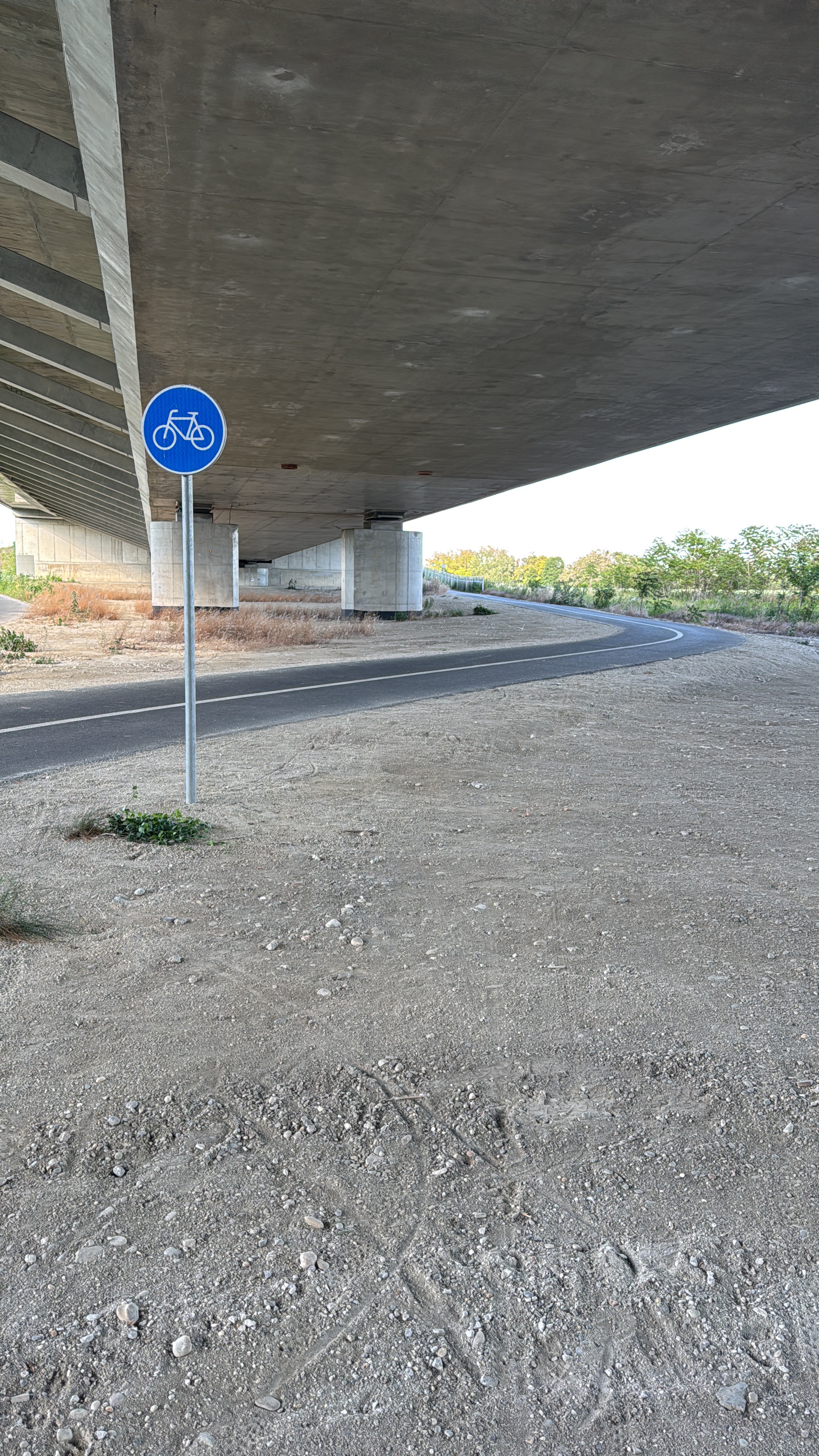
Route photos


Continue with Bikemap
Use, edit, or download this cycling route
You would like to ride Skala vrch cez Košarisko_2020_júl or customize it for your own trip? Here is what you can do with this Bikemap route:
Free features
- Save this route as favorite or in collections
- Copy & plan your own version of this route
- Sync your route with Garmin or Wahoo
Premium features
Free trial for 3 days, or one-time payment. More about Bikemap Premium.
- Navigate this route on iOS & Android
- Export a GPX / KML file of this route
- Create your custom printout (try it for free)
- Download this route for offline navigation
Discover more Premium features.
Get Bikemap PremiumFrom our community
Other popular routes starting in Bratislava
 Bratislava - Kitsee - Jarovce - Rusovce
- Distance
- 31.2 km
- Ascent
- 14 m
- Descent
- 17 m
- Location
- Bratislava, Bratislavský kraj, Slovak Republic
 na Veľký Javorník a späť
- Distance
- 39.4 km
- Ascent
- 550 m
- Descent
- 550 m
- Location
- Bratislava, Bratislavský kraj, Slovak Republic
 Žltá, Bratislava V to Fialová, Bratislava V
- Distance
- 10.8 km
- Ascent
- 104 m
- Descent
- 96 m
- Location
- Bratislava, Bratislavský kraj, Slovak Republic
 Okolo Dunaja cez Vojku
- Distance
- 65.5 km
- Ascent
- 75 m
- Descent
- 75 m
- Location
- Bratislava, Bratislavský kraj, Slovak Republic
 poobedňajšia 50ka BA-Bernolákovo a späť
- Distance
- 50.3 km
- Ascent
- 47 m
- Descent
- 47 m
- Location
- Bratislava, Bratislavský kraj, Slovak Republic
 Route to Modrý kostol svätej Alžbety
- Distance
- 13.1 km
- Ascent
- 26 m
- Descent
- 25 m
- Location
- Bratislava, Bratislavský kraj, Slovak Republic
 Road: Kopce na železnej studničke
- Distance
- 87.4 km
- Ascent
- 1,887 m
- Descent
- 1,882 m
- Location
- Bratislava, Bratislavský kraj, Slovak Republic
 Okolo Hainburgských vŕškov
- Distance
- 41 km
- Ascent
- 177 m
- Descent
- 178 m
- Location
- Bratislava, Bratislavský kraj, Slovak Republic
Open it in the app