

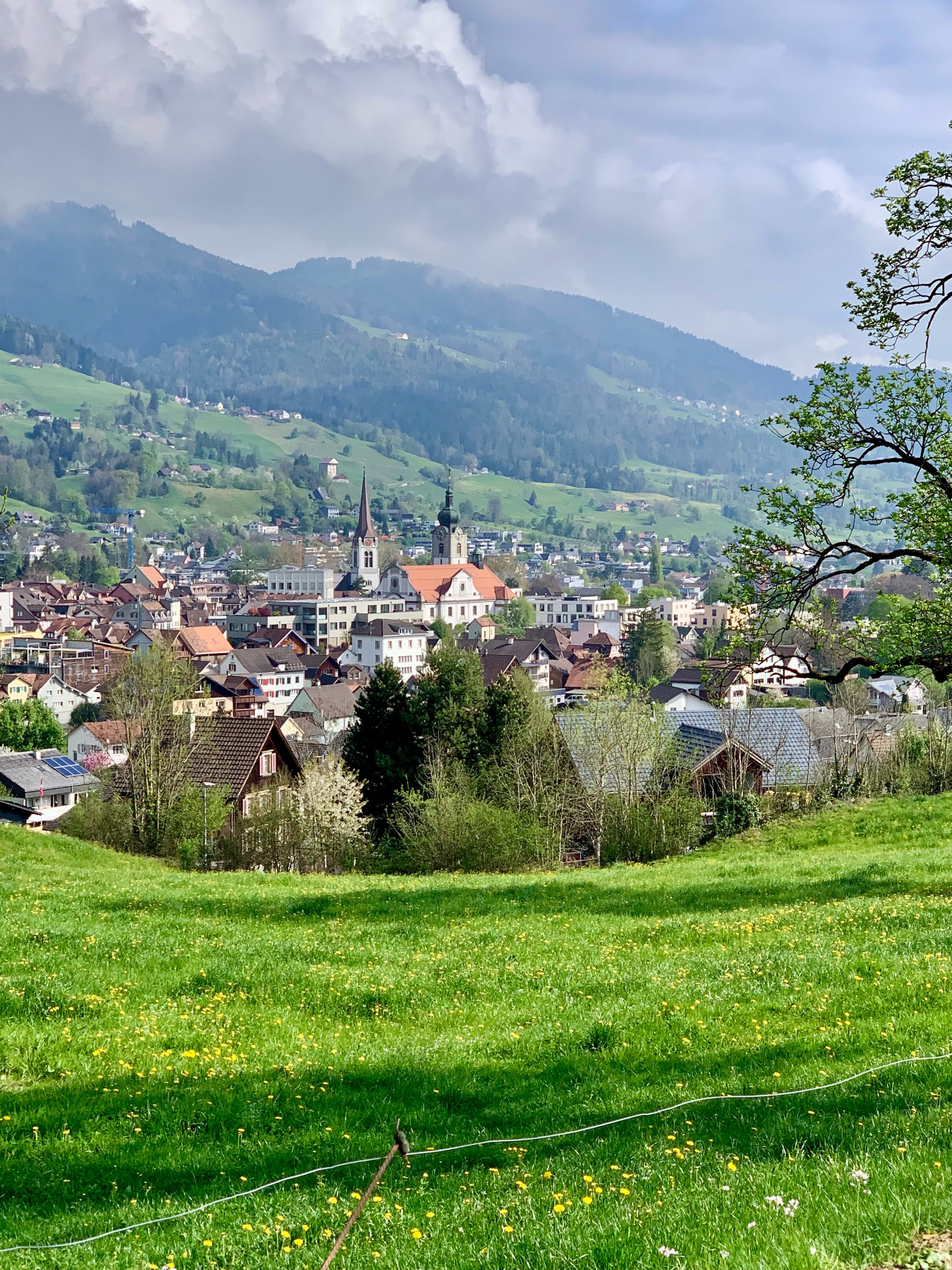
Nix für Flachlandtiroler wie mich
A cycling route starting in Appenzell, Appenzell Innerrhoden, Switzerland.
Overview
About this route
Grossteils asphaltier, steil, kurze Tragepassage, schöne gemütliche Abfahrt nach Gonten
- -:--
- Duration
- 19.4 km
- Distance
- 591 m
- Ascent
- 588 m
- Descent
- ---
- Avg. speed
- ---
- Max. altitude

Route quality
Waytypes & surfaces along the route
Waytypes
Quiet road
9.5 km
(49 %)
Track
2.9 km
(15 %)
Surfaces
Paved
13.5 km
(69 %)
Unpaved
3 km
(15 %)
Asphalt
11.5 km
(59 %)
Gravel
2.9 km
(15 %)
Continue with Bikemap
Use, edit, or download this cycling route
You would like to ride Nix für Flachlandtiroler wie mich or customize it for your own trip? Here is what you can do with this Bikemap route:
Free features
- Save this route as favorite or in collections
- Copy & plan your own version of this route
- Sync your route with Garmin or Wahoo
Premium features
Free trial for 3 days, or one-time payment. More about Bikemap Premium.
- Navigate this route on iOS & Android
- Export a GPX / KML file of this route
- Create your custom printout (try it for free)
- Download this route for offline navigation
Discover more Premium features.
Get Bikemap PremiumFrom our community
Other popular routes starting in Appenzell
 TEST 1
- Distance
- 16.7 km
- Ascent
- 570 m
- Descent
- 558 m
- Location
- Appenzell, Appenzell Innerrhoden, Switzerland
 Hausberg Runde
- Distance
- 19.3 km
- Ascent
- 753 m
- Descent
- 754 m
- Location
- Appenzell, Appenzell Innerrhoden, Switzerland
 Hauptgasse, Appenzell nach Hauptgasse, Appenzell
- Distance
- 18.7 km
- Ascent
- 512 m
- Descent
- 511 m
- Location
- Appenzell, Appenzell Innerrhoden, Switzerland
 Versuch I
- Distance
- 10.1 km
- Ascent
- 531 m
- Descent
- 536 m
- Location
- Appenzell, Appenzell Innerrhoden, Switzerland
 Alpine Tour: Lehmen -> Arbon
- Distance
- 71 km
- Ascent
- 906 m
- Descent
- 1,464 m
- Location
- Appenzell, Appenzell Innerrhoden, Switzerland
 9-Appenzell-Romanshorn-76km-1370Hm 001
- Distance
- 76.8 km
- Ascent
- 1,973 m
- Descent
- 2,348 m
- Location
- Appenzell, Appenzell Innerrhoden, Switzerland
 Appenzell-Stein-Teufen-Bühler-Gais-Appenzell
- Distance
- 25.2 km
- Ascent
- 589 m
- Descent
- 578 m
- Location
- Appenzell, Appenzell Innerrhoden, Switzerland
 Appenzell-E'standen-Schwamm-Ruhsitz-Brülisau-Appenzell
- Distance
- 22.6 km
- Ascent
- 894 m
- Descent
- 767 m
- Location
- Appenzell, Appenzell Innerrhoden, Switzerland
Open it in the app