
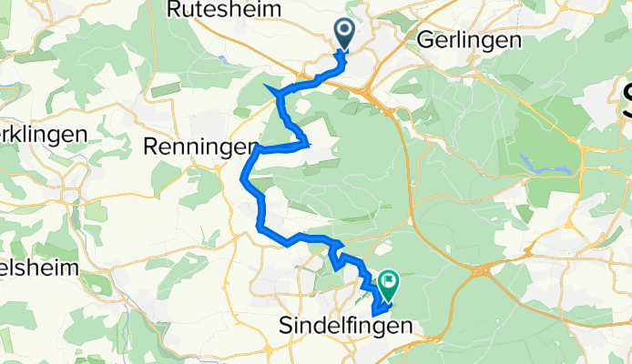
Daimlerstraße 6, Leonberg nach Arthur-Gruber-Straße 70, Sindelfingen
A cycling route starting in Leonberg, Baden-Württemberg, Germany.
Overview
About this route
- 2 h 11 min
- Duration
- 19.2 km
- Distance
- 546 m
- Ascent
- 408 m
- Descent
- 8.8 km/h
- Avg. speed
- 524 m
- Avg. speed
Route quality
Waytypes & surfaces along the route
Waytypes
Quiet road
6 km
(31 %)
Track
3.1 km
(16 %)
Surfaces
Paved
16.3 km
(85 %)
Unpaved
2.3 km
(12 %)
Asphalt
15.8 km
(82 %)
Gravel
1.5 km
(8 %)
Continue with Bikemap
Use, edit, or download this cycling route
You would like to ride Daimlerstraße 6, Leonberg nach Arthur-Gruber-Straße 70, Sindelfingen or customize it for your own trip? Here is what you can do with this Bikemap route:
Free features
- Save this route as favorite or in collections
- Copy & plan your own version of this route
- Sync your route with Garmin or Wahoo
Premium features
Free trial for 3 days, or one-time payment. More about Bikemap Premium.
- Navigate this route on iOS & Android
- Export a GPX / KML file of this route
- Create your custom printout (try it for free)
- Download this route for offline navigation
Discover more Premium features.
Get Bikemap PremiumFrom our community
Other popular routes starting in Leonberg
 Tour de Natur 2012
- Distance
- 27.2 km
- Ascent
- 212 m
- Descent
- 209 m
- Location
- Leonberg, Baden-Württemberg, Germany
 Gerade Fahrt in Leonberg
- Distance
- 28.1 km
- Ascent
- 573 m
- Descent
- 516 m
- Location
- Leonberg, Baden-Württemberg, Germany
 Brauhaus-Tour
- Distance
- 21.4 km
- Ascent
- 210 m
- Descent
- 99 m
- Location
- Leonberg, Baden-Württemberg, Germany
 Rund um Leonberg
- Distance
- 39.6 km
- Ascent
- 415 m
- Descent
- 415 m
- Location
- Leonberg, Baden-Württemberg, Germany
 Leo - Sifi - Renningen - Leo
- Distance
- 30.7 km
- Ascent
- 404 m
- Descent
- 415 m
- Location
- Leonberg, Baden-Württemberg, Germany
 Enztal und Schwarzwald
- Distance
- 102.9 km
- Ascent
- 1,122 m
- Descent
- 1,122 m
- Location
- Leonberg, Baden-Württemberg, Germany
 Meine ersten fast 50 Kilometer
- Distance
- 49.2 km
- Ascent
- 523 m
- Descent
- 486 m
- Location
- Leonberg, Baden-Württemberg, Germany
 Rutesheim - Schillerhöhe
- Distance
- 27.2 km
- Ascent
- 304 m
- Descent
- 304 m
- Location
- Leonberg, Baden-Württemberg, Germany
Open it in the app