

Brévonnes à 9 Rue des Tilleuls, Puits-et-Nuisement
A cycling route starting in Piney, Alsace-Champagne-Ardenne-Lorraine, France.
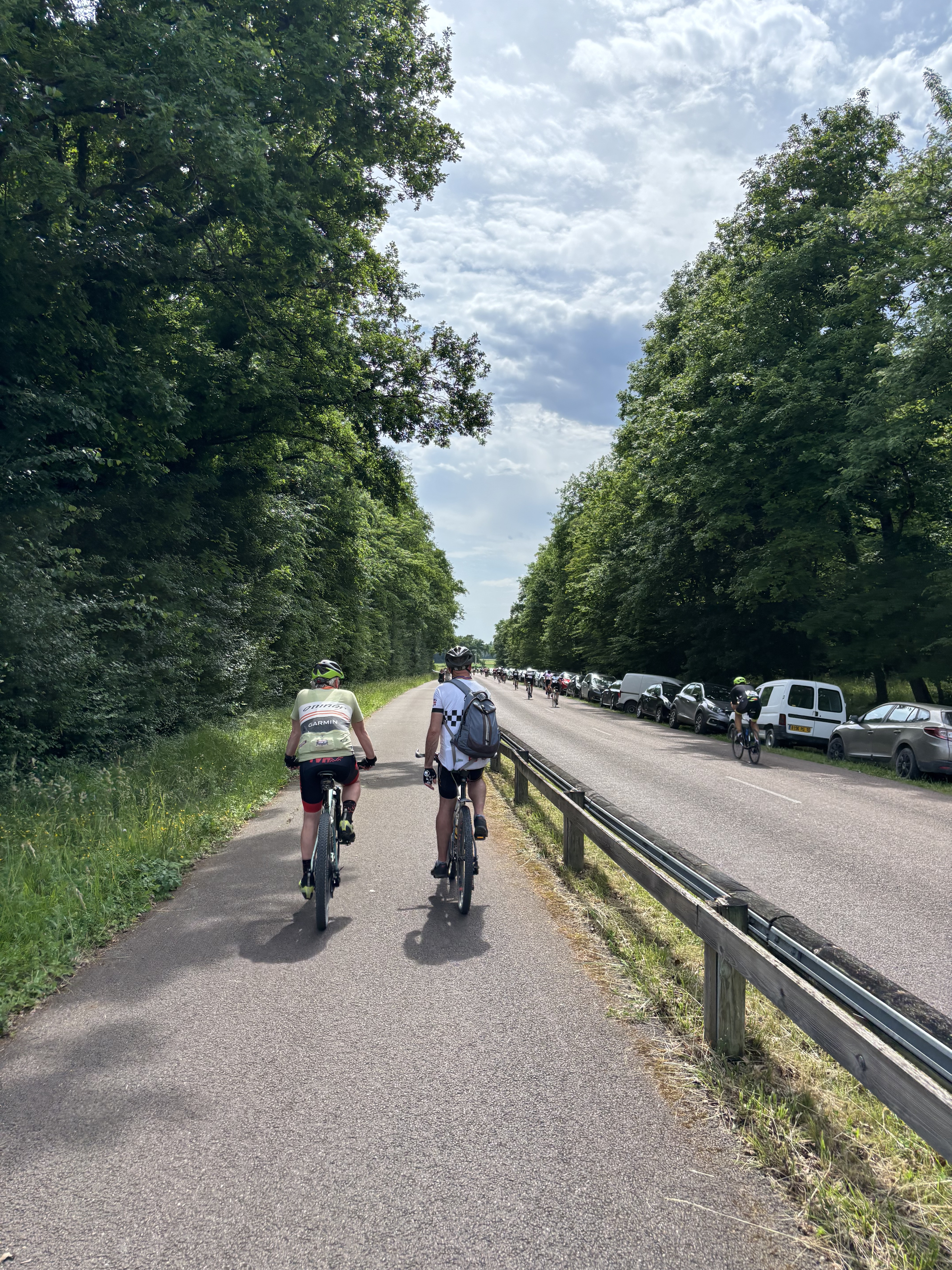
Overview
About this route
- 1 h 9 min
- Duration
- 24.5 km
- Distance
- 404 m
- Ascent
- 345 m
- Descent
- 21.4 km/h
- Avg. speed
- 204 m
- Avg. speed
Route quality
Waytypes & surfaces along the route
Waytypes
Cycleway
9.6 km
(39 %)
Busy road
7.7 km
(32 %)
Surfaces
Paved
9.3 km
(38 %)
Unpaved
2.9 km
(12 %)
Asphalt
9.3 km
(38 %)
Gravel
2.9 km
(12 %)
Continue with Bikemap
Use, edit, or download this cycling route
You would like to ride Brévonnes à 9 Rue des Tilleuls, Puits-et-Nuisement or customize it for your own trip? Here is what you can do with this Bikemap route:
Free features
- Save this route as favorite or in collections
- Copy & plan your own version of this route
- Sync your route with Garmin or Wahoo
Premium features
Free trial for 3 days, or one-time payment. More about Bikemap Premium.
- Navigate this route on iOS & Android
- Export a GPX / KML file of this route
- Create your custom printout (try it for free)
- Download this route for offline navigation
Discover more Premium features.
Get Bikemap PremiumFrom our community
Other popular routes starting in Piney
 Rue du Fort Saint-Georges, Géraudot to Rue Louis le Clert, Troyes
- Distance
- 31.7 km
- Ascent
- 25 m
- Descent
- 44 m
- Location
- Piney, Alsace-Champagne-Ardenne-Lorraine, France
 48.364, 4.334 naar 48.255, 4.269
- Distance
- 24.5 km
- Ascent
- 106 m
- Descent
- 101 m
- Location
- Piney, Alsace-Champagne-Ardenne-Lorraine, France
 lac du Temple + schiereiland
- Distance
- 17.2 km
- Ascent
- 38 m
- Descent
- 35 m
- Location
- Piney, Alsace-Champagne-Ardenne-Lorraine, France
 Aadorf - Paris 8. Tag Géraudot - Saint-Hilaire-sous-Romilly
- Distance
- 81.1 km
- Ascent
- 48 m
- Descent
- 127 m
- Location
- Piney, Alsace-Champagne-Ardenne-Lorraine, France
 Jour 6 : Troyes-Pontigny
- Distance
- 123.2 km
- Ascent
- 360 m
- Descent
- 327 m
- Location
- Piney, Alsace-Champagne-Ardenne-Lorraine, France
 Rue du Général Bertrand nach Rue des Bleuets
- Distance
- 37.6 km
- Ascent
- 64 m
- Descent
- 114 m
- Location
- Piney, Alsace-Champagne-Ardenne-Lorraine, France
 De ò!Ä? à ò!Ä?
- Distance
- 25.8 km
- Ascent
- 20 m
- Descent
- 20 m
- Location
- Piney, Alsace-Champagne-Ardenne-Lorraine, France
 Sommerurlaub 2010 Etappe 6
- Distance
- 96.5 km
- Ascent
- 542 m
- Descent
- 436 m
- Location
- Piney, Alsace-Champagne-Ardenne-Lorraine, France
Open it in the app