
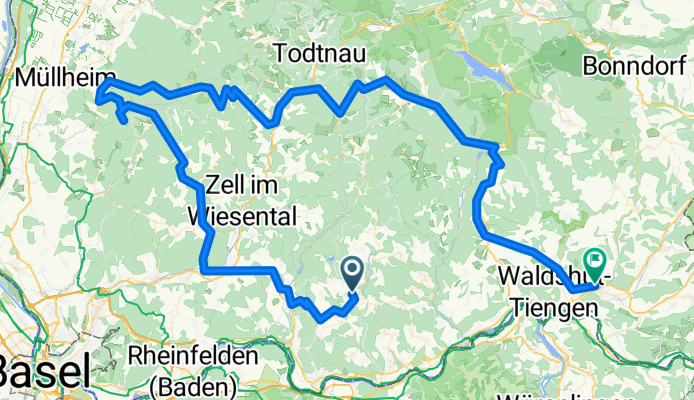
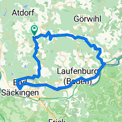
Hochschwarzwald '11: RickenbBlauenBadenwKreuzwegNeuenwegSchönauBernauStBlHöch
A cycling route starting in Rickenbach, Baden-Württemberg, Germany.
Overview
About this route
Anfahrt mit Manu (Tenniscamp-Trainer) + Skoda
- -:--
- Duration
- 139.7 km
- Distance
- 2,247 m
- Ascent
- 2,653 m
- Descent
- ---
- Avg. speed
- ---
- Avg. speed

Route quality
Waytypes & surfaces along the route
Waytypes
Busy road
95.5 km
(68 %)
Road
12 km
(9 %)
Surfaces
Paved
107 km
(77 %)
Unpaved
9.1 km
(7 %)
Asphalt
104.3 km
(75 %)
Gravel
6 km
(4 %)
Continue with Bikemap
Use, edit, or download this cycling route
You would like to ride Hochschwarzwald '11: RickenbBlauenBadenwKreuzwegNeuenwegSchönauBernauStBlHöch or customize it for your own trip? Here is what you can do with this Bikemap route:
Free features
- Save this route as favorite or in collections
- Copy & plan your own version of this route
- Sync your route with Garmin or Wahoo
Premium features
Free trial for 3 days, or one-time payment. More about Bikemap Premium.
- Navigate this route on iOS & Android
- Export a GPX / KML file of this route
- Create your custom printout (try it for free)
- Download this route for offline navigation
Discover more Premium features.
Get Bikemap PremiumFrom our community
Other popular routes starting in Rickenbach
 ?$?È? nach ?$?È?
- Distance
- 20.1 km
- Ascent
- 339 m
- Descent
- 334 m
- Location
- Rickenbach, Baden-Württemberg, Germany
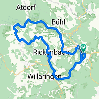
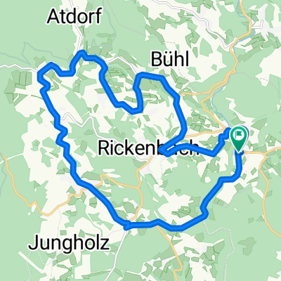
 Hotzenwaldrunde
- Distance
- 37.3 km
- Ascent
- 762 m
- Descent
- 762 m
- Location
- Rickenbach, Baden-Württemberg, Germany
 BadischeWeinradweg1
- Distance
- 416.8 km
- Ascent
- 3,254 m
- Descent
- 3,149 m
- Location
- Rickenbach, Baden-Württemberg, Germany
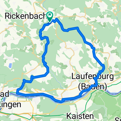
 Hotzenwald-Rheintal
- Distance
- 44.7 km
- Ascent
- 617 m
- Descent
- 613 m
- Location
- Rickenbach, Baden-Württemberg, Germany
 ¿kÍ? nach ¿kÍ?
- Distance
- 19.8 km
- Ascent
- 298 m
- Descent
- 301 m
- Location
- Rickenbach, Baden-Württemberg, Germany
 Hochschwarzwald '11: RickenbBlauenBadenwKreuzwegNeuenwegSchönauBernauStBlHöch
- Distance
- 139.7 km
- Ascent
- 2,247 m
- Descent
- 2,653 m
- Location
- Rickenbach, Baden-Württemberg, Germany
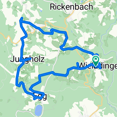
 20210411_Ortsrunde
- Distance
- 30.2 km
- Ascent
- 514 m
- Descent
- 517 m
- Location
- Rickenbach, Baden-Württemberg, Germany
 Wieladingen 14, Rickenbach nach Wieladingen 14, Rickenbach
- Distance
- 17.4 km
- Ascent
- 250 m
- Descent
- 250 m
- Location
- Rickenbach, Baden-Württemberg, Germany
Open it in the app