

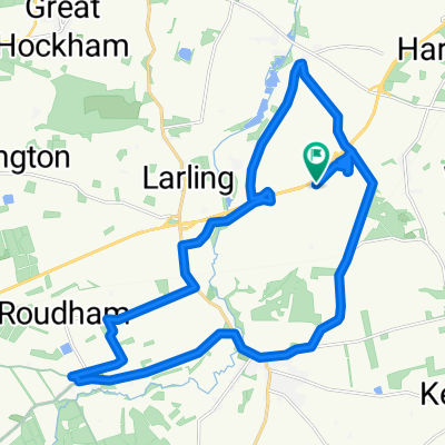
Sallow Lane, Larling, Norwich to Lynford, Brandon
A cycling route starting in Snetterton, England, United Kingdom.
Overview
About this route
- 1 h 35 min
- Duration
- 22 km
- Distance
- 85 m
- Ascent
- 101 m
- Descent
- 13.9 km/h
- Avg. speed
- 49 m
- Avg. speed
Route quality
Waytypes & surfaces along the route
Waytypes
Road
8.3 km
(38 %)
Pedestrian area
5.8 km
(26 %)
Surfaces
Paved
6.3 km
(29 %)
Unpaved
1.3 km
(6 %)
Asphalt
6.3 km
(29 %)
Sand
1.1 km
(5 %)
Continue with Bikemap
Use, edit, or download this cycling route
You would like to ride Sallow Lane, Larling, Norwich to Lynford, Brandon or customize it for your own trip? Here is what you can do with this Bikemap route:
Free features
- Save this route as favorite or in collections
- Copy & plan your own version of this route
- Sync your route with Garmin or Wahoo
Premium features
Free trial for 3 days, or one-time payment. More about Bikemap Premium.
- Navigate this route on iOS & Android
- Export a GPX / KML file of this route
- Create your custom printout (try it for free)
- Download this route for offline navigation
Discover more Premium features.
Get Bikemap PremiumFrom our community
Other popular routes starting in Snetterton
 Café Cadence to Norwich via Wymondham quieter
- Distance
- 36.2 km
- Ascent
- 136 m
- Descent
- 146 m
- Location
- Snetterton, England, United Kingdom
 Sallow Lane, Larling, Norwich to Lynford, Brandon
- Distance
- 22 km
- Ascent
- 85 m
- Descent
- 101 m
- Location
- Snetterton, England, United Kingdom
 Café Cadence via Hapton to Rose Tavern
- Distance
- 32.4 km
- Ascent
- 168 m
- Descent
- 175 m
- Location
- Snetterton, England, United Kingdom
 Sallow Lane, Larling, Norwich to South Lopham, Breckland
- Distance
- 17.9 km
- Ascent
- 88 m
- Descent
- 83 m
- Location
- Snetterton, England, United Kingdom
 Illington loop
- Distance
- 80.4 km
- Ascent
- 218 m
- Descent
- 218 m
- Location
- Snetterton, England, United Kingdom
 old buck to Stowe bedon
- Distance
- 16.5 km
- Ascent
- 65 m
- Descent
- 79 m
- Location
- Snetterton, England, United Kingdom
 Harling Road to Harling Road Snetterton
- Distance
- 24.5 km
- Ascent
- 71 m
- Descent
- 70 m
- Location
- Snetterton, England, United Kingdom
 Stow Bedon 50m
- Distance
- 80.5 km
- Ascent
- 176 m
- Descent
- 176 m
- Location
- Snetterton, England, United Kingdom
Open it in the app