

The Alpine Loop (Long Version)
A cycling route starting in Silverton, Colorado, United States of America.
Overview
About this route
- -:--
- Duration
- 113 km
- Distance
- 5,133 m
- Ascent
- 5,133 m
- Descent
- ---
- Avg. speed
- 4,024 m
- Avg. speed

Route quality
Waytypes & surfaces along the route
Waytypes
Track
51.7 km
(46 %)
Quiet road
29.3 km
(26 %)
Surfaces
Paved
17.9 km
(16 %)
Unpaved
79.7 km
(71 %)
Gravel
34.2 km
(30 %)
Unpaved (undefined)
23.7 km
(21 %)
Continue with Bikemap
Use, edit, or download this cycling route
You would like to ride The Alpine Loop (Long Version) or customize it for your own trip? Here is what you can do with this Bikemap route:
Free features
- Save this route as favorite or in collections
- Copy & plan your own version of this route
- Sync your route with Garmin or Wahoo
Premium features
Free trial for 3 days, or one-time payment. More about Bikemap Premium.
- Navigate this route on iOS & Android
- Export a GPX / KML file of this route
- Create your custom printout (try it for free)
- Download this route for offline navigation
Discover more Premium features.
Get Bikemap PremiumFrom our community
Other popular routes starting in Silverton
 Seg30_alt(2)
- Distance
- 10 km
- Ascent
- 581 m
- Descent
- 98 m
- Location
- Silverton, Colorado, United States of America
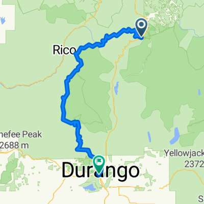
 Day 12: Silverton - Durango
- Distance
- 77.8 km
- Ascent
- 826 m
- Descent
- 1,667 m
- Location
- Silverton, Colorado, United States of America
 CT. 2016
- Distance
- 130.5 km
- Ascent
- 1,782 m
- Descent
- 3,104 m
- Location
- Silverton, Colorado, United States of America
 The Alpine Loop (Bikepacking Overnighter)
- Distance
- 123.2 km
- Ascent
- 3,894 m
- Descent
- 3,894 m
- Location
- Silverton, Colorado, United States of America
 Seg30(main+alt)
- Distance
- 188.8 km
- Ascent
- 4,504 m
- Descent
- 3,577 m
- Location
- Silverton, Colorado, United States of America
 The Alpine Loop (Long Version)
- Distance
- 113 km
- Ascent
- 5,133 m
- Descent
- 5,133 m
- Location
- Silverton, Colorado, United States of America
 2016 Bike Tour Day 6: Silverton to Ouray
- Distance
- 37.3 km
- Ascent
- 592 m
- Descent
- 1,048 m
- Location
- Silverton, Colorado, United States of America
 Molas Hermosa Creek
- Distance
- 81 km
- Ascent
- 2,474 m
- Descent
- 3,412 m
- Location
- Silverton, Colorado, United States of America
Open it in the app