

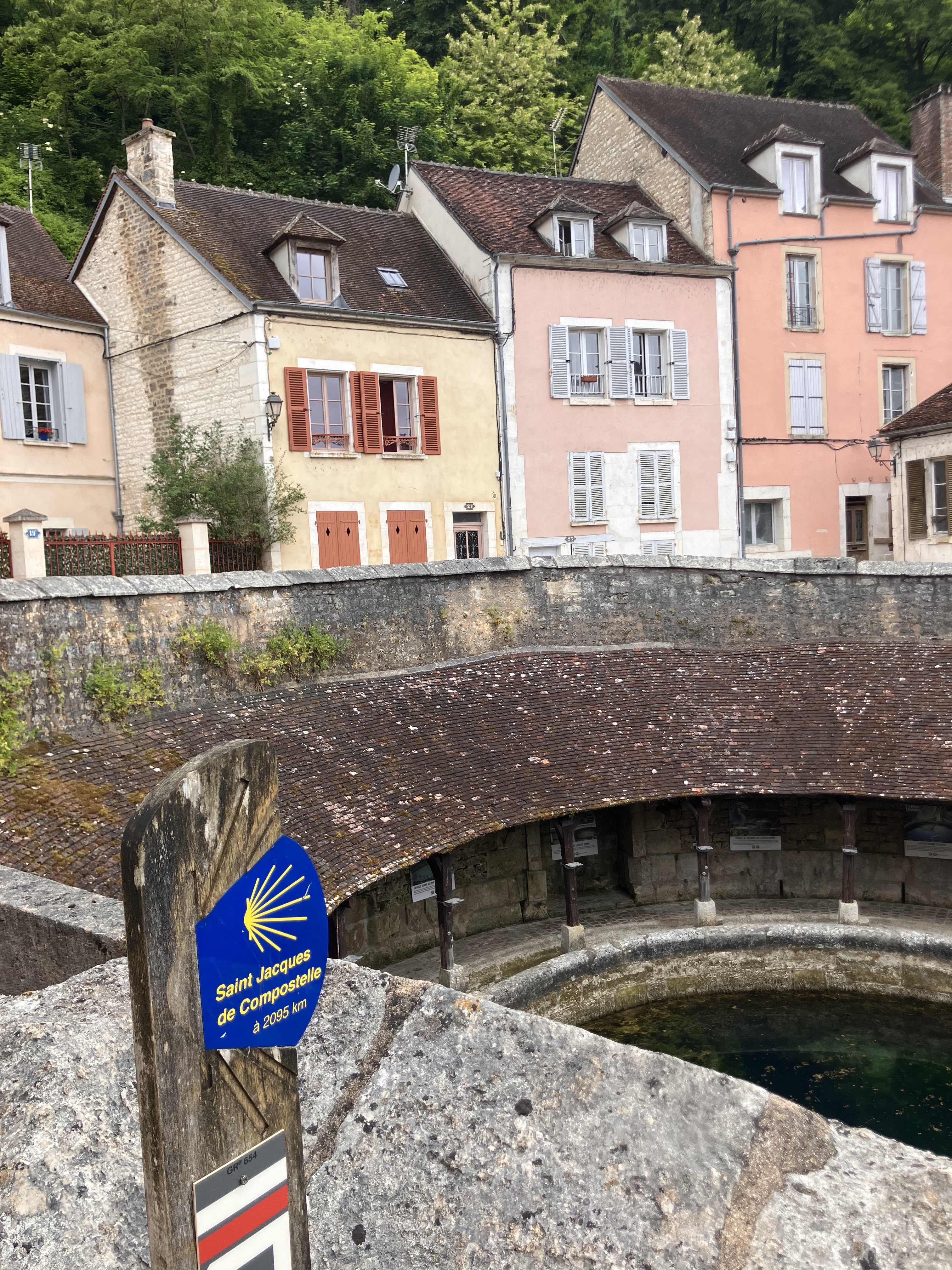
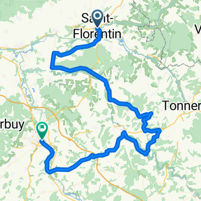
De Place de l'Église 15, Saint-Florentin à Route de Tonnerre 2, Vézinnes
A cycling route starting in Saint-Florentin, Bourgogne-Franche-Comté, France.
Overview
About this route
- 2 h 58 min
- Duration
- 47.8 km
- Distance
- 382 m
- Ascent
- 370 m
- Descent
- 16.1 km/h
- Avg. speed
- 262 m
- Avg. speed

Route quality
Waytypes & surfaces along the route
Waytypes
Road
19.2 km
(40 %)
Quiet road
11.7 km
(24 %)
Surfaces
Paved
12.8 km
(27 %)
Unpaved
0 km
(<1 %)
Asphalt
12.8 km
(27 %)
Unpaved (undefined)
0 km
(<1 %)
Continue with Bikemap
Use, edit, or download this cycling route
You would like to ride De Place de l'Église 15, Saint-Florentin à Route de Tonnerre 2, Vézinnes or customize it for your own trip? Here is what you can do with this Bikemap route:
Free features
- Save this route as favorite or in collections
- Copy & plan your own version of this route
- Sync your route with Garmin or Wahoo
Premium features
Free trial for 3 days, or one-time payment. More about Bikemap Premium.
- Navigate this route on iOS & Android
- Export a GPX / KML file of this route
- Create your custom printout (try it for free)
- Download this route for offline navigation
Discover more Premium features.
Get Bikemap PremiumFrom our community
Other popular routes starting in Saint-Florentin
 Lyon - Paris (jour 7)
- Distance
- 49.2 km
- Ascent
- 94 m
- Descent
- 119 m
- Location
- Saint-Florentin, Bourgogne-Franche-Comté, France
 Rue Basse du Remparts, Saint-Florentin to Rue de la Fosse Dionne, Tonnerre
- Distance
- 29 km
- Ascent
- 74 m
- Descent
- 52 m
- Location
- Saint-Florentin, Bourgogne-Franche-Comté, France
 Projet J1 - St Florentin/ Buffon
- Distance
- 69.8 km
- Ascent
- 221 m
- Descent
- 142 m
- Location
- Saint-Florentin, Bourgogne-Franche-Comté, France
 De Place de l'Église 15, Saint-Florentin à Route de Tonnerre 2, Vézinnes
- Distance
- 47.8 km
- Ascent
- 382 m
- Descent
- 370 m
- Location
- Saint-Florentin, Bourgogne-Franche-Comté, France
 2020 Bourgogne dag 1
- Distance
- 108 km
- Ascent
- 87 m
- Descent
- 38 m
- Location
- Saint-Florentin, Bourgogne-Franche-Comté, France
 Bourgogne St.Florentin - Auxerre
- Distance
- 92.9 km
- Ascent
- 619 m
- Descent
- 644 m
- Location
- Saint-Florentin, Bourgogne-Franche-Comté, France
 Rue du Bassin, Saint-Florentin to Chemin d'Armeau, Villevallier
- Distance
- 42 km
- Ascent
- 189 m
- Descent
- 218 m
- Location
- Saint-Florentin, Bourgogne-Franche-Comté, France
 V2-Boucle Canal de Bourgogne– Canal de bourgogne au départ de Saint-Florentin - Vergigny
- Distance
- 210.4 km
- Ascent
- 963 m
- Descent
- 972 m
- Location
- Saint-Florentin, Bourgogne-Franche-Comté, France
Open it in the app