

2022 F4F Route - FINAL (8/17/22)
A cycling route starting in Saint Michael, Minnesota, United States of America.
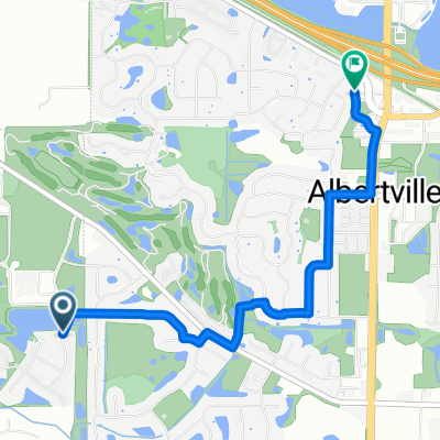
Overview
About this route
- -:--
- Duration
- 165.2 km
- Distance
- 560 m
- Ascent
- 559 m
- Descent
- ---
- Avg. speed
- 328 m
- Avg. speed

Route quality
Waytypes & surfaces along the route
Waytypes
Road
54.9 km
(33 %)
Busy road
43.3 km
(26 %)
Surfaces
Paved
101.4 km
(61 %)
Unpaved
5.2 km
(3 %)
Asphalt
76.4 km
(46 %)
Paved (undefined)
23.4 km
(14 %)
Continue with Bikemap
Use, edit, or download this cycling route
You would like to ride 2022 F4F Route - FINAL (8/17/22) or customize it for your own trip? Here is what you can do with this Bikemap route:
Free features
- Save this route as favorite or in collections
- Copy & plan your own version of this route
- Sync your route with Garmin or Wahoo
Premium features
Free trial for 3 days, or one-time payment. More about Bikemap Premium.
- Navigate this route on iOS & Android
- Export a GPX / KML file of this route
- Create your custom printout (try it for free)
- Download this route for offline navigation
Discover more Premium features.
Get Bikemap PremiumFrom our community
Other popular routes starting in Saint Michael
 70 mile training route
- Distance
- 115.1 km
- Ascent
- 380 m
- Descent
- 378 m
- Location
- Saint Michael, Minnesota, United States of America
 216 Main St S, Saint Michael to 208 Main St S, Saint Michael
- Distance
- 21.1 km
- Ascent
- 119 m
- Descent
- 121 m
- Location
- Saint Michael, Minnesota, United States of America
 537 Heights Rd NW, Saint Michael to 537 Heights Rd NW, Saint Michael
- Distance
- 7.8 km
- Ascent
- 23 m
- Descent
- 22 m
- Location
- Saint Michael, Minnesota, United States of America
 5240 Jansen Ave NE, Saint Michael to 6120 Kalland Cir NE, Albertville
- Distance
- 3.3 km
- Ascent
- 8 m
- Descent
- 4 m
- Location
- Saint Michael, Minnesota, United States of America
 537 Heights Rd NW, Saint Michael to 537 Heights Rd NW, Saint Michael
- Distance
- 5.4 km
- Ascent
- 29 m
- Descent
- 28 m
- Location
- Saint Michael, Minnesota, United States of America
 Mason Avenue Northeast 3772, Saint Michael to Prairieview Drive 19554, Rogers
- Distance
- 27.3 km
- Ascent
- 10 m
- Descent
- 3 m
- Location
- Saint Michael, Minnesota, United States of America
 11600 Frankfort Pkwy NE, Saint Michael to 1615 127th St NE, Monticello
- Distance
- 34.6 km
- Ascent
- 101 m
- Descent
- 106 m
- Location
- Saint Michael, Minnesota, United States of America
 2022 F4F Route - FINAL (8/17/22)
- Distance
- 165.2 km
- Ascent
- 560 m
- Descent
- 559 m
- Location
- Saint Michael, Minnesota, United States of America
Open it in the app