Premium Badge Download on the App Store Get it on Google Play Turn-by-turn Navigation Offline Maps Bike Type Optimized Routing Premium Maps Custom Bike Computer Export Routes Route Previews Fall Detection Premium Support

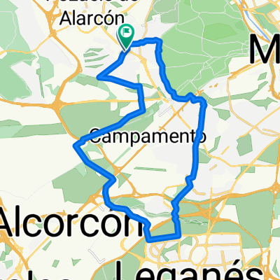
Cycling Route in Pozuelo de Alarcón, Madrid, Spain

Pozuelo-El Escorial-Galapagar-Las Rozas-Pozuelo

1
Open this route in the Bikemap app

Open this route in the Bikemap app

Open this route in Bikemap Web

Open this route in Bikemap Web

81 km
Distance
647 m
Ascent
647 m
Descent
-:-- h
Duration
-- km/h
Avg. Speed
--- m
Max. Elevation

About This Route

Desde el cementerio de Pozuelo, salimos m-513 hasta Brunete, Vva de la Cañada y giramos dirección El Escorial. Al llegar a la carretera de Galapagar, giramos hasta llegar a Galapagar, bajar el puerto hacia Molino de la Hoz, y al pasar por encima de la M-50, coger el siguiente desvío hasta alcanzar la Avda de España, giramos hacia Majadahonda y por la carretera de Pozuelo, llegamos al final de la etapa por el mismo sitio que salimos o por la M-502 -no recomendable por cantidad de tráfico-

This cycling route is ideal for: Road bike

You will cycle on the following surfaces: Paved

Customize this cycling route with the Bikemap route planner.

Make it yours!

Did you know? You can use this route as a template in our cycling route planner if you don't wish to start from scratch. Customize it based on your needs to plan your perfect cycling tour.

Open it in the app