Premium Badge Download on the App Store Get it on Google Play Turn-by-turn Navigation Offline Maps Bike Type Optimized Routing Premium Maps Custom Bike Computer Export Routes Route Previews Fall Detection Premium Support

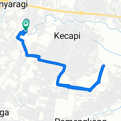
Cycling Route in Cirebon, West Java, Indonesia

Gang Kukusan Timur, Kecamatan Kedawung to Jalan Raya Plered - Cirebon, Kecamatan Tengah Tani

0
Open this route in the Bikemap app

Open this route in the Bikemap app

Open this route in Bikemap Web

Open this route in Bikemap Web

110 km
Distance
2806 m
Ascent
2805 m
Descent
6:32 h
Duration
-- km/h
Avg. Speed
1312 m
Max. Elevation

About This Route

This cycling route is ideal for: MTB

Customize this cycling route with the Bikemap route planner.

Make it yours!

Did you know? You can use this route as a template in our cycling route planner if you don't wish to start from scratch. Customize it based on your needs to plan your perfect cycling tour.

Open it in the app