
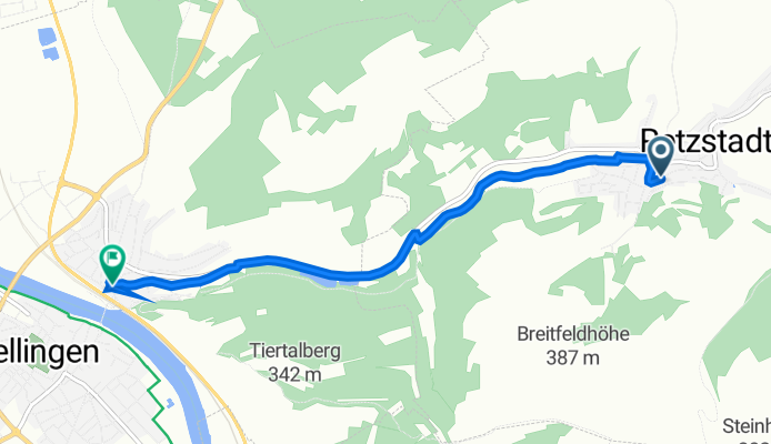
Unterdorfstraße 27, Retzstadt to Untere Hauptstraße 2–6, Zellingen
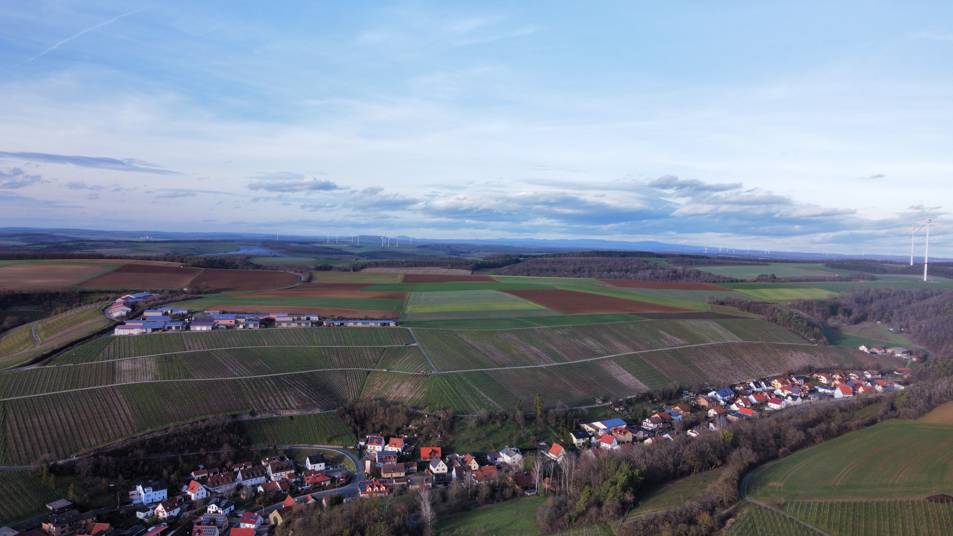
A cycling route starting in Retzstadt, Bavaria, Germany.
Overview
About this route
- 17 min
- Duration
- 4.8 km
- Distance
- 6 m
- Ascent
- 65 m
- Descent
- 16.7 km/h
- Avg. speed
- 237 m
- Avg. speed
Route quality
Waytypes & surfaces along the route
Waytypes
Path
2.6 km
(54 %)
Quiet road
2.1 km
(43 %)
Surfaces
Paved
4.6 km
(96 %)
Asphalt
2.4 km
(50 %)
Paved (undefined)
2.2 km
(46 %)
Undefined
0.2 km
(4 %)
Continue with Bikemap
Use, edit, or download this cycling route
You would like to ride Unterdorfstraße 27, Retzstadt to Untere Hauptstraße 2–6, Zellingen or customize it for your own trip? Here is what you can do with this Bikemap route:
Free features
- Save this route as favorite or in collections
- Copy & plan your own version of this route
- Sync your route with Garmin or Wahoo
Premium features
Free trial for 3 days, or one-time payment. More about Bikemap Premium.
- Navigate this route on iOS & Android
- Export a GPX / KML file of this route
- Create your custom printout (try it for free)
- Download this route for offline navigation
Discover more Premium features.
Get Bikemap PremiumFrom our community
Other popular routes starting in Retzstadt
 Panorama-Rundkurs: Retzstadt - Veitshöchheim - Retzstadt
- Distance
- 47.1 km
- Ascent
- 978 m
- Descent
- 977 m
- Location
- Retzstadt, Bavaria, Germany
 ZweiUferPanoramaweg - Komplette Strecke
- Distance
- 83.1 km
- Ascent
- 1,339 m
- Descent
- 1,515 m
- Location
- Retzstadt, Bavaria, Germany
 2013-09-03 Von Retzstadt durch das Werntal nach Sennfeld
- Distance
- 123.5 km
- Ascent
- 319 m
- Descent
- 212 m
- Location
- Retzstadt, Bavaria, Germany
 ZweiUferPanoramaweg - Komplette Strecke - ZweiUferPanoramaweg - Komplette Strecke
- Distance
- 47 km
- Ascent
- 1,208 m
- Descent
- 1,207 m
- Location
- Retzstadt, Bavaria, Germany
 2013-09-03 Von Retzstadt durch das Werntal nach Sennfeld
- Distance
- 86.5 km
- Ascent
- 148 m
- Descent
- 174 m
- Location
- Retzstadt, Bavaria, Germany
 Retzstadt - Bettingen
- Distance
- 79.3 km
- Ascent
- 123 m
- Descent
- 210 m
- Location
- Retzstadt, Bavaria, Germany
 Route nach Arnstein
- Distance
- 7 km
- Ascent
- 156 m
- Descent
- 203 m
- Location
- Retzstadt, Bavaria, Germany
 Fronleichnamstour_RMK
- Distance
- 475.6 km
- Ascent
- 685 m
- Descent
- 765 m
- Location
- Retzstadt, Bavaria, Germany
Open it in the app