
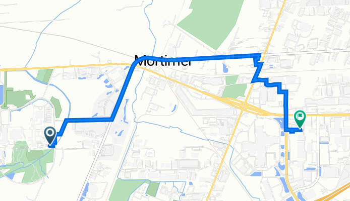
Andrews Memorial Dr, Rochester to 300 Hylan Dr, Rochester
A cycling route starting in Rochester, New York, United States of America.
Overview
About this route
- 19 min
- Duration
- 5.1 km
- Distance
- 8 m
- Ascent
- 5 m
- Descent
- 16.6 km/h
- Avg. speed
- 164 m
- Avg. speed

Route quality
Waytypes & surfaces along the route
Waytypes
Road
2.4 km
(47 %)
Quiet road
1.4 km
(27 %)
Surfaces
Paved
3.5 km
(69 %)
Asphalt
3.5 km
(69 %)
Undefined
1.6 km
(31 %)
Continue with Bikemap
Use, edit, or download this cycling route
You would like to ride Andrews Memorial Dr, Rochester to 300 Hylan Dr, Rochester or customize it for your own trip? Here is what you can do with this Bikemap route:
Free features
- Save this route as favorite or in collections
- Copy & plan your own version of this route
- Sync your route with Garmin or Wahoo
Premium features
Free trial for 3 days, or one-time payment. More about Bikemap Premium.
- Navigate this route on iOS & Android
- Export a GPX / KML file of this route
- Create your custom printout (try it for free)
- Download this route for offline navigation
Discover more Premium features.
Get Bikemap PremiumFrom our community
Other popular routes starting in Rochester
 UR/Erie canal/college town
- Distance
- 17.3 km
- Ascent
- 358 m
- Descent
- 360 m
- Location
- Rochester, New York, United States of America
 33 Corporate Woods, Rochester to 33 Corporate Woods, Rochester
- Distance
- 19.1 km
- Ascent
- 135 m
- Descent
- 137 m
- Location
- Rochester, New York, United States of America
 ROCHESTER TO SODUS POINT 63 miles
- Distance
- 63.2 km
- Ascent
- 140 m
- Descent
- 213 m
- Location
- Rochester, New York, United States of America
 Biking to the Farm
- Distance
- 147.6 km
- Ascent
- 898 m
- Descent
- 468 m
- Location
- Rochester, New York, United States of America
 Rochester Canal Ride
- Distance
- 11.8 km
- Ascent
- 35 m
- Descent
- 42 m
- Location
- Rochester, New York, United States of America
 Johan-Tim ride
- Distance
- 43.8 km
- Ascent
- 123 m
- Descent
- 122 m
- Location
- Rochester, New York, United States of America
 Project Pick-Me-Up Bike Ride
- Distance
- 2 km
- Ascent
- 10 m
- Descent
- 9 m
- Location
- Rochester, New York, United States of America
 Genesee Riverway Trail, Rochester to Hawthorn Dr, Rochester
- Distance
- 15.3 km
- Ascent
- 285 m
- Descent
- 278 m
- Location
- Rochester, New York, United States of America
Open it in the app