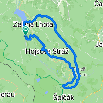
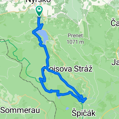
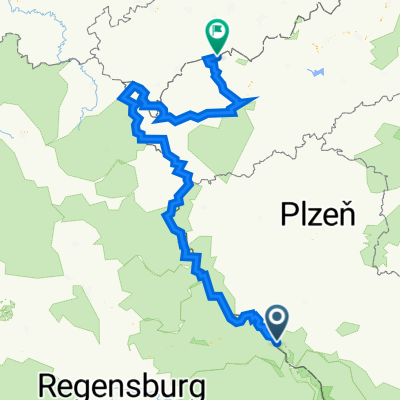
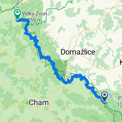
Cycling Route in Nýrsko, Plzeňský kraj, Czechia
Cyklovandr 2011-1.den
0
Open this route in the Bikemap app

Open this route in Bikemap Web
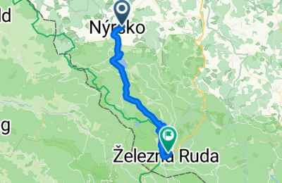
27
km
Distance
Distance
739
m
Ascent
Ascent
305
m
Descent
Descent
-:--
h
Duration
Duration
--
km/h
Avg. Speed
Avg. Speed
---
m
Max. Elevation
Max. Elevation