

75ks hilly.
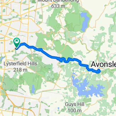
A cycling route starting in Knoxfield, Victoria, Australia.
Overview
About this route
ftg, sass, belgrave, menzies, kallista, emerald and back
- -:--
- Duration
- 78.2 km
- Distance
- 1,039 m
- Ascent
- 1,039 m
- Descent
- ---
- Avg. speed
- ---
- Avg. speed
Route quality
Waytypes & surfaces along the route
Waytypes
Busy road
49.9 km
(64 %)
Quiet road
18.6 km
(24 %)
Surfaces
Paved
58.1 km
(74 %)
Unpaved
0.4 km
(<1 %)
Asphalt
57.1 km
(73 %)
Paved (undefined)
0.8 km
(<1 %)
Continue with Bikemap
Use, edit, or download this cycling route
You would like to ride 75ks hilly. or customize it for your own trip? Here is what you can do with this Bikemap route:
Free features
- Save this route as favorite or in collections
- Copy & plan your own version of this route
- Sync your route with Garmin or Wahoo
Premium features
Free trial for 3 days, or one-time payment. More about Bikemap Premium.
- Navigate this route on iOS & Android
- Export a GPX / KML file of this route
- Create your custom printout (try it for free)
- Download this route for offline navigation
Discover more Premium features.
Get Bikemap PremiumFrom our community
Other popular routes starting in Knoxfield
 Gerry 100 km
- Distance
- 94.6 km
- Ascent
- 341 m
- Descent
- 341 m
- Location
- Knoxfield, Victoria, Australia
 Burwood Highway 425, Wantirna South to Burwood Highway 425, Wantirna South
- Distance
- 11.6 km
- Ascent
- 5 m
- Descent
- 3 m
- Location
- Knoxfield, Victoria, Australia
 4 Jacob Dr, Rowville to 3 Caloola Ct, Rowville
- Distance
- 27.8 km
- Ascent
- 455 m
- Descent
- 455 m
- Location
- Knoxfield, Victoria, Australia
 FTG to Emerald to FTG
- Distance
- 44.3 km
- Ascent
- 521 m
- Descent
- 524 m
- Location
- Knoxfield, Victoria, Australia
 Burwood Highway, Ferntree Gully to 385–387 Scoresby Rd, Knoxfield
- Distance
- 0.2 km
- Ascent
- 0 m
- Descent
- 0 m
- Location
- Knoxfield, Victoria, Australia
 city ride
- Distance
- 76.3 km
- Ascent
- 354 m
- Descent
- 356 m
- Location
- Knoxfield, Victoria, Australia
 Long and then some hills
- Distance
- 136.3 km
- Ascent
- 772 m
- Descent
- 771 m
- Location
- Knoxfield, Victoria, Australia
 Ferntree to Donna and back
- Distance
- 159.9 km
- Ascent
- 2,398 m
- Descent
- 2,401 m
- Location
- Knoxfield, Victoria, Australia
Open it in the app